1915 Eastside Dr Newton, NC 28658
Estimated Value: $185,000 - $208,000
3
Beds
2
Baths
1,068
Sq Ft
$185/Sq Ft
Est. Value
About This Home
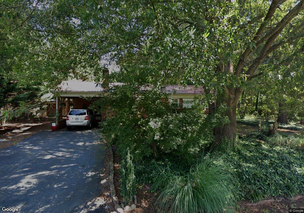
This home is located at 1915 Eastside Dr, Newton, NC 28658 and is currently estimated at $197,622, approximately $185 per square foot. 1915 Eastside Dr is a home located in Catawba County with nearby schools including North Newton Elementary School, Newton-Conover Middle School, and Newton-Conover High School.
Ownership History
Date
Name
Owned For
Owner Type
Purchase Details
Closed on
Oct 1, 2003
Bought by
Powers Kenneth Eugene and Jo Ann
Current Estimated Value
Purchase Details
Closed on
Dec 1, 1996
Create a Home Valuation Report for This Property
The Home Valuation Report is an in-depth analysis detailing your home's value as well as a comparison with similar homes in the area
Home Values in the Area
Average Home Value in this Area
Purchase History
| Date | Buyer | Sale Price | Title Company |
|---|---|---|---|
| Powers Kenneth Eugene | $63,000 | -- | |
| -- | $46,500 | -- |
Source: Public Records
Tax History Compared to Growth
Tax History
| Year | Tax Paid | Tax Assessment Tax Assessment Total Assessment is a certain percentage of the fair market value that is determined by local assessors to be the total taxable value of land and additions on the property. | Land | Improvement |
|---|---|---|---|---|
| 2025 | $1,457 | $171,700 | $7,100 | $164,600 |
| 2024 | $1,457 | $171,700 | $7,100 | $164,600 |
| 2023 | $1,457 | $171,700 | $7,100 | $164,600 |
| 2022 | $1,037 | $93,000 | $7,100 | $85,900 |
| 2021 | $1,037 | $93,000 | $7,100 | $85,900 |
| 2020 | $1,037 | $93,000 | $7,100 | $85,900 |
| 2019 | $1,037 | $93,000 | $0 | $0 |
| 2018 | $880 | $78,900 | $7,000 | $71,900 |
| 2017 | $880 | $0 | $0 | $0 |
| 2016 | $880 | $0 | $0 | $0 |
| 2015 | $840 | $78,880 | $7,000 | $71,880 |
| 2014 | $840 | $83,200 | $8,800 | $74,400 |
Source: Public Records
Map
Nearby Homes
- The Braselton II Plan at Rowe Crossing
- The Harrington Plan at Rowe Crossing
- The Coleman Plan at Rowe Crossing
- The Piedmont Plan at Rowe Crossing
- The Reynolds Plan at Rowe Crossing
- The Caldwell Plan at Rowe Crossing
- The Benson II Plan at Rowe Crossing
- 1128 McRee Heights Cir
- 112 W 23rd St
- 0000 Burris Rd
- 932 Eastern Ridge Dr
- 608 E 11th St
- 1208 N Davis Ave
- 00 E 13th St Unit 3
- 00 E 13th St Unit 2
- 210 W 15th St
- 710 Mount Olive Church Rd
- 712 Mount Olive Church Rd
- 1106 3rd Street Dr SE
- 2901 N Shipp Ave