Estimated Value: $288,000 - $401,000
Studio
3
Baths
2,232
Sq Ft
$156/Sq Ft
Est. Value
About This Home
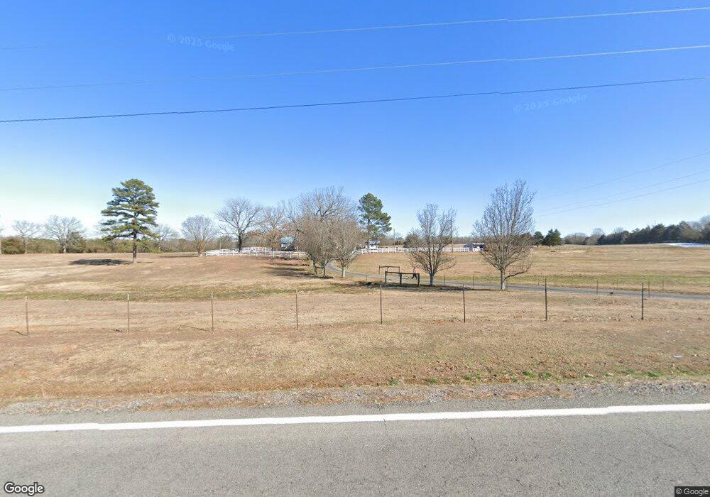
This home is located at 1915 Highway 31 N, Beebe, AR 72012 and is currently estimated at $349,101, approximately $156 per square foot. 1915 Highway 31 N is a home located in White County with nearby schools including Beebe Elementary School, Beebe Junior High School, and Beebe Middle School.
Ownership History
Date
Name
Owned For
Owner Type
Purchase Details
Closed on
May 28, 2022
Sold by
Gibbs Bobby Joe and Gibbs Bob J
Bought by
Gibbs Bob J and Gibbs Bobby Joe
Current Estimated Value
Purchase Details
Closed on
Apr 7, 2021
Sold by
Gibbs Bob J and Bob J Gibbs Living Trust
Bought by
Gibbs Bob J
Purchase Details
Closed on
Sep 17, 2010
Sold by
Gibbs Bob J and Gibbs J B
Bought by
Gibbs Bob J and Bob J Gibbs Living Trust
Purchase Details
Closed on
Nov 5, 1998
Bought by
Gibbs B J
Purchase Details
Closed on
Jun 28, 1996
Bought by
State
Purchase Details
Closed on
Sep 1, 1992
Bought by
Verdier James C and Verdier Faith I
Create a Home Valuation Report for This Property
The Home Valuation Report is an in-depth analysis detailing your home's value as well as a comparison with similar homes in the area
Purchase History
| Date | Buyer | Sale Price | Title Company |
|---|---|---|---|
| Gibbs Bob J | -- | None Listed On Document | |
| Gibbs Bob J | -- | None Available | |
| Gibbs Bob J | -- | -- | |
| Gibbs B J | -- | -- | |
| State | -- | -- | |
| Verdier James C | -- | -- |
Source: Public Records
Tax History
| Year | Tax Paid | Tax Assessment Tax Assessment Total Assessment is a certain percentage of the fair market value that is determined by local assessors to be the total taxable value of land and additions on the property. | Land | Improvement |
|---|---|---|---|---|
| 2025 | $843 | $39,620 | $4,770 | $34,850 |
| 2024 | $843 | $39,620 | $4,770 | $34,850 |
| 2023 | $418 | $39,620 | $4,770 | $34,850 |
| 2022 | $468 | $39,620 | $4,770 | $34,850 |
| 2021 | $468 | $39,620 | $4,770 | $34,850 |
| 2020 | $464 | $36,240 | $2,680 | $33,560 |
| 2019 | $464 | $36,240 | $2,680 | $33,560 |
| 2018 | $489 | $36,240 | $2,680 | $33,560 |
| 2017 | $838 | $36,240 | $2,680 | $33,560 |
| 2016 | $838 | $20,590 | $2,680 | $17,910 |
| 2015 | $834 | $20,480 | $2,140 | $18,340 |
| 2014 | $834 | $20,480 | $2,140 | $18,340 |
Source: Public Records
Map
Nearby Homes
- 401 Liles Rd
- Lot 2 Kenzie Rd Rocky Branch Estates
- Lot 5 Kenzie CV Rocky Branch Estates
- 444 Blue Hole Rd
- 108 Powder River Dr
- 123 Powder River Dr
- 114 Powder River Dr
- 125 Powder River Dr
- 112 Powder River Dr
- 102 Powder River Dr
- 118 Powder River Dr
- 120 Powder River Dr
- 115 Powder River Dr
- 106 Powder River Dr
- 127 Powder River Dr
- 104 Powder River Dr
- 110 Powder River Dr
- 121 Powder River Dr
- 116 Powder River Dr
- 119 Powder River Dr
- 1897 Highway 31 N
- 1922 Highway 31 N
- 1914 Highway 31 N
- 160 Schmitz Ln
- 1906 Highway 31 N
- 1906 Highway 31 N
- 1900 Highway 31 N
- 1939 Highway 31 N
- 1940 Highway 31 N
- 115 Pruitt Ln
- 117 Pruitt Ln
- LOT 8 S Ashley Horton Ln
- 1945 Highway 31 N
- 1945 Highway 31 N
- 121 Ashley Horton Ln
- 1948 Highway 31 N
- 36 Highway 36
- 1948 Highway 31 N
- 1947 Highway 31 N
- 116 Reese Kincaid Dr N
Your Personal Tour Guide
Ask me questions while you tour the home.