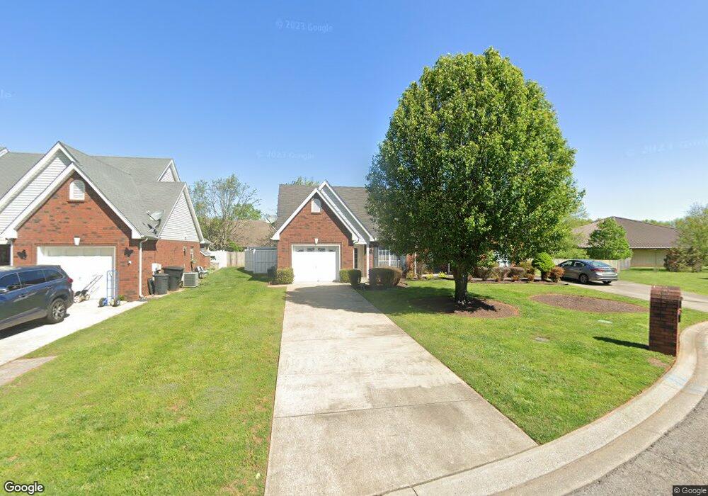
1915 Thomas Ct Murfreesboro, TN 37127
Estimated Value: $274,000 - $299,000
--
Bed
2
Baths
1,128
Sq Ft
$255/Sq Ft
Est. Value
About This Home
This home is located at 1915 Thomas Ct, Murfreesboro, TN 37127 and is currently estimated at $287,939, approximately $255 per square foot. 1915 Thomas Ct is a home located in Rutherford County with nearby schools including Black Fox Elementary School, Whitworth-Buchanan Middle School, and Riverdale High School.
Ownership History
Date
Name
Owned For
Owner Type
Purchase Details
Closed on
Mar 28, 2014
Sold by
Master Emanuel N
Bought by
Master Family Trust #1
Current Estimated Value
Purchase Details
Closed on
Jun 9, 2000
Sold by
Black Fox Venture
Bought by
Martin Peggy M
Purchase Details
Closed on
Dec 8, 1999
Sold by
Master Emanuel N & Edna M
Bought by
Black Fox Venture
Purchase Details
Closed on
Oct 4, 1999
Sold by
Black Fox Venture
Bought by
Master Emanuel N & Edna M
Create a Home Valuation Report for This Property
The Home Valuation Report is an in-depth analysis detailing your home's value as well as a comparison with similar homes in the area
Home Values in the Area
Average Home Value in this Area
Purchase History
| Date | Buyer | Sale Price | Title Company |
|---|---|---|---|
| Master Family Trust #1 | -- | -- | |
| Martin Peggy M | $90,000 | -- | |
| Black Fox Venture | -- | -- | |
| Master Emanuel N & Edna M | $101,900 | -- |
Source: Public Records
Tax History Compared to Growth
Tax History
| Year | Tax Paid | Tax Assessment Tax Assessment Total Assessment is a certain percentage of the fair market value that is determined by local assessors to be the total taxable value of land and additions on the property. | Land | Improvement |
|---|---|---|---|---|
| 2025 | $1,521 | $53,775 | $11,250 | $42,525 |
| 2024 | $1,521 | $53,775 | $11,250 | $42,525 |
| 2023 | $1,009 | $53,775 | $11,250 | $42,525 |
| 2022 | $869 | $53,775 | $11,250 | $42,525 |
| 2021 | $842 | $37,950 | $8,125 | $29,825 |
| 2020 | $842 | $37,950 | $8,125 | $29,825 |
| 2019 | $842 | $37,950 | $8,125 | $29,825 |
| 2018 | $1,157 | $39,825 | $0 | $0 |
| 2017 | $1,163 | $29,925 | $0 | $0 |
| 2016 | $1,163 | $29,925 | $0 | $0 |
| 2015 | $1,163 | $29,925 | $0 | $0 |
| 2014 | $744 | $29,925 | $0 | $0 |
| 2013 | -- | $30,325 | $0 | $0 |
Source: Public Records
Map
Nearby Homes
- 1729 Twelve Oaks Ln
- 1811 Cascade Ct
- 2209 Seahunter Ct
- 1519 Kensington Dr
- 1951 Russell Ct
- 2237 Pathfinder Dr
- 2252 Viking Ct
- 2260 Viking Ct
- 1810 Brighton Dr
- 2104 Elam Rd
- 1690 Irby Ln
- 1680 Irby Ln
- 2010 Bartway Dr Unit 2012
- 2021 Keenland Dr
- 2340 Foxworth Ct
- 1926 Irby Ln
- 2043 Bradyville Pike
- 2329 Irby Ln
- 2131 S Rutherford Blvd
- 2727 Brittany Trace
- 1911 Thomas Ct
- 1917 Thomas Ct
- 1914 Black Fox Crossing
- 1908 Black Fox Crossing
- 1921 Thomas Ct
- 1916 Black Fox Crossing
- 1905 Thomas Ct
- 1910 Black Fox Crossing
- 1904 Black Fox Crossing
- 1903 Thomas Ct
- 1923 Thomas Ct
- 1920 Black Fox Crossing
- 1910 Thomas Ct
- 1902 Black Fox Crossing
- 1914 Thomas Ct
- 1908 Thomas Ct
- 1922 Thomas Ct
- 1916 Thomas Ct
- 1835 Thomas Ct
- 1860 Black Fox Crossing