1916 200th St Marengo, IA 52301
Estimated Value: $184,000 - $398,855
5
Beds
4
Baths
1,139
Sq Ft
$293/Sq Ft
Est. Value
About This Home
This home is located at 1916 200th St, Marengo, IA 52301 and is currently estimated at $333,964, approximately $293 per square foot. 1916 200th St is a home with nearby schools including Iowa Valley Elementary School and Iowa Valley Junior/Senior High School.
Ownership History
Date
Name
Owned For
Owner Type
Purchase Details
Closed on
Jul 15, 2015
Sold by
Heitman Brittni M and Ealy Brittni
Bought by
Heltman Andrew L
Current Estimated Value
Purchase Details
Closed on
Jul 28, 2012
Sold by
Reichert Ronald R
Bought by
Heitman Andrew L and Heitman Brittni M
Home Financials for this Owner
Home Financials are based on the most recent Mortgage that was taken out on this home.
Original Mortgage
$143,000
Interest Rate
3.55%
Mortgage Type
Future Advance Clause Open End Mortgage
Create a Home Valuation Report for This Property
The Home Valuation Report is an in-depth analysis detailing your home's value as well as a comparison with similar homes in the area
Home Values in the Area
Average Home Value in this Area
Purchase History
| Date | Buyer | Sale Price | Title Company |
|---|---|---|---|
| Heltman Andrew L | -- | None Available | |
| Heitman Andrew L | $22,000 | None Available |
Source: Public Records
Mortgage History
| Date | Status | Borrower | Loan Amount |
|---|---|---|---|
| Previous Owner | Heitman Andrew L | $143,000 |
Source: Public Records
Tax History Compared to Growth
Tax History
| Year | Tax Paid | Tax Assessment Tax Assessment Total Assessment is a certain percentage of the fair market value that is determined by local assessors to be the total taxable value of land and additions on the property. | Land | Improvement |
|---|---|---|---|---|
| 2024 | $3,050 | $333,310 | $39,690 | $293,620 |
| 2023 | $3,006 | $253,760 | $39,690 | $214,070 |
| 2022 | $2,582 | $215,690 | $34,850 | $180,840 |
| 2021 | $2,458 | $215,690 | $34,850 | $180,840 |
| 2020 | $2,374 | $192,080 | $34,850 | $157,230 |
| 2019 | $2,550 | $192,080 | $34,850 | $157,230 |
| 2018 | $2,456 | $182,470 | $31,680 | $150,790 |
| 2017 | $2,358 | $182,470 | $31,680 | $150,790 |
| 2016 | $2,338 | $173,600 | $31,680 | $141,920 |
| 2015 | $2,338 | $173,600 | $31,680 | $141,920 |
| 2014 | $2,250 | $169,060 | $31,680 | $137,380 |
Source: Public Records
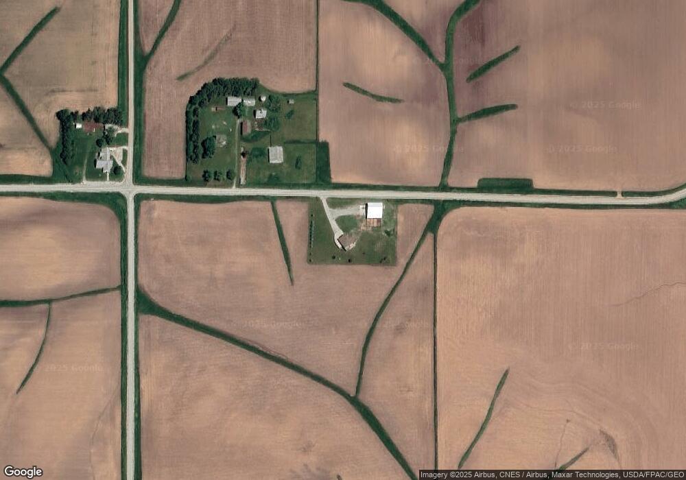
Map
Nearby Homes
- 2059 J Ave
- 2009 G Ave
- Auditors Parcel # 112503050
- 323 Roberts Ave
- 449 Western Ave
- 105 Fairlawn Ct
- 235 W Randolph St
- 835 Howard Ave
- 239 W South St
- 795 Franklyn Ave
- 202 W South St
- 897 Lafayette Ave
- 670 Eastern Ave
- 594 W Washington St
- 204 Westwood Rd
- 300 E Hilton St
- 707 Hampton Dr
- 110 Vicky Ln Unit 10
- 1004 W Welsh St
- 0 St