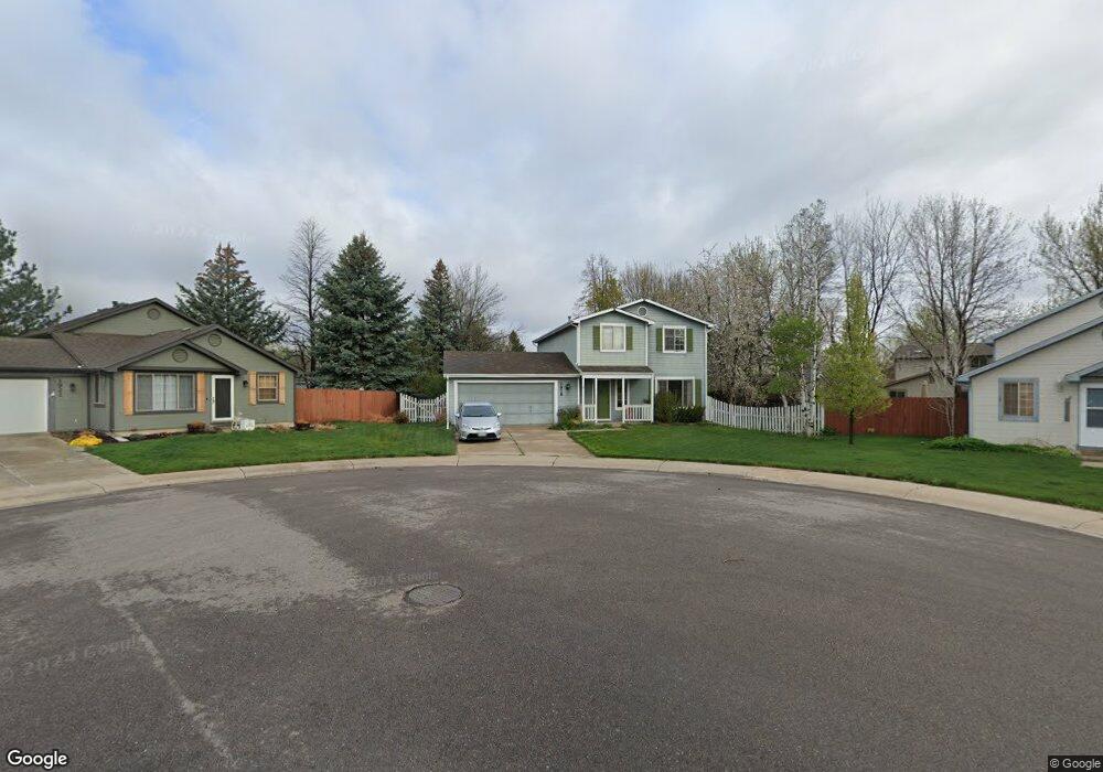
1916 Enfield Ct Fort Collins, CO 80526
Rossborough NeighborhoodEstimated Value: $563,000 - $587,000
3
Beds
3
Baths
1,944
Sq Ft
$294/Sq Ft
Est. Value
About This Home
This home is located at 1916 Enfield Ct, Fort Collins, CO 80526 and is currently estimated at $572,292, approximately $294 per square foot. 1916 Enfield Ct is a home located in Larimer County with nearby schools including Johnson Elementary School, Webber Middle School, and Rocky Mountain High School.
Ownership History
Date
Name
Owned For
Owner Type
Purchase Details
Closed on
May 31, 2000
Sold by
Rumsey Dan A and Rumsey Nancy L
Bought by
Rumsey Dan A
Current Estimated Value
Home Financials for this Owner
Home Financials are based on the most recent Mortgage that was taken out on this home.
Original Mortgage
$110,000
Interest Rate
7.81%
Purchase Details
Closed on
Aug 1, 1990
Bought by
Rumsey Dan A and Rumsey Nancy L
Create a Home Valuation Report for This Property
The Home Valuation Report is an in-depth analysis detailing your home's value as well as a comparison with similar homes in the area
Home Values in the Area
Average Home Value in this Area
Purchase History
| Date | Buyer | Sale Price | Title Company |
|---|---|---|---|
| Rumsey Dan A | -- | -- | |
| Rumsey Dan A | $86,500 | -- |
Source: Public Records
Mortgage History
| Date | Status | Borrower | Loan Amount |
|---|---|---|---|
| Closed | Rumsey Dan A | $110,000 |
Source: Public Records
Tax History Compared to Growth
Tax History
| Year | Tax Paid | Tax Assessment Tax Assessment Total Assessment is a certain percentage of the fair market value that is determined by local assessors to be the total taxable value of land and additions on the property. | Land | Improvement |
|---|---|---|---|---|
| 2025 | $2,732 | $38,860 | $2,680 | $36,180 |
| 2024 | $2,600 | $38,860 | $2,680 | $36,180 |
| 2022 | $2,749 | $29,114 | $2,780 | $26,334 |
| 2021 | $2,778 | $29,951 | $2,860 | $27,091 |
| 2020 | $2,533 | $27,077 | $2,860 | $24,217 |
| 2019 | $2,544 | $27,077 | $2,860 | $24,217 |
| 2018 | $2,060 | $22,601 | $2,880 | $19,721 |
| 2017 | $2,053 | $22,601 | $2,880 | $19,721 |
| 2016 | $1,801 | $19,725 | $3,184 | $16,541 |
| 2015 | $1,788 | $19,720 | $3,180 | $16,540 |
| 2014 | $1,606 | $17,610 | $3,180 | $14,430 |
Source: Public Records
Map
Nearby Homes
- 1819 Birmingham Dr
- 3622 Capitol Dr
- 3366 Liverpool St
- 2 County Road 19
- 1631 Enfield St
- 2025 Cheshire St
- 2219 Silver Oaks Dr
- 3502 Big Ben Dr Unit C
- 3717 S Taft Hill Rd
- 3717 S Taft Hill Rd Unit 168
- 3717 S Taft Hill Rd Unit 14
- 3717 S Taft Hill Rd Unit 279
- 3717 S Taft Hill Rd Unit 6
- 3717 S Taft Hill Rd Unit 111
- 3136 Birmingham Dr
- 1539 Corydalis Ct
- 3525 Auntie Stone St Unit 8
- 1526 Corydalis Ct
- 1538 Windcreek Ct
- 2415 Dalton Dr
- 1913 Bronson St
- 1910 Enfield Ct
- 1919 Bronson St
- 1907 Bronson St
- 3506 Kent Way
- 3512 Kent Way
- 1925 Bronson St
- 1923 Enfield Ct
- 1901 Bronson St
- 3518 Kent Way
- 1904 Enfield Ct
- 1917 Enfield Ct
- 3524 Kent Way
- 1911 Enfield Ct
- 1912 Bronson St
- 1906 Bronson St
- 1918 Bronson St
- 1926 Churchill Ct
- 2000 Kent Ct
- 1932 Churchill Ct