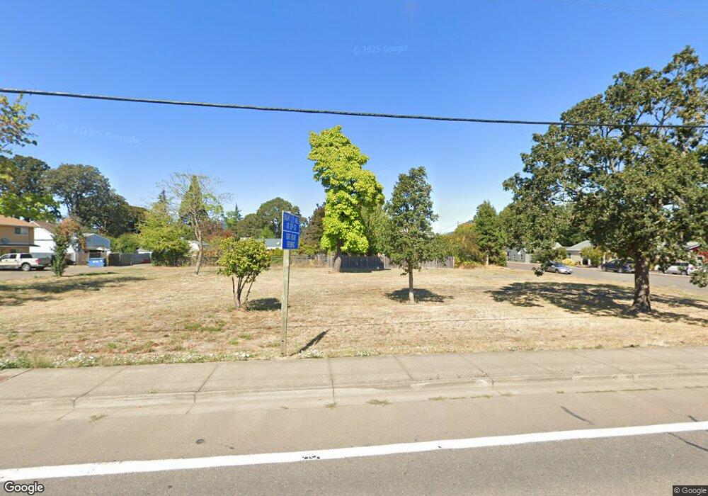
1917 Main St Philomath, OR 97370
Estimated Value: $229,000 - $365,902
3
Beds
1
Bath
1,386
Sq Ft
$215/Sq Ft
Est. Value
About This Home
This home is located at 1917 Main St, Philomath, OR 97370 and is currently estimated at $297,451, approximately $214 per square foot. 1917 Main St is a home located in Benton County with nearby schools including Clemens Primary School, Philomath Elementary School, and Philomath Middle School.
Ownership History
Date
Name
Owned For
Owner Type
Purchase Details
Closed on
Feb 28, 2023
Sold by
Soule Vincon Revocable Trust
Bought by
City Of Philomath
Current Estimated Value
Purchase Details
Closed on
Sep 26, 2021
Sold by
Soule Charles D and Secret Garden Trust
Bought by
Soule Charles D and Vincon Silvana
Purchase Details
Closed on
Jul 6, 2006
Sold by
Brokken Donna F
Bought by
State Of Oregon
Purchase Details
Closed on
May 8, 1995
Sold by
Brokken Donna F
Bought by
Brokken Donna F and Donna F Brokken Revocable Living Trust
Create a Home Valuation Report for This Property
The Home Valuation Report is an in-depth analysis detailing your home's value as well as a comparison with similar homes in the area
Home Values in the Area
Average Home Value in this Area
Purchase History
| Date | Buyer | Sale Price | Title Company |
|---|---|---|---|
| City Of Philomath | $337,500 | None Listed On Document | |
| Soule Charles D | -- | Ticor Title | |
| State Of Oregon | $7,300 | Accommodation | |
| Brokken Donna F | -- | -- |
Source: Public Records
Tax History Compared to Growth
Tax History
| Year | Tax Paid | Tax Assessment Tax Assessment Total Assessment is a certain percentage of the fair market value that is determined by local assessors to be the total taxable value of land and additions on the property. | Land | Improvement |
|---|---|---|---|---|
| 2025 | -- | $103,018 | -- | -- |
| 2024 | -- | $100,017 | -- | -- |
| 2023 | $1,976 | $97,104 | -- | -- |
| 2022 | $1,917 | $94,276 | $0 | $0 |
| 2021 | $1,862 | $91,530 | $0 | $0 |
| 2020 | $1,874 | $88,864 | $0 | $0 |
| 2019 | $1,739 | $86,276 | $0 | $0 |
| 2018 | $1,887 | $90,299 | $0 | $0 |
| 2017 | $1,843 | $87,669 | $0 | $0 |
| 2016 | $1,767 | $85,116 | $0 | $0 |
| 2015 | $1,660 | $82,637 | $0 | $0 |
| 2014 | $1,634 | $80,230 | $0 | $0 |
| 2012 | -- | $75,624 | $0 | $0 |
Source: Public Records
Map
Nearby Homes
- 135 S 21st St
- 235 S 18th St
- 240 N 19th St
- 1717 Main St
- 224 S 24th St
- 223 N 14th St
- 1502 Timothy St
- 760 S 16th St
- 345 N 11th (351) St
- 2820 Newton Place
- 2759 Newton St
- 2892 Newton Place
- 807 N 12th St
- 990 Pippa Ln
- 346 Robb Place
- 803 Main St
- 409 S 30th St
- 407 S 30th St
- 1284 N 19th St Unit 7 St
- 1284 N 19th St
- 126 N 20th St
- 1909 Main St Unit 1909 Main Street G
- 1909 Main St Unit 1915
- 1909 Main St Unit E
- 1909 Main St
- 1934 College St
- 138 N 20th St
- 125 N 19th St
- 1924 College St
- 125 N 20th St
- 111 N 20th St
- 1920 Main St
- 1914 Main St
- 1933 College St
- 2004 College St
- 1908 College St
- 2018 College St
- 115 S 19th St
- 2000 College St
- 115 S 20th St
