1917 Queens Branch Rd Rogue River, OR 97537
Estimated Value: $746,000 - $1,218,984
5
Beds
4
Baths
1,967
Sq Ft
$526/Sq Ft
Est. Value
About This Home
This home is located at 1917 Queens Branch Rd, Rogue River, OR 97537 and is currently estimated at $1,034,995, approximately $526 per square foot. 1917 Queens Branch Rd is a home located in Jackson County with nearby schools including South Valley Academy, Rogue River Elementary School, and Rogue River Junior/Senior High School.
Ownership History
Date
Name
Owned For
Owner Type
Purchase Details
Closed on
Aug 9, 2006
Sold by
Perry Harry G and Perry Dianne Lee
Bought by
Hall Mark R and Hall Brenda S
Current Estimated Value
Home Financials for this Owner
Home Financials are based on the most recent Mortgage that was taken out on this home.
Original Mortgage
$417,100
Outstanding Balance
$250,420
Interest Rate
6.76%
Mortgage Type
Purchase Money Mortgage
Estimated Equity
$784,575
Create a Home Valuation Report for This Property
The Home Valuation Report is an in-depth analysis detailing your home's value as well as a comparison with similar homes in the area
Home Values in the Area
Average Home Value in this Area
Purchase History
| Date | Buyer | Sale Price | Title Company |
|---|---|---|---|
| Hall Mark R | $685,000 | First American |
Source: Public Records
Mortgage History
| Date | Status | Borrower | Loan Amount |
|---|---|---|---|
| Open | Hall Mark R | $417,100 |
Source: Public Records
Tax History Compared to Growth
Tax History
| Year | Tax Paid | Tax Assessment Tax Assessment Total Assessment is a certain percentage of the fair market value that is determined by local assessors to be the total taxable value of land and additions on the property. | Land | Improvement |
|---|---|---|---|---|
| 2025 | $6,654 | $673,192 | $96,652 | $576,540 |
| 2024 | $6,654 | $653,592 | $132,182 | $521,410 |
| 2023 | $6,433 | $634,562 | $128,322 | $506,240 |
| 2022 | $6,285 | $634,562 | $128,322 | $506,240 |
| 2021 | $5,645 | $570,153 | $124,593 | $445,560 |
| 2020 | $5,506 | $553,555 | $120,975 | $432,580 |
| 2019 | $5,099 | $495,520 | $114,040 | $381,480 |
| 2018 | $4,965 | $392,543 | $110,753 | $281,790 |
| 2017 | $3,966 | $392,543 | $110,753 | $281,790 |
| 2016 | $3,864 | $370,020 | $104,400 | $265,620 |
| 2015 | $3,778 | $373,650 | $98,480 | $275,170 |
| 2014 | $3,650 | $352,210 | $92,820 | $259,390 |
Source: Public Records
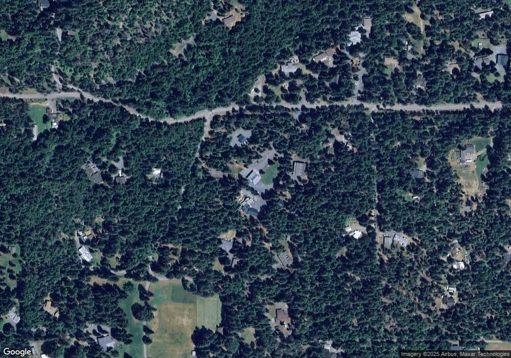
Map
Nearby Homes
- 7435 W Evans Creek Rd
- 7310 W Evans Creek Rd
- 7118 Redthorne Rd
- 8797 W Evans Creek Rd
- 835 Minthorne Rd
- 9184 W Evans Creek Rd
- 1205 Pine Grove Rd
- 255 Queens Branch Rd
- 1105 Pine Grove Rd
- 149 Queens Branch Rd
- 1475 Pleasant Creek Rd
- 6324 E Evans Creek Rd
- 643 Covered Bridge Rd
- 5406 E Evans Creek Rd
- 8951 E Evans Creek Rd Unit 14
- 798 Covered Bridge Rd
- 256 Deruyte Way
- 257 Deruyte Way
- 254 Deruyte Way
- 252 Deruyte Way
- 2032 Queens Branch Rd
- 2085 Queens Branch Rd
- 1867 Queens Branch Rd
- 1835 Queens Branch Rd
- 2025 Queens Branch Rd
- 1848 Queens Branch Rd
- 2101 Queens Branch Rd
- 1825 Queens Branch Rd
- 1765 Queens Branch Rd
- 1846 Queens Branch Rd
- 2031 Queens Branch Rd
- 1633 Queens Branch Rd
- 1844 Queens Branch Rd
- 1810 Queens Branch Rd
- 2213 Queens Branch Rd
- 1790 Queens Branch Rd
- 2021 Queens Branch Rd
- 1695 Queens Branch Rd
- 1740 Queens Branch Rd