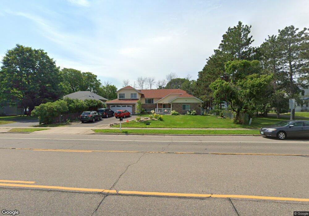
1918 County Road E E Saint Paul, MN 55110
Estimated Value: $367,000 - $514,000
4
Beds
3
Baths
2,817
Sq Ft
$160/Sq Ft
Est. Value
About This Home
This home is located at 1918 County Road E E, Saint Paul, MN 55110 and is currently estimated at $451,411, approximately $160 per square foot. 1918 County Road E E is a home located in Ramsey County with nearby schools including Willow Lane Elementary School, Sunrise Park Middle School, and Liberty Classical Academy.
Ownership History
Date
Name
Owned For
Owner Type
Purchase Details
Closed on
Apr 8, 1997
Sold by
Meyers Eugene and Meyers Mary
Bought by
Mwassa Paul M and Mwassa Joy M
Current Estimated Value
Create a Home Valuation Report for This Property
The Home Valuation Report is an in-depth analysis detailing your home's value as well as a comparison with similar homes in the area
Home Values in the Area
Average Home Value in this Area
Purchase History
| Date | Buyer | Sale Price | Title Company |
|---|---|---|---|
| Mwassa Paul M | $91,500 | -- | |
| Mwassa Paul M | $91,500 | -- | |
| Meyers Eugene | $16,642 | -- |
Source: Public Records
Mortgage History
| Date | Status | Borrower | Loan Amount |
|---|---|---|---|
| Closed | Mwassa Paul M | -- |
Source: Public Records
Tax History
| Year | Tax Paid | Tax Assessment Tax Assessment Total Assessment is a certain percentage of the fair market value that is determined by local assessors to be the total taxable value of land and additions on the property. | Land | Improvement |
|---|---|---|---|---|
| 2025 | $8,418 | $446,300 | $78,100 | $368,200 |
| 2023 | $8,418 | $415,100 | $78,100 | $337,000 |
| 2022 | $7,602 | $402,300 | $78,100 | $324,200 |
| 2021 | $7,704 | $360,100 | $78,100 | $282,000 |
| 2020 | $7,052 | $371,800 | $78,100 | $293,700 |
| 2019 | $6,558 | $336,400 | $78,100 | $258,300 |
| 2018 | $7,068 | $323,100 | $78,100 | $245,000 |
| 2017 | $6,546 | $326,300 | $78,100 | $248,200 |
| 2016 | $5,978 | $0 | $0 | $0 |
| 2015 | $6,142 | $298,300 | $73,400 | $224,900 |
| 2014 | $5,752 | $0 | $0 | $0 |
Source: Public Records
Map
Nearby Homes
- 3584 Midland Ave
- 3675 White Bear Ave N
- 1807 1/2 County Road E E Unit 34
- 3474 White Bear Ave N
- 3701 Linden Place
- 1778 Linden Cove
- 1787 Cheri Ct
- 1782 Cedar Cove
- 3834 Linden Ave
- 2041 Orchard Ln
- 1893 Roth St
- 3920 White Bear Ave N
- 3512 Mcknight Rd N
- 1943 Oak Knoll Dr
- 3407 Emerald Dr
- 3084 Chisholm Ct N
- 1613 County Road D E Unit L
- 2174 County Road F E
- 1579 County Road D E Unit K
- 3504 Oak Terrace
- 1928 County Road E E
- 1908 & 191 County Rd E
- 1908 & 1910 County Rd E
- 1908 County Road E E
- 3585 Dell Ct N
- 1938 County Road E E
- 3568 Highland Ave
- 3590 Dell Ct N
- 1946 County Road E E
- 3575 Dell Ct N
- 1925 County Rd E Unit 1
- 1917 County Road E E
- 1892 County Road E E
- 1925 County Road E E
- 3562 Highland Ave
- 1937 County Road E E
- 1950 County Road E E
- 3571 Highland Ave
- 3565 Dell Ct N
- 1884 County Road E E
Your Personal Tour Guide
Ask me questions while you tour the home.