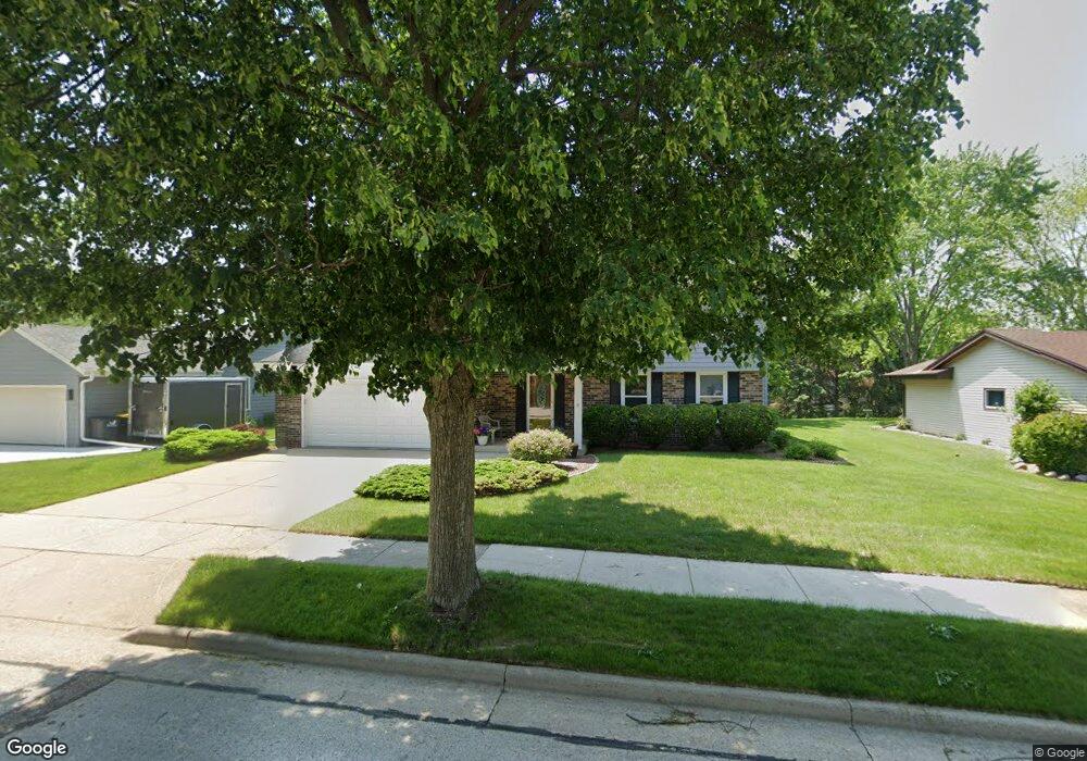
1918 Harvest Ln Waukesha, WI 53186
Estimated Value: $386,827 - $422,000
3
Beds
2
Baths
1,788
Sq Ft
$227/Sq Ft
Est. Value
About This Home
This home is located at 1918 Harvest Ln, Waukesha, WI 53186 and is currently estimated at $405,457, approximately $226 per square foot. 1918 Harvest Ln is a home located in Waukesha County with nearby schools including John F. Miller School, Banting Elementary School, and Horning Middle School.
Ownership History
Date
Name
Owned For
Owner Type
Purchase Details
Closed on
Jan 27, 1998
Sold by
Francis Ronald D and Francis Naomi J
Bought by
Wimmer Steven C and Wimmer Debra A
Current Estimated Value
Home Financials for this Owner
Home Financials are based on the most recent Mortgage that was taken out on this home.
Original Mortgage
$144,000
Outstanding Balance
$25,764
Interest Rate
7.12%
Estimated Equity
$379,693
Create a Home Valuation Report for This Property
The Home Valuation Report is an in-depth analysis detailing your home's value as well as a comparison with similar homes in the area
Home Values in the Area
Average Home Value in this Area
Purchase History
| Date | Buyer | Sale Price | Title Company |
|---|---|---|---|
| Wimmer Steven C | $148,500 | -- |
Source: Public Records
Mortgage History
| Date | Status | Borrower | Loan Amount |
|---|---|---|---|
| Open | Wimmer Steven C | $144,000 |
Source: Public Records
Tax History Compared to Growth
Tax History
| Year | Tax Paid | Tax Assessment Tax Assessment Total Assessment is a certain percentage of the fair market value that is determined by local assessors to be the total taxable value of land and additions on the property. | Land | Improvement |
|---|---|---|---|---|
| 2024 | $4,084 | $281,100 | $77,600 | $203,500 |
| 2023 | $4,017 | $281,100 | $77,600 | $203,500 |
| 2022 | $4,764 | $248,200 | $73,700 | $174,500 |
| 2021 | $4,877 | $248,200 | $73,700 | $174,500 |
| 2020 | $4,711 | $248,200 | $73,700 | $174,500 |
| 2019 | $4,565 | $248,200 | $73,700 | $174,500 |
| 2018 | $4,311 | $229,800 | $66,000 | $163,800 |
| 2017 | $4,297 | $229,800 | $66,000 | $163,800 |
| 2016 | $4,281 | $214,800 | $58,200 | $156,600 |
| 2015 | $4,255 | $214,800 | $58,200 | $156,600 |
| 2014 | $4,177 | $202,600 | $58,200 | $144,400 |
| 2013 | $4,177 | $202,600 | $58,200 | $144,400 |
Source: Public Records
Map
Nearby Homes
- 1729 Stardust Dr Unit B
- 2109 Melody Ln
- 1415 Niagara St Unit 109
- 1333 Niagara St
- 1112 Gertrude St
- 1116 Josephine St
- 1308 Danny St
- 1471 Cleveland Ave
- 918 Niagara St
- 937 E Moreland Blvd
- 1542 Whiterock Ave
- 21525 Belgren Rd
- 925 Harding Ave
- 335 Kossow Rd
- S17W22650 Lincoln Ave
- 2423 Kossow Rd
- 1021 Arcadian Ave
- 1021 Aurora St
- 1522 Pewaukee Rd
- 1139 White Rock Ave
- 1914 Harvest Ln
- 1922 Harvest Ln
- 1910 Harvest Ln
- 1926 Harvest Ln
- 1919 Harvest Ln
- 1915 Harvest Ln
- 1923 Harvest Ln
- 1906 Harvest Ln
- 1911 Harvest Ln
- 1927 Harvest Ln
- 1709 Robin Ct
- 1930 Harvest Ln
- 1712 Robin Ct
- 1708 Robin Ct
- 1704 Robin Ct
- 1705 Robin Ct
- 1907 Harvest Ln
- 1931 Harvest Ln
- 1621 Butler Dr
- 1918 Rustic Way