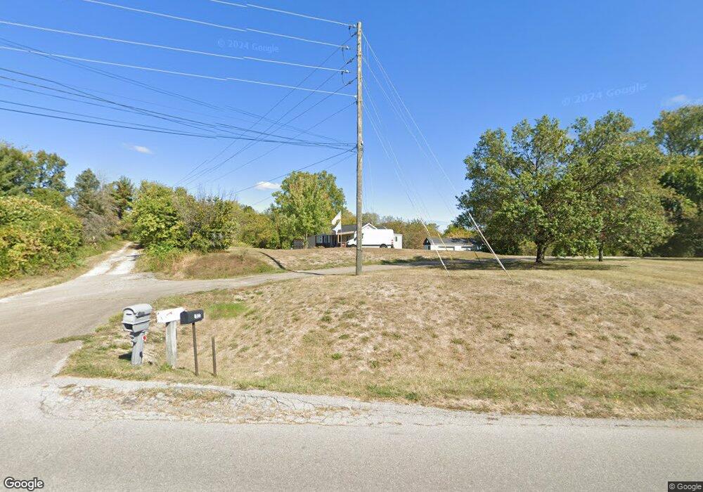
1918 Independence Rd Independence, KY 41051
Estimated Value: $128,000 - $202,000
4
Beds
1
Bath
845
Sq Ft
$185/Sq Ft
Est. Value
About This Home
This home is located at 1918 Independence Rd, Independence, KY 41051 and is currently estimated at $156,568, approximately $185 per square foot. 1918 Independence Rd is a home located in Kenton County with nearby schools including Kenton Elementary School, Twenhofel Middle School, and Simon Kenton High School.
Ownership History
Date
Name
Owned For
Owner Type
Purchase Details
Closed on
Jan 6, 2022
Sold by
Dean Caudill
Bought by
Walsh Jeffrey G and Caudill-Walsh Lynne
Current Estimated Value
Purchase Details
Closed on
May 11, 2007
Sold by
Morris James and Morris Karen
Bought by
Caudill A C and Caudill Dean
Purchase Details
Closed on
Apr 10, 2006
Sold by
Coots Norma Virginia Folmer
Bought by
Morris James and Morris Karen
Create a Home Valuation Report for This Property
The Home Valuation Report is an in-depth analysis detailing your home's value as well as a comparison with similar homes in the area
Home Values in the Area
Average Home Value in this Area
Purchase History
| Date | Buyer | Sale Price | Title Company |
|---|---|---|---|
| Walsh Jeffrey G | $90,000 | Ziegler & Schneider Psc | |
| Caudill A C | $82,680 | Kentucky Land Title Agency I | |
| Morris James | -- | Kentucky Land Title Agency |
Source: Public Records
Tax History Compared to Growth
Tax History
| Year | Tax Paid | Tax Assessment Tax Assessment Total Assessment is a certain percentage of the fair market value that is determined by local assessors to be the total taxable value of land and additions on the property. | Land | Improvement |
|---|---|---|---|---|
| 2025 | $1,949 | $167,600 | $50,000 | $117,600 |
| 2024 | $1,191 | $97,200 | $35,000 | $62,200 |
| 2023 | $1,227 | $97,200 | $35,000 | $62,200 |
| 2022 | $1,294 | $97,200 | $35,000 | $62,200 |
| 2021 | $1,313 | $97,200 | $35,000 | $62,200 |
| 2020 | $1,152 | $82,800 | $35,000 | $47,800 |
| 2019 | $1,155 | $82,800 | $35,000 | $47,800 |
| 2018 | $1,161 | $82,800 | $35,000 | $47,800 |
| 2017 | $1,131 | $82,800 | $35,000 | $47,800 |
| 2015 | $1,091 | $82,800 | $30,200 | $52,600 |
| 2014 | $1,076 | $82,800 | $30,200 | $52,600 |
Source: Public Records
Map
Nearby Homes
- 5267 Pioneer Dr
- 1804 Cypress Way
- 5186 Christopher Dr
- 10434 Sharpsburg Dr
- 10737 Cypresswood Dr
- 10383 Lynchburg Dr
- 89 Bradley Dr
- 5217 Belle Dr
- 72 Sherwood Dr
- 5086 Woodale Ct
- 64 Sylvan Dr
- 109 Sylvan Dr
- 10741 Lakefront Cir
- 10323 Manassas Ct
- 9947 Meadow Glen Dr
- 1365 Cairns Ct
- 10363 Canberra Dr
- Cumberland Plan at Greenbrook - Maple Street Collection
- Wesley Plan at Greenbrook - Maple Street Collection
- Breckenridge Plan at Greenbrook - Maple Street Collection
- 1922 Independence Rd
- 1926 Independence Rd
- 1926 Independence Rd Unit 24
- 1915 Independence Rd
- 1906 Independence Rd
- 1919 Independence R
- 1919 Independence Rd
- 1911 Independence Rd
- 1904 Independence Rd
- 1930 Independence R
- 1930 Independence Rd
- 8982 Supreme Ct Unit 84
- 1923 Independence Rd
- 1907 Independence Rd
- 1927 Independence Rd
- 1934 Independence R
- 1934 Independence Rd
- 8978 Supreme Ct Unit 80
- 1888 Appeals Ct
- 1892 Appeals Ct