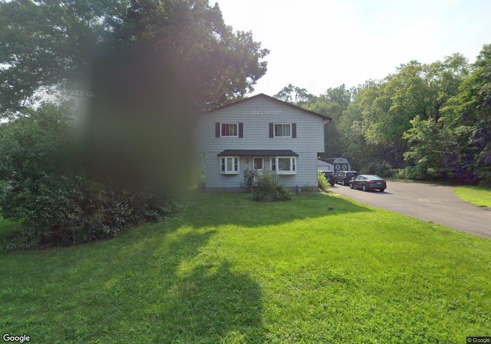
1918 Kennard St Saint Paul, MN 55109
Gladstone NeighborhoodEstimated Value: $445,000 - $479,000
6
Beds
4
Baths
2,966
Sq Ft
$156/Sq Ft
Est. Value
About This Home
This home is located at 1918 Kennard St, Saint Paul, MN 55109 and is currently estimated at $463,664, approximately $156 per square foot. 1918 Kennard St is a home located in Ramsey County with nearby schools including Weaver Elementary School, John Glenn Middle School, and Mounds Park Academy.
Ownership History
Date
Name
Owned For
Owner Type
Purchase Details
Closed on
Aug 16, 2021
Sold by
Vang David and Vang Maiton
Bought by
Khadira Nuuraqdin and Haji Marian
Current Estimated Value
Home Financials for this Owner
Home Financials are based on the most recent Mortgage that was taken out on this home.
Original Mortgage
$215,900
Outstanding Balance
$195,725
Interest Rate
2.7%
Mortgage Type
New Conventional
Estimated Equity
$267,939
Purchase Details
Closed on
Nov 4, 2011
Sold by
Blees Daniel L
Bought by
Gauster John L and Landro Warren B
Home Financials for this Owner
Home Financials are based on the most recent Mortgage that was taken out on this home.
Original Mortgage
$167,420
Interest Rate
8%
Mortgage Type
Land Contract Argmt. Of Sale
Create a Home Valuation Report for This Property
The Home Valuation Report is an in-depth analysis detailing your home's value as well as a comparison with similar homes in the area
Home Values in the Area
Average Home Value in this Area
Purchase History
| Date | Buyer | Sale Price | Title Company |
|---|---|---|---|
| Khadira Nuuraqdin | $415,900 | Arden Title Llc | |
| Gauster John L | $167,421 | -- | |
| Khadiro Nuuradin Nuuradin | $415,900 | -- |
Source: Public Records
Mortgage History
| Date | Status | Borrower | Loan Amount |
|---|---|---|---|
| Open | Khadira Nuuraqdin | $215,900 | |
| Previous Owner | Gauster John L | $167,420 | |
| Closed | Khadiro Nuuradin Nuuradin | $328,343 |
Source: Public Records
Tax History Compared to Growth
Tax History
| Year | Tax Paid | Tax Assessment Tax Assessment Total Assessment is a certain percentage of the fair market value that is determined by local assessors to be the total taxable value of land and additions on the property. | Land | Improvement |
|---|---|---|---|---|
| 2025 | $6,490 | $450,400 | $84,800 | $365,600 |
| 2023 | $6,490 | $454,600 | $84,800 | $369,800 |
| 2022 | $4,018 | $410,000 | $84,800 | $325,200 |
| 2021 | $4,064 | $277,900 | $84,800 | $193,100 |
| 2020 | $4,274 | $286,200 | $84,800 | $201,400 |
| 2019 | $3,608 | $280,800 | $84,800 | $196,000 |
| 2018 | $3,334 | $244,900 | $84,800 | $160,100 |
| 2017 | $3,608 | $223,000 | $84,800 | $138,200 |
| 2016 | $3,412 | $0 | $0 | $0 |
| 2015 | $3,522 | $218,300 | $77,800 | $140,500 |
| 2014 | $3,262 | $0 | $0 | $0 |
Source: Public Records
Map
Nearby Homes
- 1849 Kennard St
- 1937 Flandrau St
- 1856 Flandrau St
- 1984 Prosperity Rd
- 1940 Barclay St
- 1854 Barclay St
- 1743 White Bear Ave N
- 1627 Christie Place
- 1869 Birmingham St
- 1740 California Ave E
- 1435 Price Ave
- 1637 Iowa Ave E
- 1666 Laurie Rd E
- 1694 Laurie Rd E
- 1672 Manton St
- 2182 Van Dyke St
- 1509 Sandhurst Ave E
- 1467 County Road B E
- 1279 Ripley Ave
- 1840 Iowa Ave E
- 1928 Kennard St
- 1896 Kennard St
- 1892 Kennard St
- 1684 Frost Ave
- 1888 Kennard St
- 1893 Kennard St
- 1690 Frost Ave
- 1885 Kennard St
- 1638 Frost Ave
- 1884 Kennard St
- 1653 Frost Ave
- 1936 Kennard St
- 1879 Kennard St
- 1645 Frost Ave
- 1923 Flandrau St
- 1919 Flandrau St
- 1904 Maryknoll Ave
- 1904 Maryknoll Ave N
- 1944 Kennard St
- 1878 Kennard St