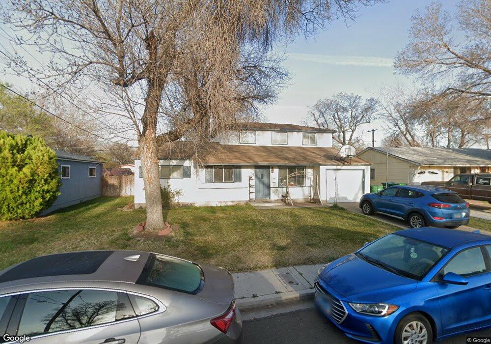
1919 3rd St Sparks, NV 89431
McCarran Boulevard-Probasco NeighborhoodEstimated Value: $405,373 - $518,000
5
Beds
2
Baths
1,608
Sq Ft
$279/Sq Ft
Est. Value
About This Home
This home is located at 1919 3rd St, Sparks, NV 89431 and is currently estimated at $449,093, approximately $279 per square foot. 1919 3rd St is a home located in Washoe County with nearby schools including Greenbrae Elementary School, George L Dilworth Middle School, and Sparks High School.
Ownership History
Date
Name
Owned For
Owner Type
Purchase Details
Closed on
May 2, 2024
Sold by
Olsen Jeffery W and Olsen Sylvia L
Bought by
Olsen Family Trust and Olsen
Current Estimated Value
Create a Home Valuation Report for This Property
The Home Valuation Report is an in-depth analysis detailing your home's value as well as a comparison with similar homes in the area
Home Values in the Area
Average Home Value in this Area
Purchase History
| Date | Buyer | Sale Price | Title Company |
|---|---|---|---|
| Olsen Family Trust | -- | None Listed On Document |
Source: Public Records
Tax History
| Year | Tax Paid | Tax Assessment Tax Assessment Total Assessment is a certain percentage of the fair market value that is determined by local assessors to be the total taxable value of land and additions on the property. | Land | Improvement |
|---|---|---|---|---|
| 2026 | $694 | $54,866 | $34,090 | $20,776 |
| 2025 | $906 | $54,162 | $33,565 | $20,597 |
| 2024 | $906 | $50,278 | $30,065 | $20,213 |
| 2023 | $881 | $49,992 | $31,325 | $18,667 |
| 2022 | $856 | $41,409 | $26,180 | $15,229 |
| 2021 | $832 | $32,735 | $17,955 | $14,780 |
| 2020 | $805 | $31,490 | $16,940 | $14,550 |
| 2019 | $781 | $29,666 | $15,890 | $13,776 |
| 2018 | $760 | $24,917 | $11,725 | $13,192 |
| 2017 | $740 | $23,404 | $10,395 | $13,009 |
| 2016 | $724 | $23,129 | $9,345 | $13,784 |
| 2015 | $724 | $21,940 | $7,700 | $14,240 |
| 2014 | $703 | $20,426 | $6,440 | $13,986 |
| 2013 | -- | $18,521 | $4,270 | $14,251 |
Source: Public Records
Map
Nearby Homes
- 1907 3rd St
- 1959 3rd St
- 2007 3rd St
- 1901 3rd St
- 1920 3rd St
- 1906 3rd St
- 1960 3rd St
- 2031 3rd St
- 2008 3rd St
- 1940 4th Street #34 Unit 34
- 291 Quail St
- 1940 4th Street #25 Unit 25
- 1940 4th Street #40 Unit 40
- 1940 4th St Unit 53
- 1940 4th St Unit 14
- 1940 4th St Unit 2
- 1940 4th St Unit 45
- 1940 4th St Unit 13
- 1940 4th St Unit 43
- 1940 4th St Unit 24
Your Personal Tour Guide
Ask me questions while you tour the home.