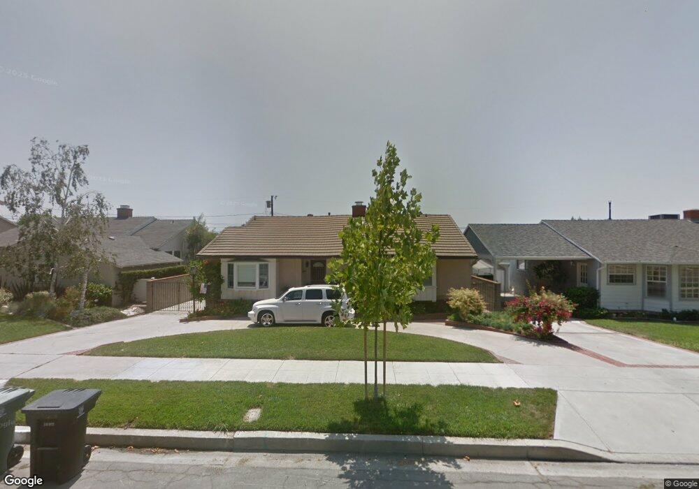
1919 Amber Ln Burbank, CA 91504
Hillside District NeighborhoodEstimated Value: $1,413,419 - $1,720,000
3
Beds
2
Baths
1,993
Sq Ft
$786/Sq Ft
Est. Value
About This Home
This home is located at 1919 Amber Ln, Burbank, CA 91504 and is currently estimated at $1,567,355, approximately $786 per square foot. 1919 Amber Ln is a home located in Los Angeles County with nearby schools including Thomas Jefferson Elementary School, John Muir Middle School, and Burbank High School.
Ownership History
Date
Name
Owned For
Owner Type
Purchase Details
Closed on
Nov 6, 2025
Sold by
Brooks Ann E and Brooks Family Trust
Bought by
Ann E Brooks Trust and Brooks
Current Estimated Value
Purchase Details
Closed on
May 26, 2017
Sold by
Spero Jean Corol
Bought by
Spero Jean C and Jean Carol Spero Trust
Purchase Details
Closed on
Mar 27, 2002
Sold by
Brooks Ann E
Bought by
Brooks Ann E and Brooks Family Trust
Purchase Details
Closed on
Oct 23, 2001
Sold by
Spero Jean C
Bought by
Spero Jean C and The Jean C Spero Living Trust
Purchase Details
Closed on
Jun 8, 1994
Sold by
Slater David Lee
Bought by
Spero Jean and Brooks Ann E
Home Financials for this Owner
Home Financials are based on the most recent Mortgage that was taken out on this home.
Original Mortgage
$225,600
Interest Rate
3.75%
Create a Home Valuation Report for This Property
The Home Valuation Report is an in-depth analysis detailing your home's value as well as a comparison with similar homes in the area
Home Values in the Area
Average Home Value in this Area
Purchase History
| Date | Buyer | Sale Price | Title Company |
|---|---|---|---|
| Ann E Brooks Trust | -- | None Listed On Document | |
| Spero Jean C | -- | None Available | |
| Brooks Ann E | -- | -- | |
| Spero Jean C | -- | -- | |
| Spero Jean | $282,000 | United Title Co |
Source: Public Records
Mortgage History
| Date | Status | Borrower | Loan Amount |
|---|---|---|---|
| Previous Owner | Spero Jean | $225,600 |
Source: Public Records
Tax History
| Year | Tax Paid | Tax Assessment Tax Assessment Total Assessment is a certain percentage of the fair market value that is determined by local assessors to be the total taxable value of land and additions on the property. | Land | Improvement |
|---|---|---|---|---|
| 2025 | $5,784 | $497,218 | $284,865 | $212,353 |
| 2024 | $5,605 | $487,470 | $279,280 | $208,190 |
| 2023 | $5,547 | $477,912 | $273,804 | $204,108 |
| 2022 | $5,299 | $468,542 | $268,436 | $200,106 |
| 2021 | $5,270 | $459,356 | $263,173 | $196,183 |
| 2020 | $5,211 | $454,647 | $260,475 | $194,172 |
| 2019 | $5,060 | $445,733 | $255,368 | $190,365 |
| 2018 | $4,909 | $436,994 | $250,361 | $186,633 |
| 2016 | $4,646 | $420,027 | $240,640 | $179,387 |
| 2015 | $4,552 | $413,719 | $237,026 | $176,693 |
| 2014 | $4,543 | $405,615 | $232,383 | $173,232 |
Source: Public Records
Map
Nearby Homes
- 1819 Richard St
- 2031 Jolley Dr
- 505 Cambridge Dr
- 441 Dartmouth Rd
- 2615 Woodstock Ln
- 1814 Grismer Ave
- 2748 Mansfield Dr
- 2528 N Orchard Dr
- 1608 Grismer Ave
- 2316 N Parish Place
- 902 E Walnut Ave
- 718 E Walnut Ave
- 1515 Grismer Ave Unit 102
- 1515 Grismer Ave Unit 302
- 2014 Peyton Ave
- 1719 Landis St
- 2324 Harold Cir
- 2227 N Lamer St
- 230 Bethany Rd Unit 124
- 1924 N Parish Place
- 1913 Amber Ln
- 1925 Amber Ln
- 1918 N Kenneth Rd
- 1907 Amber Ln
- 1912 N Kenneth Rd
- 1924 N Kenneth Rd Unit 2
- 1931 Amber Ln
- 1906 N Kenneth Rd
- 1918 Amber Ln
- 1901 Amber Ln
- 1930 N Kenneth Rd
- 1912 Amber Ln
- 1924 Amber Ln
- 1900 N Kenneth Rd
- 1930 Amber Ln
- 1831 Amber Ln
- 1900 Amber Ln
- 1830 N Kenneth Rd
- 2001 Amber Ln
- 1919 Hilton Dr
Your Personal Tour Guide
Ask me questions while you tour the home.