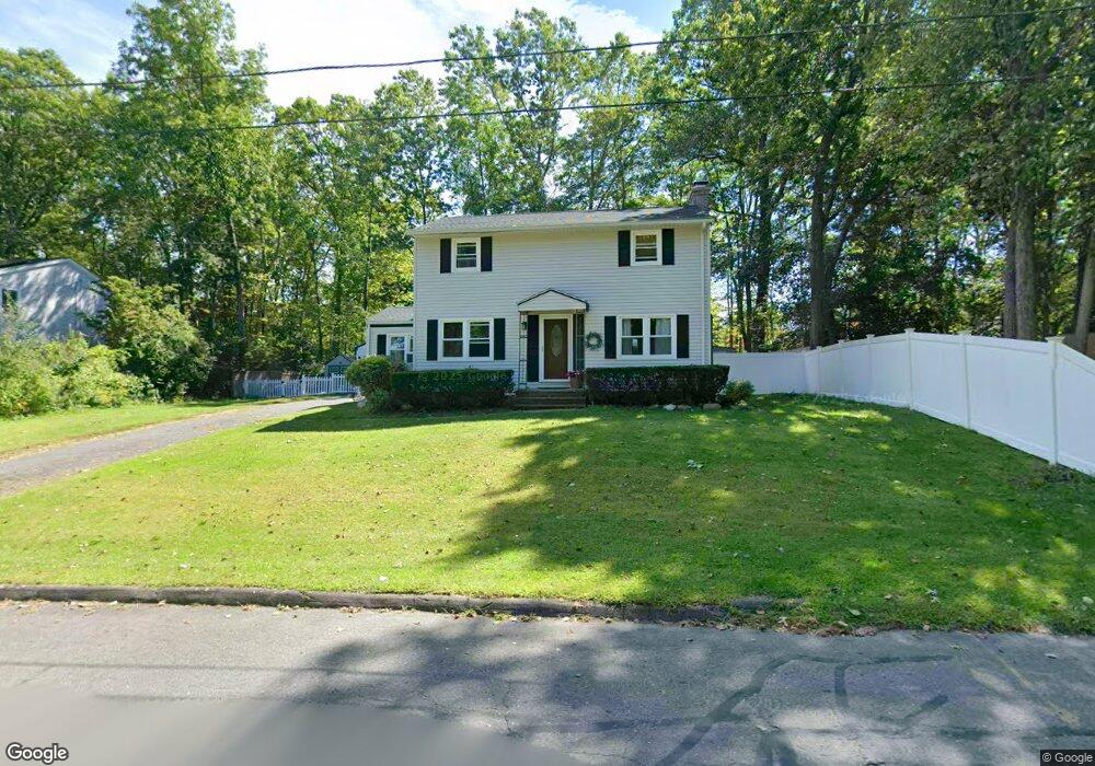
192 Acrebrook Dr Florence, MA 01062
Florence NeighborhoodEstimated Value: $398,000 - $516,000
3
Beds
2
Baths
1,664
Sq Ft
$274/Sq Ft
Est. Value
About This Home
This home is located at 192 Acrebrook Dr, Florence, MA 01062 and is currently estimated at $455,970, approximately $274 per square foot. 192 Acrebrook Dr is a home located in Hampshire County with nearby schools including Northampton High School and Lander Grinspoon Academy.
Ownership History
Date
Name
Owned For
Owner Type
Purchase Details
Closed on
Dec 19, 2005
Sold by
Kistenmacher Peter F and Kistenmacher Laura E
Bought by
Brown Derek and Brown Colleen R
Current Estimated Value
Home Financials for this Owner
Home Financials are based on the most recent Mortgage that was taken out on this home.
Original Mortgage
$201,600
Interest Rate
6.34%
Mortgage Type
Purchase Money Mortgage
Purchase Details
Closed on
Apr 25, 1988
Sold by
Kiley John D
Bought by
Kistenmacher Peter T
Create a Home Valuation Report for This Property
The Home Valuation Report is an in-depth analysis detailing your home's value as well as a comparison with similar homes in the area
Home Values in the Area
Average Home Value in this Area
Purchase History
| Date | Buyer | Sale Price | Title Company |
|---|---|---|---|
| Brown Derek | $252,000 | -- | |
| Kistenmacher Peter T | $125,000 | -- |
Source: Public Records
Mortgage History
| Date | Status | Borrower | Loan Amount |
|---|---|---|---|
| Open | Kistenmacher Peter T | $226,000 | |
| Closed | Brown Derek | $201,600 | |
| Previous Owner | Kistenmacher Peter T | $10,000 | |
| Previous Owner | Kistenmacher Peter T | $95,900 |
Source: Public Records
Tax History Compared to Growth
Tax History
| Year | Tax Paid | Tax Assessment Tax Assessment Total Assessment is a certain percentage of the fair market value that is determined by local assessors to be the total taxable value of land and additions on the property. | Land | Improvement |
|---|---|---|---|---|
| 2025 | $5,320 | $381,900 | $121,000 | $260,900 |
| 2024 | $5,280 | $347,600 | $121,000 | $226,600 |
| 2023 | $3,916 | $247,200 | $110,000 | $137,200 |
| 2022 | $4,256 | $237,900 | $110,000 | $127,900 |
| 2021 | $4,105 | $236,300 | $105,000 | $131,300 |
| 2020 | $3,970 | $236,300 | $105,000 | $131,300 |
| 2019 | $3,688 | $212,300 | $90,000 | $122,300 |
| 2018 | $3,384 | $198,600 | $90,000 | $108,600 |
| 2017 | $3,315 | $198,600 | $90,000 | $108,600 |
| 2016 | $3,209 | $198,600 | $90,000 | $108,600 |
| 2015 | $3,340 | $211,400 | $90,000 | $121,400 |
| 2014 | $3,253 | $211,400 | $90,000 | $121,400 |
Source: Public Records
Map
Nearby Homes
- 138 Overlook Dr
- 447 Ryan Rd
- 8 Tara Cir
- 815 Burts Pit Rd
- 39 Matthew Dr
- 269 Ryan Rd
- 634 Burts Pit Rd
- 100 Emerson Way
- 137 Emerson Way
- 167 Emerson Way
- 133 Cardinal Way
- 383 Westhampton Rd
- 7 Pine Valley Rd
- 48 Dunphy Dr
- 225 Nonotuck St Unit C
- 325 Riverside Dr
- 321 Riverside Dr
- 37 Landy Ave
- 36 Landy Ave
- 95 Autumn Dr
- 184 Acrebrook Dr
- 204 Acrebrook Dr
- 126 Overlook Dr
- 118 Overlook Dr
- 113 Brierwood Dr
- 176 Acrebrook Dr
- 114 Brierwood Dr
- 118 Austin Cir
- 212 Acrebrook Dr
- 105 Brierwood Dr
- 110 Overlook Dr
- 106 Brierwood Dr
- 43 Beattie Dr
- 168 Acrebrook Dr
- 391 Brookside Cir
- 127 Overlook Dr
- 110 Austin Cir
- 211 Acrebrook Dr
- 35 Beattie Dr
- 148 Overlook Dr