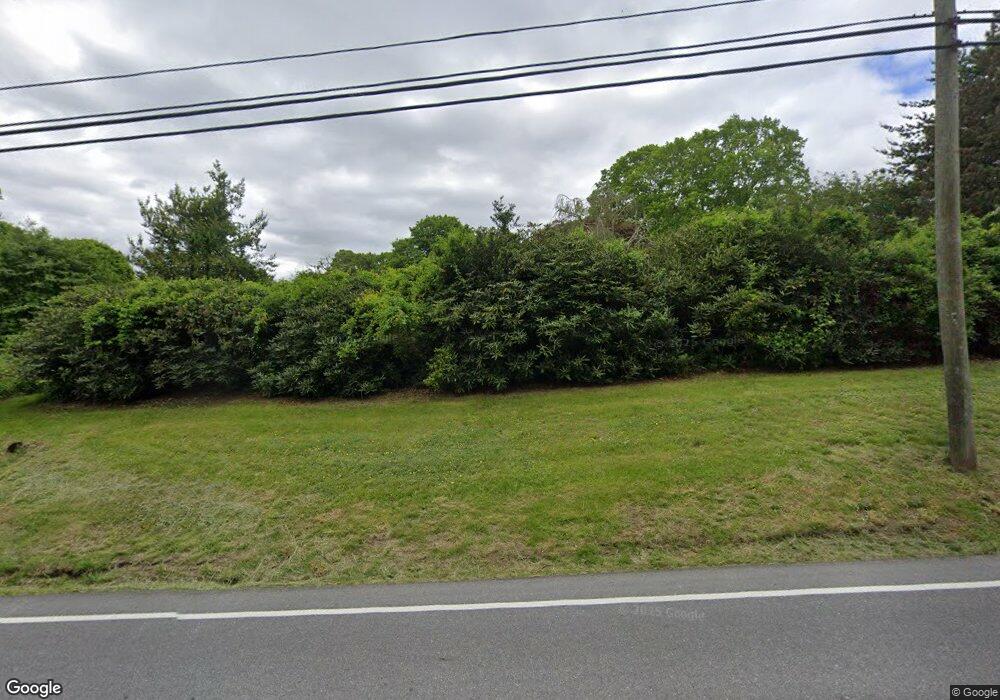
192 Route 165 Preston, CT 06365
Estimated Value: $450,000 - $540,000
3
Beds
4
Baths
2,228
Sq Ft
$224/Sq Ft
Est. Value
About This Home
This home is located at 192 Route 165, Preston, CT 06365 and is currently estimated at $499,111, approximately $224 per square foot. 192 Route 165 is a home located in New London County with nearby schools including Integrated Day Charter School, St. Joseph School, and St. Patrick Cathedral School.
Create a Home Valuation Report for This Property
The Home Valuation Report is an in-depth analysis detailing your home's value as well as a comparison with similar homes in the area
Home Values in the Area
Average Home Value in this Area
Tax History Compared to Growth
Tax History
| Year | Tax Paid | Tax Assessment Tax Assessment Total Assessment is a certain percentage of the fair market value that is determined by local assessors to be the total taxable value of land and additions on the property. | Land | Improvement |
|---|---|---|---|---|
| 2024 | $5,133 | $219,660 | $55,230 | $164,430 |
| 2023 | $5,041 | $219,660 | $55,230 | $164,430 |
| 2022 | $4,408 | $158,100 | $45,700 | $112,400 |
| 2021 | $4,259 | $158,100 | $45,700 | $112,400 |
| 2020 | $4,253 | $158,100 | $45,700 | $112,400 |
| 2019 | $4,179 | $158,100 | $45,700 | $112,400 |
| 2018 | $4,115 | $158,100 | $45,700 | $112,400 |
| 2017 | $4,034 | $168,100 | $47,100 | $121,000 |
| 2016 | $3,992 | $168,100 | $47,100 | $121,000 |
| 2015 | $3,866 | $168,100 | $47,100 | $121,000 |
| 2014 | $3,890 | $168,100 | $47,100 | $121,000 |
Source: Public Records
Map
Nearby Homes
- 203 Old Jewett City Rd
- 6 Stanton Ln
- 4 Wilderness Acres
- 63 Route 165
- 59 Long Society Rd
- 17 Daniel St
- 79 Roosevelt Ave
- 168 Corning Rd
- 381 Route 164
- 296 Hamilton Ave Unit 7
- 296 Hamilton Ave Unit 30
- 625 N Main St Unit 627
- 313 Central Ave
- 39 Doolittle Rd
- 17 Sylvester St
- 287 Central Ave
- 57 NW Corner Rd
- 29 Mckay St
- 607A Boswell Ave
- 67 Corning Rd Unit 3
