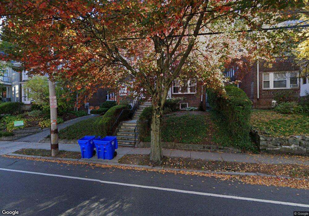
192 Winchester St Unit 2 Brookline, MA 02446
Washington Square NeighborhoodEstimated Value: $1,481,000 - $2,095,000
4
Beds
3
Baths
2,315
Sq Ft
$766/Sq Ft
Est. Value
About This Home
This home is located at 192 Winchester St Unit 2, Brookline, MA 02446 and is currently estimated at $1,774,280, approximately $766 per square foot. 192 Winchester St Unit 2 is a home located in Norfolk County with nearby schools including Boston Green Academy Horace Mann Charter School and Torah Academy.
Ownership History
Date
Name
Owned For
Owner Type
Purchase Details
Closed on
Jan 31, 2001
Sold by
Shields James B
Bought by
Crowley Sarah and Crowley Martha J
Current Estimated Value
Home Financials for this Owner
Home Financials are based on the most recent Mortgage that was taken out on this home.
Original Mortgage
$392,000
Outstanding Balance
$142,232
Interest Rate
7.14%
Mortgage Type
Purchase Money Mortgage
Estimated Equity
$1,632,048
Create a Home Valuation Report for This Property
The Home Valuation Report is an in-depth analysis detailing your home's value as well as a comparison with similar homes in the area
Home Values in the Area
Average Home Value in this Area
Purchase History
| Date | Buyer | Sale Price | Title Company |
|---|---|---|---|
| Crowley Sarah | $490,000 | -- |
Source: Public Records
Mortgage History
| Date | Status | Borrower | Loan Amount |
|---|---|---|---|
| Open | Crowley Sarah | $392,000 |
Source: Public Records
Tax History Compared to Growth
Tax History
| Year | Tax Paid | Tax Assessment Tax Assessment Total Assessment is a certain percentage of the fair market value that is determined by local assessors to be the total taxable value of land and additions on the property. | Land | Improvement |
|---|---|---|---|---|
| 2025 | $14,846 | $1,504,200 | $0 | $1,504,200 |
| 2024 | $14,408 | $1,474,700 | $0 | $1,474,700 |
| 2023 | $14,023 | $1,406,500 | $0 | $1,406,500 |
| 2022 | $13,915 | $1,365,600 | $0 | $1,365,600 |
| 2021 | $13,251 | $1,352,100 | $0 | $1,352,100 |
| 2020 | $12,651 | $1,338,700 | $0 | $1,338,700 |
| 2019 | $11,947 | $1,275,000 | $0 | $1,275,000 |
| 2018 | $11,487 | $1,214,300 | $0 | $1,214,300 |
| 2017 | $11,108 | $1,124,300 | $0 | $1,124,300 |
| 2016 | $10,650 | $1,022,100 | $0 | $1,022,100 |
| 2015 | $9,924 | $929,200 | $0 | $929,200 |
| 2014 | $9,858 | $865,500 | $0 | $865,500 |
Source: Public Records
Map
Nearby Homes
- 200 Winchester St Unit 1
- 150+152 Jordan Rd
- 188 Mason Terrace Unit 188
- 28 Verndale St
- 85 Brainerd Rd Unit TH7
- 239 Kelton St Unit 41
- 245 Kelton St Unit 21
- 249 Corey Rd Unit 404
- 249 Corey Rd Unit 306
- 249 Corey Rd Unit 303
- 249 Corey Rd Unit 203
- 249 Corey Rd Unit 309
- 249 Corey Rd Unit 207
- 249 Corey Rd Unit 408
- 249 Corey Rd Unit 401
- 5 Fiske Terrace
- 107 Centre St Unit A
- 1304 Commonwealth Ave Unit 5
- 29 Mason Terrace
- 93 Centre St Unit 2
- 192 Winchester St Unit 1
- 196 Winchester St
- 196 Winchester St Unit 2
- 188 Winchester St Unit 2
- 188 Winchester St Unit 1
- 184 Winchester St Unit 186
- 186 Winchester St Unit 1
- 184 Winchester St Unit 2
- 186 Winchester St
- 200 Winchester St Unit 2
- 184-186 Winchester St
- 193 Winchester St Unit 195
- 197 Winchester St Unit 199
- 197 Winchester St Unit 197
- 197 Winchester St Unit 1
- 208 Winchester St
- 187 Winchester St Unit 189
- 253 Mason Terrace
- 180 Winchester St
- 249 Mason Terrace