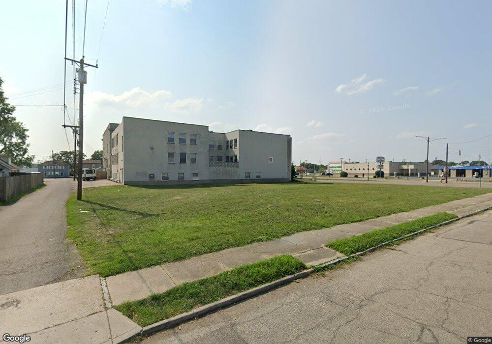
1920 1st Ave Middletown, OH 45044
Sherman NeighborhoodEstimated Value: $148,902
--
Bed
--
Bath
--
Sq Ft
6,970
Sq Ft Lot
About This Home
This home is located at 1920 1st Ave, Middletown, OH 45044 and is currently estimated at $148,902. 1920 1st Ave is a home located in Butler County with nearby schools including Amanda Elementary School, Highview 6th Grade Center, and Middletown Middle School.
Ownership History
Date
Name
Owned For
Owner Type
Purchase Details
Closed on
May 23, 2008
Sold by
The Cit Group/Consumer Finance Inc
Bought by
Berachah Baptist Church
Current Estimated Value
Purchase Details
Closed on
Jan 22, 2008
Sold by
Wilmot Grant C
Bought by
The Cit Group/Consumer Finance Inc
Purchase Details
Closed on
Mar 2, 1999
Sold by
Oldfield Terry L and Oldfield Sondra L
Bought by
Wilmot Grant C
Home Financials for this Owner
Home Financials are based on the most recent Mortgage that was taken out on this home.
Original Mortgage
$48,458
Interest Rate
6.83%
Mortgage Type
Commercial
Create a Home Valuation Report for This Property
The Home Valuation Report is an in-depth analysis detailing your home's value as well as a comparison with similar homes in the area
Home Values in the Area
Average Home Value in this Area
Purchase History
| Date | Buyer | Sale Price | Title Company |
|---|---|---|---|
| Berachah Baptist Church | $3,000 | None Available | |
| The Cit Group/Consumer Finance Inc | $55,000 | None Available | |
| Wilmot Grant C | $58,000 | -- |
Source: Public Records
Mortgage History
| Date | Status | Borrower | Loan Amount |
|---|---|---|---|
| Previous Owner | Wilmot Grant C | $48,458 | |
| Closed | Wilmot Grant C | $14,500 |
Source: Public Records
Tax History Compared to Growth
Tax History
| Year | Tax Paid | Tax Assessment Tax Assessment Total Assessment is a certain percentage of the fair market value that is determined by local assessors to be the total taxable value of land and additions on the property. | Land | Improvement |
|---|---|---|---|---|
| 2024 | -- | $3,290 | $3,290 | -- |
| 2023 | -- | $3,290 | $3,290 | -- |
| 2022 | $0 | $3,290 | $3,290 | $0 |
| 2021 | $0 | $3,290 | $3,290 | $0 |
| 2020 | $0 | $3,290 | $3,290 | $0 |
| 2019 | $256 | $3,530 | $3,530 | $0 |
| 2018 | $0 | $3,530 | $3,530 | $0 |
| 2017 | $0 | $3,530 | $3,530 | $0 |
| 2016 | $0 | $3,530 | $3,530 | $0 |
| 2015 | -- | $3,530 | $3,530 | $0 |
| 2014 | $44 | $3,530 | $3,530 | $0 |
| 2013 | $44 | $1,050 | $1,050 | $0 |
Source: Public Records
Map
Nearby Homes
- 2016 Linden Ave
- 2007 Central Ave
- 2112 Central Ave
- 2113 Central Ave
- 319 Moore St
- 113 N Sutphin St
- 2115 Central Ave
- 2119 Central Ave
- 1814.5 Logan Ave
- 408 Moore St
- 410 Moore St
- 206 N Sutphin St
- 1814 Logan Ave
- 211 Harrison St
- 2208 Superior Ave
- 6800 Fielders Way
- 19 Mckinley St
- 401 S Sutphin St
- 1609 1st Ave
- 407 S Sutphin St