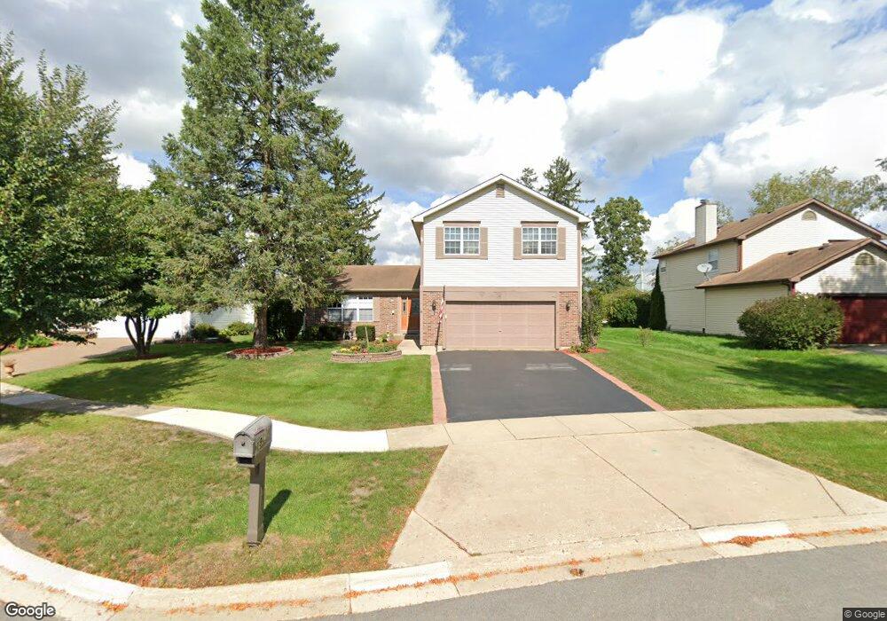
1920 Honey Locust Dr Algonquin, IL 60102
Estimated Value: $407,000 - $420,000
4
Beds
3
Baths
2,280
Sq Ft
$181/Sq Ft
Est. Value
About This Home
This home is located at 1920 Honey Locust Dr, Algonquin, IL 60102 and is currently estimated at $411,924, approximately $180 per square foot. 1920 Honey Locust Dr is a home located in McHenry County with nearby schools including Algonquin Lakes Elementary School, Algonquin Middle School, and Dundee-Crown High School.
Ownership History
Date
Name
Owned For
Owner Type
Purchase Details
Closed on
Jun 30, 2021
Sold by
Laipert Joseph D and Laipert Linda A
Bought by
Laipert Joseph D and Laipert Linda
Current Estimated Value
Purchase Details
Closed on
May 5, 1995
Sold by
Bishop Robert C and Bishop Randa S
Bought by
Laipert Joseph D and Laipert Linda A
Home Financials for this Owner
Home Financials are based on the most recent Mortgage that was taken out on this home.
Original Mortgage
$100,000
Interest Rate
8.39%
Create a Home Valuation Report for This Property
The Home Valuation Report is an in-depth analysis detailing your home's value as well as a comparison with similar homes in the area
Home Values in the Area
Average Home Value in this Area
Purchase History
| Date | Buyer | Sale Price | Title Company |
|---|---|---|---|
| Laipert Joseph D | -- | None Available | |
| Laipert Joseph D | $181,000 | 1St American Title |
Source: Public Records
Mortgage History
| Date | Status | Borrower | Loan Amount |
|---|---|---|---|
| Closed | Laipert Joseph D | $100,000 |
Source: Public Records
Tax History Compared to Growth
Tax History
| Year | Tax Paid | Tax Assessment Tax Assessment Total Assessment is a certain percentage of the fair market value that is determined by local assessors to be the total taxable value of land and additions on the property. | Land | Improvement |
|---|---|---|---|---|
| 2024 | $9,228 | $133,971 | $21,947 | $112,024 |
| 2023 | $8,691 | $119,820 | $19,629 | $100,191 |
| 2022 | $7,117 | $93,985 | $20,766 | $73,219 |
| 2021 | $6,793 | $87,558 | $19,346 | $68,212 |
| 2020 | $6,596 | $84,458 | $18,661 | $65,797 |
| 2019 | $6,413 | $80,837 | $17,861 | $62,976 |
| 2018 | $7,188 | $86,414 | $17,590 | $68,824 |
| 2017 | $7,011 | $81,408 | $16,571 | $64,837 |
| 2016 | $7,398 | $76,353 | $15,542 | $60,811 |
| 2013 | -- | $72,327 | $14,499 | $57,828 |
Source: Public Records
Map
Nearby Homes
- 2008 Clematis Dr
- 605 Claymont Ct
- 1561 Cumberland Pkwy
- 620 Old Oak Cir
- 1439 Lowe Dr
- 1782 Cumberland Pkwy
- 2 Cumberland Pkwy
- 920 Plymouth Ct
- 903 Old Oak Cir
- 911 Old Oak Cir Unit 1
- 1514 N Harrison St
- 14 Oxford Ct
- 1659 E Algonquin Rd
- 1770 E Algonquin Rd
- Lot 4 b Ryan Pkwy
- 925 N River Rd
- 1188 E Algonquin Rd
- 1943 Ozark Pkwy
- 2 Sunset Ln
- 600 E Algonquin Rd
- 1930 Honey Locust Dr
- 1910 Honey Locust Dr
- 1053 Honey Locust Dr
- 1042 Honey Locust Dr
- 1034 Honey Locust Dr
- 1038 Honey Locust Dr
- 1054 Honey Locust Dr
- 1940 Honey Locust Dr
- 1900 Honey Locust Dr
- 1911 Honey Locust Dr
- 600 Lilac Dr
- 1950 Honey Locust Dr
- 1921 Honey Locust Dr
- 601 Lilac Dr
- 610 Lilac Dr
- 580 Applewood Ln
- 1931 Honey Locust Dr
- 1960 Honey Locust Dr
- 620 Lilac Dr
- 611 Lilac Dr