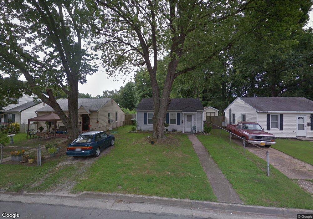
1920 Long Green Ln Hampton, VA 23663
Buckroe Beach NeighborhoodEstimated Value: $144,000 - $200,000
2
Beds
1
Bath
624
Sq Ft
$276/Sq Ft
Est. Value
About This Home
This home is located at 1920 Long Green Ln, Hampton, VA 23663 and is currently estimated at $172,283, approximately $276 per square foot. 1920 Long Green Ln is a home located in Hampton City with nearby schools including Benjamin Syms Middle School, Phoebus High School, and Gloria Dei Lutheran School.
Ownership History
Date
Name
Owned For
Owner Type
Purchase Details
Closed on
Jan 3, 2011
Sold by
Bfsf Properties 2007 Inc
Bought by
Housing Dev Corp Of Hpt Roads
Current Estimated Value
Purchase Details
Closed on
Oct 6, 2006
Sold by
Campbell Herbert H
Bought by
Hannah Jeffrey M
Home Financials for this Owner
Home Financials are based on the most recent Mortgage that was taken out on this home.
Original Mortgage
$33,500
Interest Rate
6.47%
Mortgage Type
New Conventional
Create a Home Valuation Report for This Property
The Home Valuation Report is an in-depth analysis detailing your home's value as well as a comparison with similar homes in the area
Home Values in the Area
Average Home Value in this Area
Purchase History
| Date | Buyer | Sale Price | Title Company |
|---|---|---|---|
| Housing Dev Corp Of Hpt Roads | -- | -- | |
| Hannah Jeffrey M | $67,000 | -- |
Source: Public Records
Mortgage History
| Date | Status | Borrower | Loan Amount |
|---|---|---|---|
| Previous Owner | Hannah Jeffrey M | $33,500 |
Source: Public Records
Tax History
| Year | Tax Paid | Tax Assessment Tax Assessment Total Assessment is a certain percentage of the fair market value that is determined by local assessors to be the total taxable value of land and additions on the property. | Land | Improvement |
|---|---|---|---|---|
| 2025 | $1,882 | $158,400 | $53,000 | $105,400 |
| 2024 | $1,663 | $144,600 | $53,000 | $91,600 |
| 2023 | $1,435 | $123,700 | $42,500 | $81,200 |
| 2022 | $1,247 | $105,700 | $42,500 | $63,200 |
| 2021 | $776 | $52,100 | $35,000 | $17,100 |
| 2020 | $572 | $46,100 | $30,600 | $15,500 |
| 2019 | $568 | $45,800 | $30,600 | $15,200 |
| 2018 | $783 | $65,300 | $30,600 | $34,700 |
| 2017 | $904 | $0 | $0 | $0 |
| 2016 | $904 | $65,300 | $0 | $0 |
| 2015 | $904 | $0 | $0 | $0 |
| 2014 | $935 | $68,200 | $30,600 | $37,600 |
Source: Public Records
Map
Nearby Homes
- 1928 Long Green Ln
- 1915 Long Green Ln
- 1909 Long Green Ln
- 706 Grimes Rd
- 1923 Rawood Dr
- 1926 Somerville Dr
- 2013 Whitman Place
- 1530 Morgan Dr
- 1845 Kensington Dr
- 1814 Somerville Dr
- 438 Shelton Rd
- 604 Old Buckroe Rd
- 213 Ireland St
- 1912 Beall Dr
- 1527 Grove St
- 1445 Oakcrest Dr
- 1504 E Pembroke Ave
- 2000 Egger Cir
- 6 Langille Ct
- 733 Burgess Ave
- 1922 Long Green Ln
- 1918 Long Green Ln
- 1924 Long Green Ln
- 1916 Long Green Ln
- 1926 Long Green Ln
- 1919 Long Green Ln
- 1921 Long Green Ln
- 1912 Long Green Ln
- 1917 Long Green Ln
- 1923 Long Green Ln
- 1925 Long Green Ln
- 1930 Long Green Ln
- 1910 Long Green Ln
- 1927 Long Green Ln
- 1911 Long Green Ln
- 7 Farrington Place
- 1932 Long Green Ln
- 1908 Long Green Ln
- 1929 Long Green Ln
- 1931 Long Green Ln
Your Personal Tour Guide
Ask me questions while you tour the home.