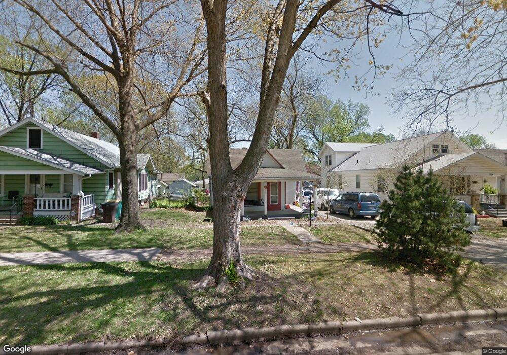
1920 SW Lane St Topeka, KS 66604
Chesney Park NeighborhoodEstimated Value: $70,000 - $104,000
2
Beds
1
Bath
956
Sq Ft
$83/Sq Ft
Est. Value
About This Home
This home is located at 1920 SW Lane St, Topeka, KS 66604 and is currently estimated at $79,296, approximately $82 per square foot. 1920 SW Lane St is a home located in Shawnee County with nearby schools including Robinson Middle School, Topeka High School, and Mater Dei Catholic School.
Ownership History
Date
Name
Owned For
Owner Type
Purchase Details
Closed on
Feb 18, 2019
Sold by
Brundage Ethan Norris
Bought by
Baird Taj
Current Estimated Value
Purchase Details
Closed on
Jan 7, 2019
Sold by
Horan Thomas E
Bought by
Brundage Ethan Norris
Purchase Details
Closed on
Aug 17, 2007
Sold by
Mitchell Erik K and Mitchell Alexis A
Bought by
Horan Thomas E F
Home Financials for this Owner
Home Financials are based on the most recent Mortgage that was taken out on this home.
Original Mortgage
$25,000
Interest Rate
6.72%
Mortgage Type
Future Advance Clause Open End Mortgage
Purchase Details
Closed on
Aug 8, 2007
Sold by
Huston Kassandra
Bought by
Horan Thomas E F
Home Financials for this Owner
Home Financials are based on the most recent Mortgage that was taken out on this home.
Original Mortgage
$25,000
Interest Rate
6.72%
Mortgage Type
Future Advance Clause Open End Mortgage
Create a Home Valuation Report for This Property
The Home Valuation Report is an in-depth analysis detailing your home's value as well as a comparison with similar homes in the area
Home Values in the Area
Average Home Value in this Area
Purchase History
| Date | Buyer | Sale Price | Title Company |
|---|---|---|---|
| Baird Taj | -- | Lawyers Title Of Kansas Inc | |
| Brundage Ethan Norris | -- | None Available | |
| Horan Thomas E F | -- | Kansas Secured Title | |
| Horan Thomas E F | -- | Kansas Secured Title |
Source: Public Records
Mortgage History
| Date | Status | Borrower | Loan Amount |
|---|---|---|---|
| Previous Owner | Horan Thomas E F | $25,000 | |
| Previous Owner | Horan Thomas E F | $25,000 |
Source: Public Records
Tax History Compared to Growth
Tax History
| Year | Tax Paid | Tax Assessment Tax Assessment Total Assessment is a certain percentage of the fair market value that is determined by local assessors to be the total taxable value of land and additions on the property. | Land | Improvement |
|---|---|---|---|---|
| 2025 | $516 | $4,204 | -- | -- |
| 2023 | $516 | $3,777 | $0 | $0 |
| 2022 | $475 | $3,530 | $0 | $0 |
| 2021 | $468 | $3,209 | $0 | $0 |
| 2020 | $419 | $2,936 | $0 | $0 |
| 2019 | $413 | $2,879 | $0 | $0 |
| 2018 | $400 | $2,795 | $0 | $0 |
| 2017 | $401 | $2,795 | $0 | $0 |
| 2014 | $405 | $2,795 | $0 | $0 |
Source: Public Records
Map
Nearby Homes
- 1907 SW Buchanan St
- 1912 SW Buchanan St
- 1822 SW Lane St
- 2058 SW Buchanan St
- 2129 SW Buchanan St
- 1700 SW Buchanan St
- 1501-1599 SW 17th St
- 1647 SW 21st St
- 1630 SW Buchanan St
- 918 SW 17th St
- 1620 SW Clay St
- 1637 SW Fillmore St
- 1610 SW Central Park Ave
- 1556 SW 23rd St
- 1015 SW 16th St
- 1527 SW Mulvane St
- 1531 SW 15th St
- 0 SW Buchanan St
- 1717 SW 15th St
- 1532 SW Western Ave
- 1924 SW Lane St
- 1912 SW Lane St
- 1926 SW Lane St
- 1906 SW Lane St
- 1928 SW Lane St
- 1915 SW Lincoln St
- 1902 SW Lane St
- 1932 SW Lane St
- 1913 SW Lincoln St
- 1925 SW Lincoln St
- 1907 SW Lincoln St
- 1917 SW Lane St
- 1921 SW Lane St
- 1915 SW Lane St
- 1931 SW Lincoln St
- 1905 SW Lincoln St
- 1936 SW Lane St
- 1909 SW Lane St
- 1933 SW Lincoln St
- 1929 SW Lane St