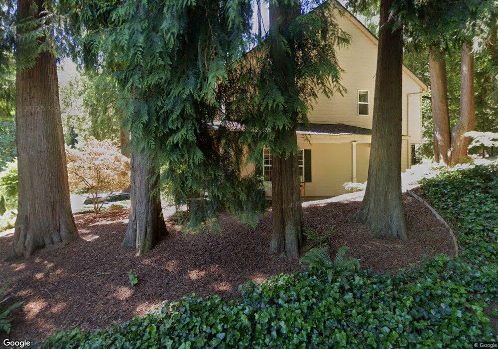
1920 Tompkins St West Linn, OR 97068
Bolton NeighborhoodEstimated Value: $676,000 - $811,000
4
Beds
3
Baths
2,025
Sq Ft
$366/Sq Ft
Est. Value
About This Home
This home is located at 1920 Tompkins St, West Linn, OR 97068 and is currently estimated at $741,048, approximately $365 per square foot. 1920 Tompkins St is a home located in Clackamas County with nearby schools including Bolton Primary School, West Linn High School, and Clackamas Academy of Industrial Sciences (CAIS).
Ownership History
Date
Name
Owned For
Owner Type
Purchase Details
Closed on
Oct 12, 2002
Sold by
Turner Scott
Bought by
Koller Daniel
Current Estimated Value
Home Financials for this Owner
Home Financials are based on the most recent Mortgage that was taken out on this home.
Original Mortgage
$185,000
Outstanding Balance
$75,869
Interest Rate
5.99%
Estimated Equity
$665,179
Purchase Details
Closed on
Mar 1, 1999
Sold by
Law Patricia D
Bought by
Turner Scott
Purchase Details
Closed on
May 13, 1997
Sold by
Law Roger W
Bought by
Law Patricia D
Create a Home Valuation Report for This Property
The Home Valuation Report is an in-depth analysis detailing your home's value as well as a comparison with similar homes in the area
Home Values in the Area
Average Home Value in this Area
Purchase History
| Date | Buyer | Sale Price | Title Company |
|---|---|---|---|
| Koller Daniel | $265,000 | First American Title Ins Co | |
| Turner Scott | $55,000 | Pacific Nw Title | |
| Law Patricia D | -- | -- |
Source: Public Records
Mortgage History
| Date | Status | Borrower | Loan Amount |
|---|---|---|---|
| Open | Koller Daniel | $185,000 |
Source: Public Records
Tax History Compared to Growth
Tax History
| Year | Tax Paid | Tax Assessment Tax Assessment Total Assessment is a certain percentage of the fair market value that is determined by local assessors to be the total taxable value of land and additions on the property. | Land | Improvement |
|---|---|---|---|---|
| 2025 | $8,840 | $458,725 | -- | -- |
| 2024 | $8,510 | $445,365 | -- | -- |
| 2023 | $8,510 | $432,394 | $0 | $0 |
| 2022 | $8,032 | $419,800 | $0 | $0 |
| 2021 | $7,624 | $407,573 | $0 | $0 |
| 2020 | $7,676 | $395,702 | $0 | $0 |
| 2019 | $7,320 | $384,177 | $0 | $0 |
| 2018 | $6,983 | $372,987 | $0 | $0 |
| 2017 | $6,668 | $362,123 | $0 | $0 |
| 2016 | $6,371 | $351,576 | $0 | $0 |
| 2015 | $5,949 | $341,336 | $0 | $0 |
| 2014 | $5,629 | $331,394 | $0 | $0 |
Source: Public Records
Map
Nearby Homes
- 6345 Caufield St
- 6403 Tompkins Ct
- 1954 Buck St
- 20930 Fawn Ct Unit 26
- 5910 W A St
- 5128 Firwood Dr
- 2488 Tulane St
- 5219 Summit St
- 2700 Underhill Ln Unit 1
- 19697 SE Cottonwood St
- 4050 Serango Ct
- 5062 Prospect St
- 4973 Summit St
- 5687 River St
- 2764 Ridge Ln
- 1470 Rosemont Rd
- 20120 Larkspur Ln Unit 85
- 19575 River Rd Unit 53
- 2583 Pimlico Dr
- 4020 Ridge Ln
- 1950 Tompkins St
- 1980 Tompkins St
- 6285 Davenport St
- 6288 Elliott St
- 1880 Tompkins St
- 6291 Elliott St
- 6275 Davenport St
- 2120 Randall St
- 2020 Tompkins St
- 6320 Failing St
- 6340 Failing St
- 6255 Elliott St
- 2010 Parkside Ct
- 2006 Parkside Ct
- 1941 Buck St
- 2014 Parkside Ct
- 6380 Failing St
- 1993 Buck St
- 6282 Davenport St
- 2002 Parkside Ct Unit 1