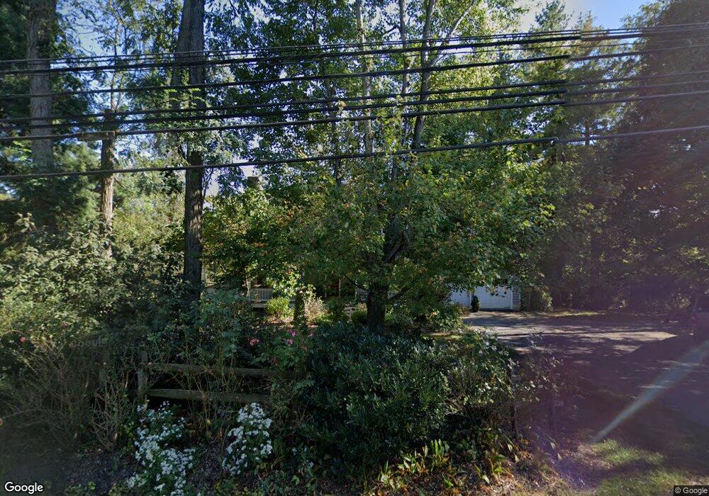
1921 Graves Rd Hockessin, DE 19707
Estimated Value: $601,000 - $710,000
3
Beds
3
Baths
2,188
Sq Ft
$299/Sq Ft
Est. Value
About This Home
This home is located at 1921 Graves Rd, Hockessin, DE 19707 and is currently estimated at $653,898, approximately $298 per square foot. 1921 Graves Rd is a home located in New Castle County with nearby schools including Dupont (H.B.) Middle School, Thomas McKean High School, and Wilmington Christian School.
Ownership History
Date
Name
Owned For
Owner Type
Purchase Details
Closed on
Feb 19, 2008
Sold by
Mccaulley Curran Susan H and Curran Denis A
Bought by
Harper Richard E and Harper Amy C
Current Estimated Value
Home Financials for this Owner
Home Financials are based on the most recent Mortgage that was taken out on this home.
Original Mortgage
$250,000
Outstanding Balance
$156,368
Interest Rate
5.9%
Mortgage Type
Unknown
Estimated Equity
$497,530
Create a Home Valuation Report for This Property
The Home Valuation Report is an in-depth analysis detailing your home's value as well as a comparison with similar homes in the area
Home Values in the Area
Average Home Value in this Area
Purchase History
| Date | Buyer | Sale Price | Title Company |
|---|---|---|---|
| Harper Richard E | -- | None Available | |
| Mccaulley Curran Susan H | -- | None Available |
Source: Public Records
Mortgage History
| Date | Status | Borrower | Loan Amount |
|---|---|---|---|
| Open | Harper Richard E | $250,000 |
Source: Public Records
Tax History Compared to Growth
Tax History
| Year | Tax Paid | Tax Assessment Tax Assessment Total Assessment is a certain percentage of the fair market value that is determined by local assessors to be the total taxable value of land and additions on the property. | Land | Improvement |
|---|---|---|---|---|
| 2024 | $4,523 | $122,400 | $25,100 | $97,300 |
| 2023 | $3,990 | $122,400 | $25,100 | $97,300 |
| 2022 | $4,037 | $122,400 | $25,100 | $97,300 |
| 2021 | $4,037 | $122,400 | $25,100 | $97,300 |
| 2020 | $4,050 | $122,400 | $25,100 | $97,300 |
| 2019 | $4,044 | $122,400 | $25,100 | $97,300 |
| 2018 | $3,963 | $122,400 | $25,100 | $97,300 |
| 2017 | $3,915 | $122,400 | $25,100 | $97,300 |
| 2016 | $3,739 | $122,400 | $25,100 | $97,300 |
| 2015 | $3,503 | $122,400 | $25,100 | $97,300 |
| 2014 | $3,242 | $122,400 | $25,100 | $97,300 |
Source: Public Records
Map
Nearby Homes
- 151 Sawin Ln
- 1825 Graves Rd
- 23 Raphael Rd
- 27 Raphael Rd
- 213 Valley Ln
- 5 Foxview Cir
- 38 Westhampton Dr
- 12 Foxview Cir
- 10 Equestrian Cir
- 202 Clover Dr
- 128 Oldbury Dr
- 713 Old Wilmington Rd
- 800 Partridge Ct
- 34 Cinnamon Dr
- 850 Stockbridge Dr
- 404 Kimberley Rd
- 226 Cayman Ct
- 504 Hemingway Dr
- 5 Ridgewood Dr
- 219 Phillips Dr
- 1925 Graves Rd
- 401 Topsfield Rd
- 1920 Graves Rd
- 1930 Graves Rd
- 403 Topsfield Rd
- 1906 Graves Rd
- 1943 Graves Rd
- 1892 Graves Rd
- 405 Topsfield Rd
- 402 Topsfield Rd
- 5 Pimlico Ct
- 1884 Graves Rd
- 1942 Graves Rd
- 4 Pimlico Ct
- 19 Wimbledon Ct
- 20 Wimbledon Ct
- 1885 Graves Rd
- 6 Pimlico Ct
- 2 Raphael Rd
- 2 1/2 Raphael Rd