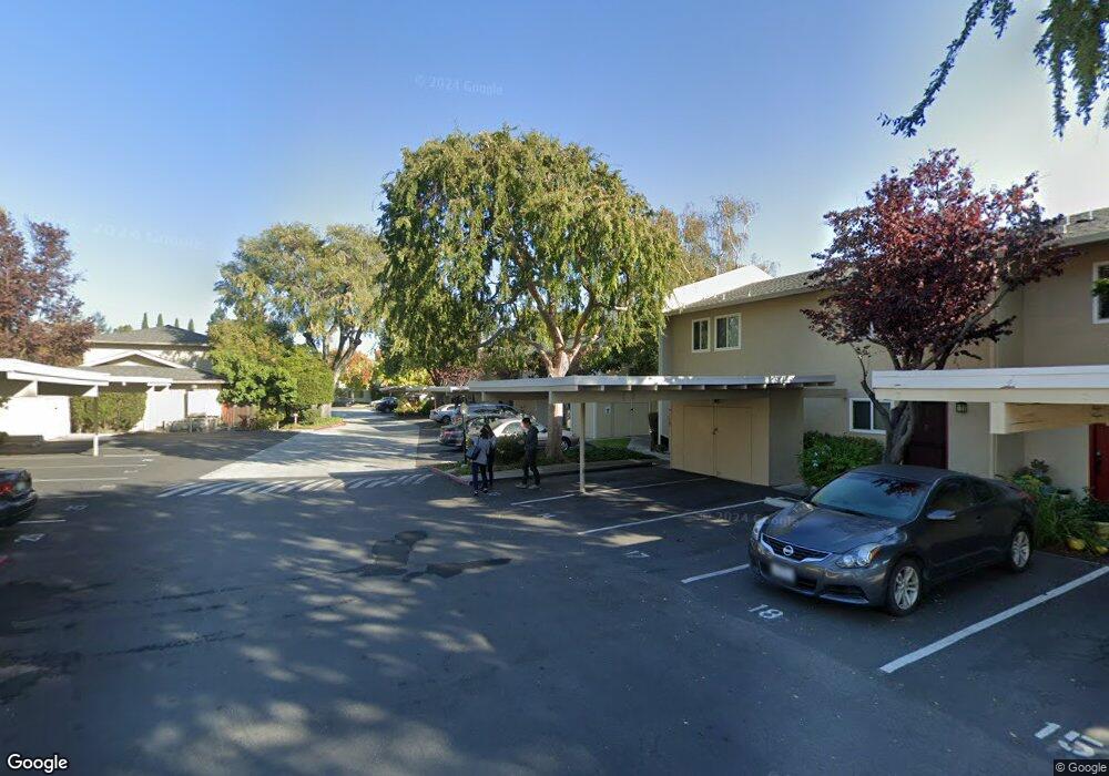
1921 Rock St Unit 26 Mountain View, CA 94043
Monta Loma NeighborhoodEstimated Value: $868,651 - $1,104,000
2
Beds
2
Baths
972
Sq Ft
$987/Sq Ft
Est. Value
About This Home
This home is located at 1921 Rock St Unit 26, Mountain View, CA 94043 and is currently estimated at $959,663, approximately $987 per square foot. 1921 Rock St Unit 26 is a home located in Santa Clara County with nearby schools including Monta Loma Elementary School, Crittenden Middle School, and Los Altos High School.
Ownership History
Date
Name
Owned For
Owner Type
Purchase Details
Closed on
Sep 1, 2007
Sold by
Mccarty Ann and Mccarty Ann C
Bought by
Mccarty Ann C
Current Estimated Value
Purchase Details
Closed on
Sep 22, 2003
Sold by
Smidt Michael R and Smidt Dayle T
Bought by
Mccarty Ann
Home Financials for this Owner
Home Financials are based on the most recent Mortgage that was taken out on this home.
Original Mortgage
$296,500
Outstanding Balance
$136,600
Interest Rate
6.14%
Mortgage Type
Purchase Money Mortgage
Estimated Equity
$823,063
Create a Home Valuation Report for This Property
The Home Valuation Report is an in-depth analysis detailing your home's value as well as a comparison with similar homes in the area
Home Values in the Area
Average Home Value in this Area
Purchase History
| Date | Buyer | Sale Price | Title Company |
|---|---|---|---|
| Mccarty Ann C | -- | None Available | |
| Mccarty Ann | $332,000 | Stewart Title Of California |
Source: Public Records
Mortgage History
| Date | Status | Borrower | Loan Amount |
|---|---|---|---|
| Open | Mccarty Ann | $296,500 | |
| Closed | Mccarty Ann | $25,000 |
Source: Public Records
Tax History Compared to Growth
Tax History
| Year | Tax Paid | Tax Assessment Tax Assessment Total Assessment is a certain percentage of the fair market value that is determined by local assessors to be the total taxable value of land and additions on the property. | Land | Improvement |
|---|---|---|---|---|
| 2025 | $5,694 | $471,305 | $282,784 | $188,521 |
| 2024 | $5,694 | $462,065 | $277,240 | $184,825 |
| 2023 | $5,620 | $453,005 | $271,804 | $181,201 |
| 2022 | $5,602 | $444,124 | $266,475 | $177,649 |
| 2021 | $5,472 | $435,416 | $261,250 | $174,166 |
| 2020 | $5,440 | $430,953 | $258,572 | $172,381 |
| 2019 | $5,206 | $422,503 | $253,502 | $169,001 |
| 2018 | $5,166 | $414,220 | $248,532 | $165,688 |
| 2017 | $4,938 | $406,099 | $243,659 | $162,440 |
| 2016 | $4,759 | $398,137 | $238,882 | $159,255 |
| 2015 | $4,639 | $392,157 | $235,294 | $156,863 |
| 2014 | $4,584 | $384,476 | $230,685 | $153,791 |
Source: Public Records
Map
Nearby Homes
- 1963 Rock St Unit 4
- 1963 Rock St Unit 24
- 2000 Rock St Unit 7
- 856 Sycamore Loop
- 453 N Rengstorff Ave Unit 15
- 853B Sierra Vista Ave
- 2045 Atlas Loop
- 1387 W Middlefield Rd
- 421 Sierra Vista Ave Unit 9
- 748 Cottage Ct
- 1269 Verano Rd
- 1951 Plymouth St
- 1993 Plymouth St Unit 11
- 2214 Raspberry Ln
- 363 N Rengstorff Ave Unit 5
- 347 N Rengstorff Ave
- 1956 Montecito Ave
- 2012 Montecito Ave
- 2047 Montecito Ave Unit 2
- 2524 W Middlefield Rd Unit 2
- 1921 Rock St Unit 13
- 1921 Rock St Unit 11
- 1921 Rock St
- 1921 Rock St Unit 32
- 1921 Rock St Unit 31
- 1921 Rock St Unit 30
- 1921 Rock St Unit 29
- 1921 Rock St Unit 28
- 1921 Rock St Unit 27
- 1921 Rock St Unit 25
- 1921 Rock St Unit 24
- 1921 Rock St Unit 23
- 1921 Rock St Unit 22
- 1921 Rock St Unit 21
- 1921 Rock St Unit 20
- 1921 Rock St Unit 19
- 1921 Rock St Unit 18
- 1921 Rock St Unit 17
- 1921 Rock St Unit 16
- 1921 Rock St Unit 15