1921 Stonecrest Rd Placerville, CA 95667
Estimated Value: $306,000 - $816,000
3
Beds
3
Baths
3,032
Sq Ft
$179/Sq Ft
Est. Value
About This Home
This home is located at 1921 Stonecrest Rd, Placerville, CA 95667 and is currently estimated at $542,521, approximately $178 per square foot. 1921 Stonecrest Rd is a home located in El Dorado County with nearby schools including El Dorado High School, Country Day Montessori, and El Dorado Adventist School.
Ownership History
Date
Name
Owned For
Owner Type
Purchase Details
Closed on
Aug 31, 2023
Sold by
Eyjolf S Bjornsson Living Trust and Bjornsson Erica
Bought by
Kesner Spencer William and Kesner Morgan Jane
Current Estimated Value
Purchase Details
Closed on
Sep 27, 2022
Sold by
Bjornsson Eyjolf S
Bought by
Eyjolf S Bjornsson Living Trust
Purchase Details
Closed on
Apr 1, 2019
Sold by
Bjornssox Eyjolf S and Bjornssox Clindy Nancy
Bought by
Bjornssox Eyjolf S and Bjornssox Clindy Nancy
Create a Home Valuation Report for This Property
The Home Valuation Report is an in-depth analysis detailing your home's value as well as a comparison with similar homes in the area
Home Values in the Area
Average Home Value in this Area
Purchase History
| Date | Buyer | Sale Price | Title Company |
|---|---|---|---|
| Kesner Spencer William | $265,000 | Fidelity National Title | |
| Eyjolf S Bjornsson Living Trust | -- | -- | |
| Bjornssox Eyjolf S | -- | None Available |
Source: Public Records
Tax History
| Year | Tax Paid | Tax Assessment Tax Assessment Total Assessment is a certain percentage of the fair market value that is determined by local assessors to be the total taxable value of land and additions on the property. | Land | Improvement |
|---|---|---|---|---|
| 2025 | $3,596 | $270,300 | $142,800 | $127,500 |
| 2024 | $3,596 | $345,149 | $94,114 | $251,035 |
| 2023 | $3,795 | $338,382 | $92,269 | $246,113 |
| 2022 | $3,501 | $331,748 | $90,460 | $241,288 |
| 2021 | $3,461 | $325,244 | $88,687 | $236,557 |
| 2020 | $3,408 | $321,910 | $87,778 | $234,132 |
| 2019 | $3,366 | $315,599 | $86,057 | $229,542 |
| 2018 | $3,264 | $309,412 | $84,370 | $225,042 |
| 2017 | $3,214 | $303,346 | $82,716 | $220,630 |
| 2016 | $3,164 | $297,399 | $81,095 | $216,304 |
| 2015 | $3,018 | $292,934 | $79,878 | $213,056 |
| 2014 | $3,018 | $287,198 | $78,314 | $208,884 |
Source: Public Records
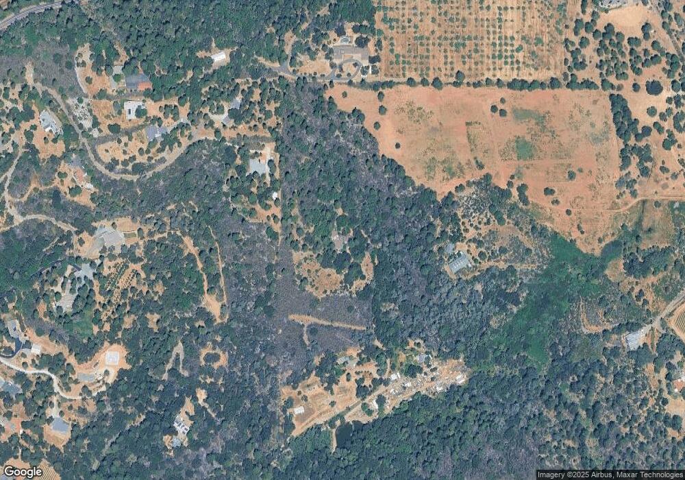
Map
Nearby Homes
- 2399 Kingsgate Rd
- 1720 Jacobs Way
- 2655 Mona Dr
- 1812 Mary Ct
- 1764 Country Club Dr
- 2360 Union Ridge Rd
- 3353 Airport Rd
- 2940 Anderson Way
- 2977 Mosquito Rd
- 2660 Clay St
- 1131 Bush Ct
- 1015 Utah Dr
- 1016 Utah Dr
- 1000 Utah Dr
- Plan 3 at Sutter’s Ridge
- Plan 4 at Sutter’s Ridge
- Plan 1 at Sutter’s Ridge
- Plan 2 at Sutter’s Ridge
- 1012 Utah Dr
- 3020 Newtown Rd Unit C
- 1850 Whispering Wind Dr
- 1841 Whispering Wind Dr
- 1901 Stonecrest Rd
- 1881 Stonecrest Rd
- 2685 Glenview Dr
- 1781 Whispering Wind Dr
- 1900 Partridge Place Rd
- 2760 Lantis Ln
- 1811 Whispering Wind Dr
- 0 Carson Rd
- 1 Carson Rd
- 1770 Whispering Wind Dr
- 1800 Carson Rd
- 2775 Glenview Dr
- 2801 Glenview Ct
- 2761 Centennial Ct
- 1950 Partridge Place Rd
- 1870 Carson Rd
- 1752 Whispering Wind Dr
- 2681 Glenview Dr
Your Personal Tour Guide
Ask me questions while you tour the home.