1922 Winterport Cluster Reston, VA 20191
Estimated Value: $681,000 - $726,341
4
Beds
4
Baths
1,677
Sq Ft
$419/Sq Ft
Est. Value
About This Home
This home is located at 1922 Winterport Cluster, Reston, VA 20191 and is currently estimated at $702,585, approximately $418 per square foot. 1922 Winterport Cluster is a home located in Fairfax County with nearby schools including Sunrise Valley Elementary, Langston Hughes Middle School, and South Lakes High School.
Ownership History
Date
Name
Owned For
Owner Type
Purchase Details
Closed on
Jun 25, 2024
Sold by
Leslie M Rollins Trust and Rollins Leslie M
Bought by
Wolak Anthony P
Current Estimated Value
Home Financials for this Owner
Home Financials are based on the most recent Mortgage that was taken out on this home.
Original Mortgage
$584,000
Outstanding Balance
$577,065
Interest Rate
7.02%
Mortgage Type
New Conventional
Estimated Equity
$125,520
Purchase Details
Closed on
Mar 28, 2017
Sold by
Rollins Leslie M
Bought by
Leslie M Rollins Trustee Under The Lesli
Purchase Details
Closed on
May 4, 1998
Sold by
Beged Dov Yael and Beged Dov Gabriel B
Bought by
Rollins Theodore A and Rollins Leslie M
Home Financials for this Owner
Home Financials are based on the most recent Mortgage that was taken out on this home.
Original Mortgage
$142,400
Interest Rate
7.04%
Mortgage Type
New Conventional
Create a Home Valuation Report for This Property
The Home Valuation Report is an in-depth analysis detailing your home's value as well as a comparison with similar homes in the area
Home Values in the Area
Average Home Value in this Area
Purchase History
| Date | Buyer | Sale Price | Title Company |
|---|---|---|---|
| Wolak Anthony P | $730,000 | Chicago Title | |
| Leslie M Rollins Trustee Under The Lesli | -- | None Available | |
| Rollins Theodore A | $189,900 | -- |
Source: Public Records
Mortgage History
| Date | Status | Borrower | Loan Amount |
|---|---|---|---|
| Open | Wolak Anthony P | $584,000 | |
| Previous Owner | Rollins Theodore A | $142,400 |
Source: Public Records
Tax History
| Year | Tax Paid | Tax Assessment Tax Assessment Total Assessment is a certain percentage of the fair market value that is determined by local assessors to be the total taxable value of land and additions on the property. | Land | Improvement |
|---|---|---|---|---|
| 2025 | $7,235 | $652,680 | $165,000 | $487,680 |
| 2024 | $7,235 | $600,200 | $165,000 | $435,200 |
| 2023 | $6,821 | $580,230 | $165,000 | $415,230 |
| 2022 | $6,709 | $563,530 | $155,000 | $408,530 |
| 2021 | $6,289 | $515,260 | $150,000 | $365,260 |
| 2020 | $5,983 | $486,210 | $135,000 | $351,210 |
| 2019 | $5,817 | $472,700 | $135,000 | $337,700 |
| 2018 | $5,090 | $442,620 | $121,000 | $321,620 |
| 2017 | $5,020 | $415,580 | $115,000 | $300,580 |
| 2016 | $5,010 | $415,580 | $115,000 | $300,580 |
Source: Public Records
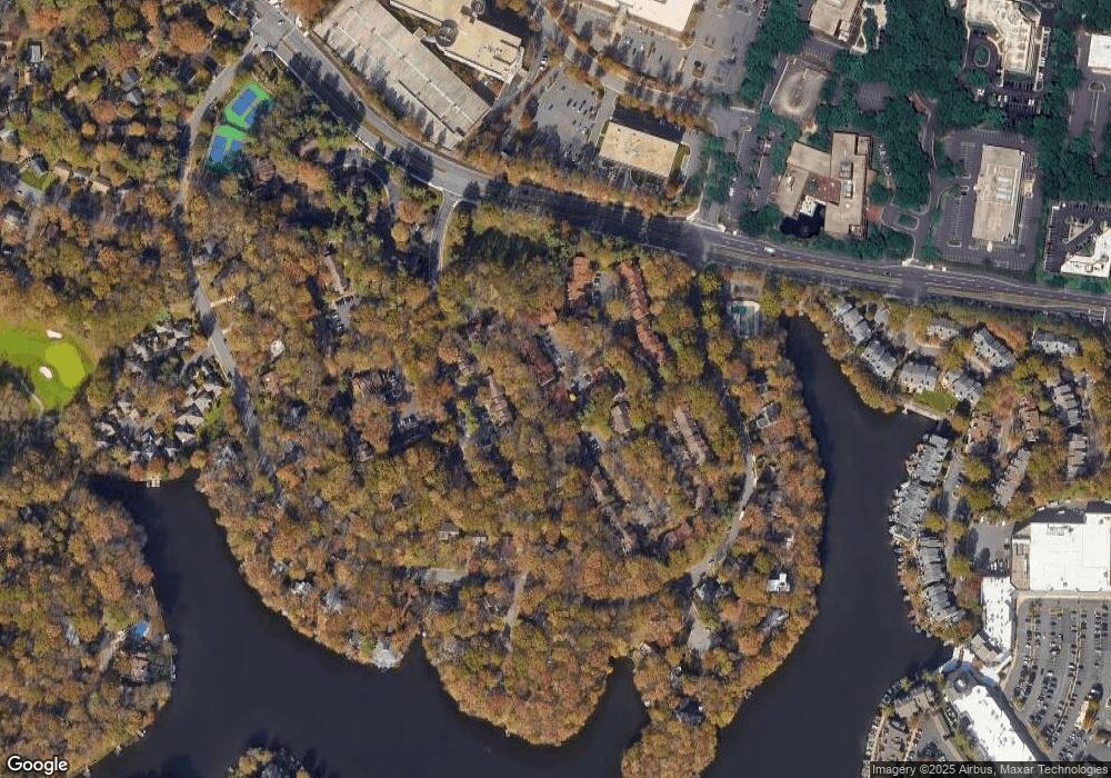
Map
Nearby Homes
- 2009 Headlands Cir
- 2006 Headlands Cir
- 1926 Lakeport Way
- 1953 Lakeport Way
- 11240 Harbor Ct Unit 11240
- 11123 Lakespray Way
- 11236 Faraday Park Dr
- 1951 Sagewood Ln Unit 619
- 1878 Easterly Rd
- 11226 Beaker St
- 11200 Reston Station Blvd Unit 208
- 11117 Little Compton Dr
- 2028 Beacon Place
- 1820 Reston Row Plaza Unit 1604
- 11168 Beaver Trail Ct
- 2118 Owls Cove Ln
- 2000 Homer Terrace
- 11142 Beaver Trail Ct
- 11144 Beaver Trail Ct Unit 11144
- 11116 Beaver Trail Ct Unit 11116
- 1922 Winterport Cluster
- 1924 Winterport Cluster
- 1920 Winterport Cluster
- 1926 Winterport Cluster
- 1918 Winterport Cluster
- 1928 Winterport Cluster
- 1928 Winterport Cluster
- 1916 Winterport Cluster
- 1916 Winterport Cluster
- 1930 Winterport Cluster
- 1930 Winterport Cluster
- 1930 Winterport Cluster
- 1914 Winterport Cluster
- 1914 Winterport Cluster
- 1912 Winterport Cluster
- 1912 Winterport Cluster
- 1912 Winterport Cluster
- 1910 Winterport Cluster
- 1910 Winterport Cluster
- 1910 Winterport Cluster
Your Personal Tour Guide
Ask me questions while you tour the home.