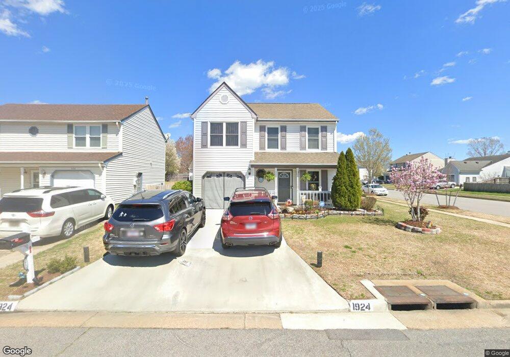
1924 Big Boulder Dr Virginia Beach, VA 23456
Landstown NeighborhoodEstimated Value: $392,000 - $396,000
3
Beds
3
Baths
1,572
Sq Ft
$251/Sq Ft
Est. Value
About This Home
This home is located at 1924 Big Boulder Dr, Virginia Beach, VA 23456 and is currently estimated at $394,055, approximately $250 per square foot. 1924 Big Boulder Dr is a home located in Virginia Beach City with nearby schools including Landstown Elementary School, Landstown Middle School, and Landstown High School.
Ownership History
Date
Name
Owned For
Owner Type
Purchase Details
Closed on
Feb 4, 2000
Sold by
Astrin Diane E
Bought by
Mcclain Clifford C
Current Estimated Value
Home Financials for this Owner
Home Financials are based on the most recent Mortgage that was taken out on this home.
Original Mortgage
$111,000
Outstanding Balance
$36,023
Interest Rate
7.91%
Estimated Equity
$358,032
Create a Home Valuation Report for This Property
The Home Valuation Report is an in-depth analysis detailing your home's value as well as a comparison with similar homes in the area
Home Values in the Area
Average Home Value in this Area
Purchase History
| Date | Buyer | Sale Price | Title Company |
|---|---|---|---|
| Mcclain Clifford C | $111,000 | -- |
Source: Public Records
Mortgage History
| Date | Status | Borrower | Loan Amount |
|---|---|---|---|
| Open | Mcclain Clifford C | $111,000 |
Source: Public Records
Tax History Compared to Growth
Tax History
| Year | Tax Paid | Tax Assessment Tax Assessment Total Assessment is a certain percentage of the fair market value that is determined by local assessors to be the total taxable value of land and additions on the property. | Land | Improvement |
|---|---|---|---|---|
| 2025 | -- | $343,100 | $130,000 | $213,100 |
| 2024 | $3,272 | $330,500 | $115,000 | $215,500 |
| 2023 | $3,217 | $324,900 | $108,000 | $216,900 |
| 2022 | $2,817 | $284,500 | $100,000 | $184,500 |
| 2021 | $2,469 | $249,400 | $86,000 | $163,400 |
| 2020 | $2,360 | $231,900 | $86,000 | $145,900 |
| 2019 | $2,359 | $227,100 | $85,000 | $142,100 |
| 2018 | $2,277 | $227,100 | $85,000 | $142,100 |
| 2017 | $2,166 | $216,100 | $85,000 | $131,100 |
| 2016 | $2,110 | $213,100 | $85,000 | $128,100 |
| 2015 | $2,085 | $210,600 | $85,000 | $125,600 |
| 2014 | $1,851 | $201,800 | $92,000 | $109,800 |
Source: Public Records
Map
Nearby Homes
- 2224 Rock Lake Loop
- 2260 Rock Lake Loop
- 3900 Dupree Ln
- 1980 Aquamarine Dr
- 3829 Lasalle Dr Unit 107
- 1845 Rock Lake Loop
- 3868 Shooting Star Dr
- 3852 Lasalle Dr Unit 101
- 3950 Lantana Place
- 3701 Canadian Arch
- The Addison Plan at Guilford at Spence Crossing
- The Rowen Plan at Guilford at Spence Crossing
- 1720 Vankar Dr Unit 308
- 1720 Vankar Dr Unit 207
- 1720 Vankar Dr Unit 302
- 1720 Vankar Dr
- 1920 Big Boulder Dr
- 2136 Rock Lake Loop
- 1916 Big Boulder Dr
- 1932 Big Boulder Dr
- 2132 Rock Lake Loop
- 1925 Big Boulder Dr
- 2137 Rock Lake Loop
- 1921 Big Boulder Dr
- 1912 Big Boulder Dr
- 2128 Rock Lake Loop
- 1936 Big Boulder Dr
- 1917 Big Boulder Dr
- 2133 Rock Lake Loop
- 2145 Rock Lake Loop
- 2060 White Water Dr
- 1913 Big Boulder Dr
- 2124 Rock Lake Loop
- 1940 Big Boulder Dr
- 2149 Rock Lake Loop
- 2108 Little Rock Ct