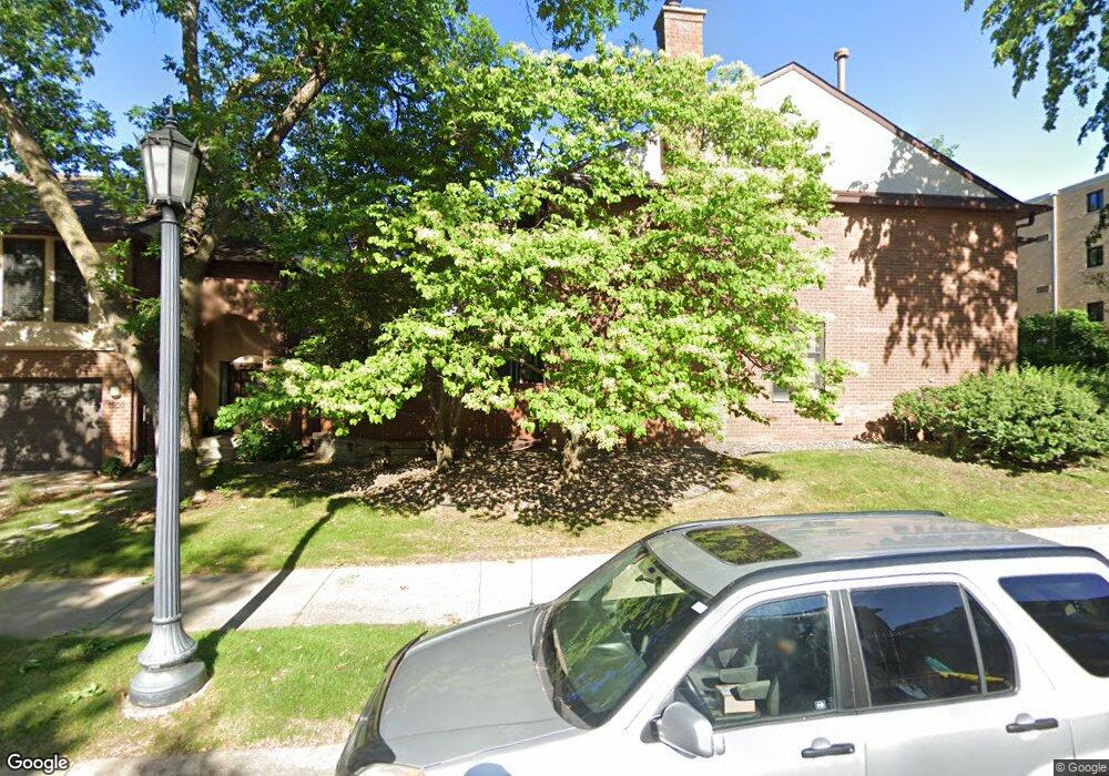
1924 Dupont Ave S Minneapolis, MN 55403
Lowry Hill NeighborhoodEstimated Value: $384,000 - $597,000
2
Beds
2
Baths
1,275
Sq Ft
$381/Sq Ft
Est. Value
About This Home
This home is located at 1924 Dupont Ave S, Minneapolis, MN 55403 and is currently estimated at $485,357, approximately $380 per square foot. 1924 Dupont Ave S is a home located in Hennepin County with nearby schools including Kenwood Elementary School, Anwatin Middle School, and North High School.
Ownership History
Date
Name
Owned For
Owner Type
Purchase Details
Closed on
Aug 12, 2021
Sold by
Ankeny Nicole D
Bought by
Ankeny Nicole D and Nicole D Ankeny Revocable Trus
Current Estimated Value
Purchase Details
Closed on
Jun 22, 2006
Sold by
Anderson Paul and Quaal Donald
Bought by
Not Provided
Purchase Details
Closed on
May 26, 2005
Sold by
Anderson Paul M
Bought by
Quaal Donald R
Purchase Details
Closed on
Oct 18, 1996
Sold by
Good Paulette Gordon
Bought by
Anderson Paul M
Create a Home Valuation Report for This Property
The Home Valuation Report is an in-depth analysis detailing your home's value as well as a comparison with similar homes in the area
Home Values in the Area
Average Home Value in this Area
Purchase History
| Date | Buyer | Sale Price | Title Company |
|---|---|---|---|
| Ankeny Nicole D | -- | None Available | |
| Not Provided | $484,000 | -- | |
| Quaal Donald R | $430,000 | -- | |
| Anderson Paul M | $139,000 | -- |
Source: Public Records
Tax History Compared to Growth
Tax History
| Year | Tax Paid | Tax Assessment Tax Assessment Total Assessment is a certain percentage of the fair market value that is determined by local assessors to be the total taxable value of land and additions on the property. | Land | Improvement |
|---|---|---|---|---|
| 2024 | $6,882 | $466,000 | $10,000 | $456,000 |
| 2023 | $6,107 | $466,000 | $10,000 | $456,000 |
| 2022 | $5,872 | $434,000 | $10,000 | $424,000 |
| 2021 | $5,089 | $421,000 | $9,000 | $412,000 |
| 2020 | $5,700 | $382,500 | $11,500 | $371,000 |
| 2019 | $5,565 | $394,500 | $11,500 | $383,000 |
| 2018 | $5,200 | $375,500 | $11,500 | $364,000 |
| 2017 | $4,972 | $323,000 | $11,500 | $311,500 |
| 2016 | $5,511 | $347,000 | $11,500 | $335,500 |
| 2015 | $5,255 | $315,500 | $11,500 | $304,000 |
| 2014 | -- | $315,500 | $11,500 | $304,000 |
Source: Public Records
Map
Nearby Homes
- 1932 Dupont Ave S
- 1940 Dupont Ave S
- 1901 Emerson Ave S Unit 402
- 1901 Emerson Ave S Unit 104
- 1820 Colfax Ave S
- 1915 Fremont Ave S
- 1805 Fremont Ave S
- 910 Lincoln Ave Unit B4
- 1785 Dupont Ave S
- 2112 Emerson Ave S Unit 3
- 1767 Fremont Ave S
- 1770 Bryant Ave S Unit 114
- 2021 Girard Ave S
- 1212 Douglas Ave
- 821 Douglas Ave Unit 301
- 821 Douglas Ave Unit 204
- 904 W 22nd St
- 1767 Girard Ave S
- 1721 Humboldt Ave S Unit 1
- 2100 Garfield Ave Unit 3
- 1926 Dupont Ave S
- 1928 Dupont Ave S
- 1922 Dupont Ave S
- 1930 Dupont Ave S
- 1920 Dupont Ave S
- 1942 Dupont Ave S
- 1944 Dupont Ave S
- 1936 Dupont Ave S
- 1934 Dupont Ave S
- 1938 Dupont Ave S
- 1925 Emerson Ave S
- 1912 Dupont Ave S Unit 408
- 1912 Dupont Ave S Unit 407
- 1912 Dupont Ave S Unit 406
- 1912 Dupont Ave S Unit 405
- 1912 Dupont Ave S Unit 404
- 1912 Dupont Ave S Unit 403
- 1912 Dupont Ave S Unit 402
- 1912 Dupont Ave S Unit 401
- 1912 Dupont Ave S Unit 308