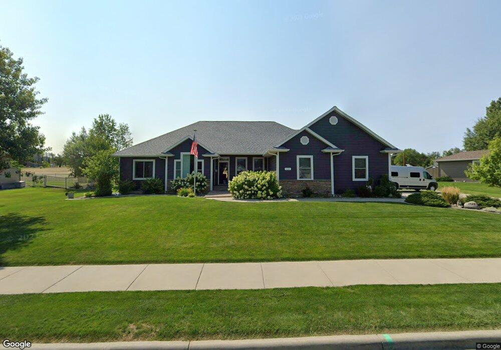
1924 Wentworth Dr Billings, MT 59105
Billings Heights NeighborhoodEstimated Value: $471,000 - $553,000
3
Beds
3
Baths
2,058
Sq Ft
$249/Sq Ft
Est. Value
About This Home
This home is located at 1924 Wentworth Dr, Billings, MT 59105 and is currently estimated at $512,733, approximately $249 per square foot. 1924 Wentworth Dr is a home located in Yellowstone County with nearby schools including Sandstone School, Castle Rock Junior High School, and Skyview High School.
Ownership History
Date
Name
Owned For
Owner Type
Purchase Details
Closed on
Nov 25, 2009
Sold by
Longen Jan L
Bought by
Parker Budge G and Bonogofsky Parker Sharon G
Current Estimated Value
Home Financials for this Owner
Home Financials are based on the most recent Mortgage that was taken out on this home.
Original Mortgage
$228,800
Interest Rate
4.88%
Mortgage Type
New Conventional
Purchase Details
Closed on
Jul 28, 2008
Sold by
Frank Jeffrey S and Frank Eugenia M
Bought by
Longen Jan L
Home Financials for this Owner
Home Financials are based on the most recent Mortgage that was taken out on this home.
Original Mortgage
$175,000
Interest Rate
6.31%
Mortgage Type
Purchase Money Mortgage
Create a Home Valuation Report for This Property
The Home Valuation Report is an in-depth analysis detailing your home's value as well as a comparison with similar homes in the area
Home Values in the Area
Average Home Value in this Area
Purchase History
| Date | Buyer | Sale Price | Title Company |
|---|---|---|---|
| Parker Budge G | -- | St | |
| Longen Jan L | -- | St |
Source: Public Records
Mortgage History
| Date | Status | Borrower | Loan Amount |
|---|---|---|---|
| Closed | Parker Budge G | $228,800 | |
| Previous Owner | Longen Jan L | $175,000 |
Source: Public Records
Tax History Compared to Growth
Tax History
| Year | Tax Paid | Tax Assessment Tax Assessment Total Assessment is a certain percentage of the fair market value that is determined by local assessors to be the total taxable value of land and additions on the property. | Land | Improvement |
|---|---|---|---|---|
| 2025 | $5,031 | $530,100 | $110,671 | $419,429 |
| 2024 | $5,031 | $474,200 | $104,310 | $369,890 |
| 2023 | $5,054 | $476,800 | $104,310 | $372,490 |
| 2022 | $4,321 | $354,700 | $0 | $0 |
| 2021 | $4,077 | $354,700 | $0 | $0 |
| 2020 | $3,799 | $311,800 | $0 | $0 |
| 2019 | $3,641 | $311,800 | $0 | $0 |
| 2018 | $4,010 | $344,400 | $0 | $0 |
| 2017 | $3,188 | $344,400 | $0 | $0 |
| 2016 | $3,516 | $309,800 | $0 | $0 |
| 2015 | $3,433 | $308,400 | $0 | $0 |
| 2014 | $3,401 | $162,922 | $0 | $0 |
Source: Public Records
Map
Nearby Homes
- 2115 Saint Andrews Dr
- 2049 Saint Andrews Dr
- 2029 Ridgeview Dr
- 1949 St Andrews Dr
- 2164 Greenbriar Rd
- 2043 Cypress Point
- Lot 1, Block 1 Greenbriar Rd
- 00 Winged Foot Drive Lot 10
- 0 Clubhouse Way
- LOT 3 Clubhouse Way
- LOT 4 Clubhouse Way
- 0 Winged Foot Dr
- 00
- 0 Greenbriar Rd
- 2032 Clubhouse Way
- 2143 Interlachen Dr
- 650 Pinehurst Rd
- TBD Gayle Block 17 Lot 4 Dr
- 2030 Gayle Dr
- TBD Gayle Block 17 Lot 7 Dr
- 2000 Wentworth Dr
- 1920 Wentworth Dr
- 2001 Wentworth Dr
- 1918 Wentworth Dr
- 2005 Wentworth Dr
- 1921 Wentworth Dr
- 2004 Wentworth Dr
- 2011 Wentworth Dr
- 1916 Wentworth Dr
- 1917 Wentworth Dr
- 2010 Wentworth Dr
- 2013 Wentworth Dr
- 1912 Wentworth Dr
- 1913 Wentworth Dr
- 2018 Wentworth Dr
- 2017 Wentworth Dr
- 310 Burning Tree Dr
- 322 Burning Tree Dr
- 1908 Wentworth Dr
- 1909 Wentworth Dr