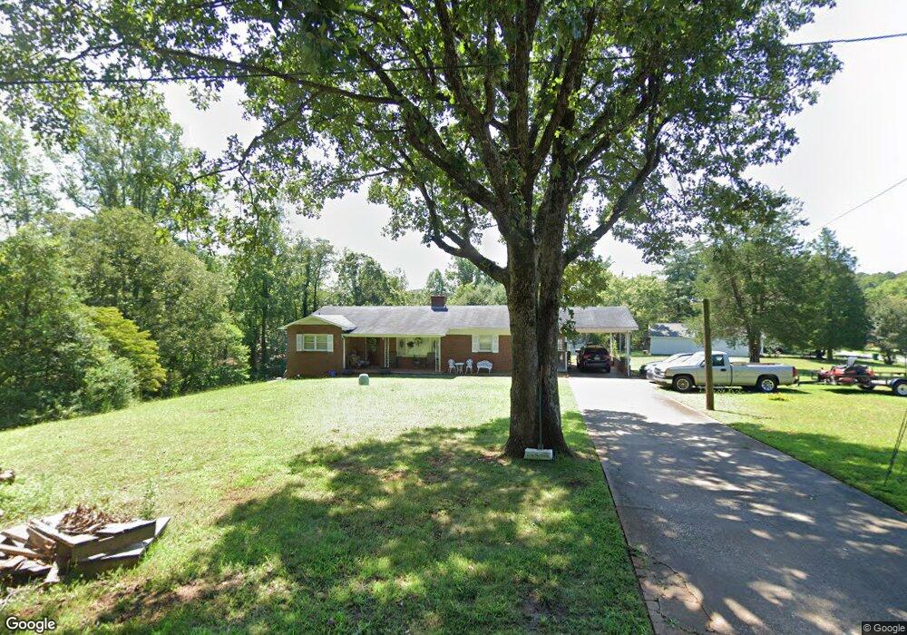
1925 Young Dr Unit 21-31 Conover, NC 28613
Estimated Value: $234,000 - $295,000
3
Beds
1
Bath
1,350
Sq Ft
$193/Sq Ft
Est. Value
About This Home
This home is located at 1925 Young Dr Unit 21-31, Conover, NC 28613 and is currently estimated at $260,843, approximately $193 per square foot. 1925 Young Dr Unit 21-31 is a home located in Catawba County with nearby schools including Claremont Elementary School, River Bend Middle School, and Bunker Hill High School.
Ownership History
Date
Name
Owned For
Owner Type
Purchase Details
Closed on
Apr 20, 2016
Sold by
Mcghee Melinda
Bought by
Stewart Christopher D and Stewart Brenda Mccleave
Current Estimated Value
Home Financials for this Owner
Home Financials are based on the most recent Mortgage that was taken out on this home.
Original Mortgage
$122,580
Outstanding Balance
$97,382
Interest Rate
3.68%
Mortgage Type
VA
Estimated Equity
$163,461
Purchase Details
Closed on
Apr 17, 1985
Sold by
Mcghee James Carl
Bought by
Mcghee Melinda
Purchase Details
Closed on
Jul 28, 1983
Purchase Details
Closed on
Aug 26, 1963
Create a Home Valuation Report for This Property
The Home Valuation Report is an in-depth analysis detailing your home's value as well as a comparison with similar homes in the area
Home Values in the Area
Average Home Value in this Area
Purchase History
| Date | Buyer | Sale Price | Title Company |
|---|---|---|---|
| Stewart Christopher D | $120,000 | Attorney | |
| Mcghee Melinda | -- | -- | |
| -- | $46,000 | -- | |
| -- | -- | -- |
Source: Public Records
Mortgage History
| Date | Status | Borrower | Loan Amount |
|---|---|---|---|
| Open | Stewart Christopher D | $122,580 |
Source: Public Records
Tax History
| Year | Tax Paid | Tax Assessment Tax Assessment Total Assessment is a certain percentage of the fair market value that is determined by local assessors to be the total taxable value of land and additions on the property. | Land | Improvement |
|---|---|---|---|---|
| 2025 | $1,810 | $213,300 | $8,600 | $204,700 |
| 2024 | $1,810 | $213,300 | $8,600 | $204,700 |
| 2023 | $1,810 | $213,300 | $8,600 | $204,700 |
| 2022 | $1,332 | $119,500 | $8,600 | $110,900 |
| 2021 | $1,332 | $119,500 | $8,600 | $110,900 |
| 2020 | $1,332 | $119,500 | $8,600 | $110,900 |
| 2019 | $1,332 | $119,500 | $0 | $0 |
| 2018 | $1,186 | $106,400 | $8,900 | $97,500 |
| 2017 | $1,186 | $0 | $0 | $0 |
| 2016 | $1,186 | $0 | $0 | $0 |
| 2015 | $1,158 | $106,360 | $8,900 | $97,460 |
| 2014 | $1,158 | $114,700 | $8,800 | $105,900 |
Source: Public Records
Map
Nearby Homes
- 1636 Mayfair Dr
- 0000 Burris Rd
- 2109 Kyle Ct SE
- 1687 Golden Cedar Ln
- 805 Mount Olive Church Rd
- 2474 Cedar Valley Dr
- 1708 Emmanuel Church Rd
- 2347 Plainfield Dr
- 2081 N Whisnant Ave
- 1818 N Rankin Ave
- 736 E 11th St
- 1820 N Hewitt Ave
- 1128 McRee Heights Cir
- 1118 St Michaels Dr SE
- 7.03 acres 5 W Hwy 10 Hwy
- 907 Goforth Rd
- 1071 Caleb Setzer Rd
- 1611 Emmaus Walk
- 1005 2nd St SE
- 827 E 9th St
- 1925 Young Dr
- 1726 Prestige Dr
- 1930 Young Dr
- 1743 Prestige Dr
- 1928 Young Dr
- 1729 Prestige Dr
- 1718 Prestige Dr
- 1978 Burris Rd
- 1893 Young Dr
- 1906 Young Dr
- 1708 Prestige Dr
- 1719 Prestige Dr
- 1896 Young Dr
- 1883 Young Dr
- 1874 Young Dr
- 1890 Burris Rd
- 1990 Burris Rd
- 1709 Prestige Dr
- 1867 Burris Rd
- 1855 Burris Rd
Your Personal Tour Guide
Ask me questions while you tour the home.