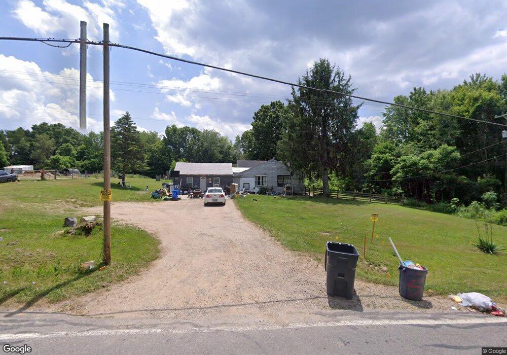
1926 106th Ave Otsego, MI 49078
Estimated Value: $172,000 - $204,000
3
Beds
1
Bath
1,350
Sq Ft
$142/Sq Ft
Est. Value
About This Home
This home is located at 1926 106th Ave, Otsego, MI 49078 and is currently estimated at $192,200, approximately $142 per square foot. 1926 106th Ave is a home located in Allegan County with nearby schools including Otsego High School, Otsego Christian Academy, and St. Margaret School.
Ownership History
Date
Name
Owned For
Owner Type
Purchase Details
Closed on
Aug 13, 2024
Sold by
Ruth Dale
Bought by
Stater Angela Marie
Current Estimated Value
Purchase Details
Closed on
Nov 13, 2020
Sold by
Moore Roberta A
Bought by
Ruth Thomas E and Ruth Lori
Purchase Details
Closed on
Oct 1, 1990
Sold by
Moore Roberta A
Bought by
"Ruth
Purchase Details
Closed on
Oct 1, 1984
Sold by
Lee Vilas
Bought by
Roberta Moore
Create a Home Valuation Report for This Property
The Home Valuation Report is an in-depth analysis detailing your home's value as well as a comparison with similar homes in the area
Home Values in the Area
Average Home Value in this Area
Purchase History
| Date | Buyer | Sale Price | Title Company |
|---|---|---|---|
| Stater Angela Marie | -- | None Listed On Document | |
| Ruth Thomas E | -- | None Available | |
| "Ruth | $54,900 | -- | |
| Roberta Moore | $47,000 | -- |
Source: Public Records
Tax History Compared to Growth
Tax History
| Year | Tax Paid | Tax Assessment Tax Assessment Total Assessment is a certain percentage of the fair market value that is determined by local assessors to be the total taxable value of land and additions on the property. | Land | Improvement |
|---|---|---|---|---|
| 2025 | $50 | $69,100 | $15,200 | $53,900 |
| 2024 | $1,720 | $61,800 | $15,100 | $46,700 |
| 2023 | $1,740 | $52,600 | $13,300 | $39,300 |
| 2022 | $1,720 | $49,000 | $13,400 | $35,600 |
| 2021 | $1,633 | $46,900 | $12,600 | $34,300 |
| 2020 | $1,642 | $41,800 | $11,400 | $30,400 |
| 2019 | $1,585 | $38,600 | $9,500 | $29,100 |
| 2018 | $1,557 | $32,900 | $8,500 | $24,400 |
| 2017 | $0 | $38,300 | $11,700 | $26,600 |
| 2016 | $0 | $34,400 | $9,200 | $25,200 |
| 2015 | -- | $34,400 | $9,200 | $25,200 |
| 2014 | $1,769 | $29,800 | $7,900 | $21,900 |
| 2013 | $1,769 | $42,700 | $8,500 | $34,200 |
Source: Public Records
Map
Nearby Homes
- 589 Lincoln Rd
- 552 19th St
- 602 Lincoln Rd
- 2108 Fox Mountain Dr
- 0 Lincoln Rd
- 624 Nicholson St
- 843 20th St
- 722 River Rd
- 365 W Orleans St
- 0 Briarwood St Unit 25002251
- 1711 108th Ave
- 346 W Orleans St
- 849 18th St
- 301 Helen Ave
- 233 W Hammond St
- 132 W River St
- 1431 Michigan 89
- 828 N 16th St
- 2331 105th Ave
- 2044 110th Ave