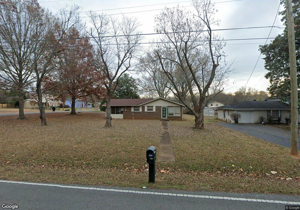
1926 Battleground Dr Murfreesboro, TN 37129
Estimated Value: $251,697 - $353,000
Studio
1
Bath
1,100
Sq Ft
$277/Sq Ft
Est. Value
About This Home
This home is located at 1926 Battleground Dr, Murfreesboro, TN 37129 and is currently estimated at $304,174, approximately $276 per square foot. 1926 Battleground Dr is a home located in Rutherford County with nearby schools including Mitchell-Neilson Elementary, Siegel Middle School, and Siegel High School.
Ownership History
Date
Name
Owned For
Owner Type
Purchase Details
Closed on
Jul 30, 2001
Sold by
Harrell Edith S
Bought by
Amanda Harrell Mary
Current Estimated Value
Create a Home Valuation Report for This Property
The Home Valuation Report is an in-depth analysis detailing your home's value as well as a comparison with similar homes in the area
Home Values in the Area
Average Home Value in this Area
Purchase History
| Date | Buyer | Sale Price | Title Company |
|---|---|---|---|
| Amanda Harrell Mary | -- | -- |
Source: Public Records
Tax History
| Year | Tax Paid | Tax Assessment Tax Assessment Total Assessment is a certain percentage of the fair market value that is determined by local assessors to be the total taxable value of land and additions on the property. | Land | Improvement |
|---|---|---|---|---|
| 2025 | $1,576 | $55,700 | $13,750 | $41,950 |
| 2024 | $1,576 | $55,700 | $13,750 | $41,950 |
| 2023 | $1,045 | $55,700 | $13,750 | $41,950 |
| 2022 | $900 | $55,700 | $13,750 | $41,950 |
| 2021 | $852 | $38,400 | $8,750 | $29,650 |
| 2020 | $852 | $38,400 | $8,750 | $29,650 |
| 2019 | $852 | $38,400 | $8,750 | $29,650 |
| 2018 | $1,171 | $38,400 | $0 | $0 |
| 2017 | $1,002 | $25,775 | $0 | $0 |
| 2016 | $1,002 | $25,775 | $0 | $0 |
| 2015 | $1,002 | $25,775 | $0 | $0 |
| 2014 | $641 | $25,775 | $0 | $0 |
| 2013 | -- | $24,500 | $0 | $0 |
Source: Public Records
Map
Nearby Homes
- 1436 Cheshire Place
- 1922 Shelley St
- 3220 Starwood Dr
- 3730 Felipe Way
- 3511 Rockledge Way
- 301 Hilltop Ct
- 3729 Felipe Way
- 3737 Felipe Way
- 9032 Copenhagen Dr
- 1818 Battleground Dr
- 1226 Coffee Ave
- 1519 Riverview Dr
- 1310 Bass Ave
- 2232 Oakhaven Dr
- 4925 Kai Dr
- 1803 Wellington Dr
- 2515 Tinnell Ct
- 1611 White Blvd
- 2406 Bennington Dr
- 613 Rohan Dr
- 1922 Battleground Dr
- 1923 Shelley St
- 2002 Battleground Dr
- 1918 Battleground Dr
- 1919 Shelley St
- 1445 Cheshire Place
- 1440 Cheshire Place
- 1443 Cheshire Place
- 1310 Elliott Dr
- 1441 Cheshire Place
- 1438 Cheshire Place
- 1438 Cheshire Place Unit 11-2
- 1915 Shelley St
- 1914 Battleground Dr
- 1402 Cambridge Dr
- 2010 Battleground Dr
- 1306 Elliott Dr
- 1406 Cambridge Dr
- 1406 Cambridge Dr Unit 147
- 1439 Cheshire Place
Your Personal Tour Guide
Ask me questions while you tour the home.