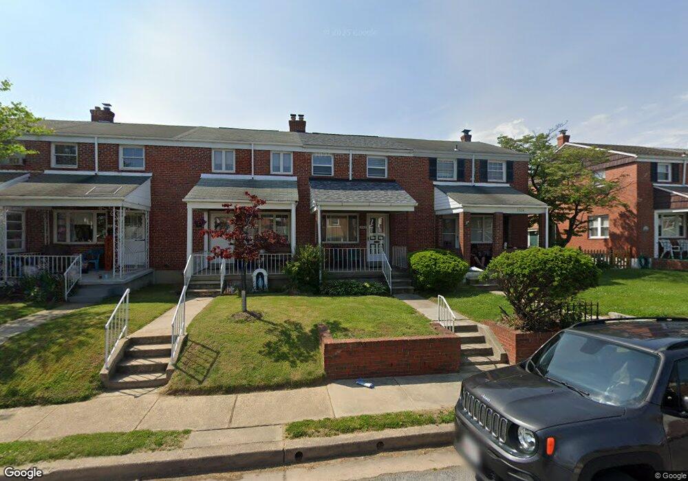
1926 Denbury Dr Dundalk, MD 21222
Estimated Value: $174,000 - $198,000
--
Bed
1
Bath
896
Sq Ft
$203/Sq Ft
Est. Value
About This Home
This home is located at 1926 Denbury Dr, Dundalk, MD 21222 and is currently estimated at $181,885, approximately $202 per square foot. 1926 Denbury Dr is a home located in Baltimore County with nearby schools including Grange Elementary School, General John Stricker Middle School, and Patapsco High & Center for Arts.
Ownership History
Date
Name
Owned For
Owner Type
Purchase Details
Closed on
Mar 2, 2018
Sold by
Mccormick April
Bought by
Mccormick Purdie
Current Estimated Value
Purchase Details
Closed on
Feb 24, 2003
Sold by
Crispin Clair L Crispin Mildred S
Bought by
Mccormick Purdie and Mccormick April
Purchase Details
Closed on
May 23, 2001
Sold by
Crispin Clair L
Bought by
Crispin Clair L Crispin Mildred S and Crispin Alan Crispin Donald C
Create a Home Valuation Report for This Property
The Home Valuation Report is an in-depth analysis detailing your home's value as well as a comparison with similar homes in the area
Home Values in the Area
Average Home Value in this Area
Purchase History
| Date | Buyer | Sale Price | Title Company |
|---|---|---|---|
| Mccormick Purdie | -- | None Available | |
| Mccormick Purdie | $80,500 | -- | |
| Crispin Clair L Crispin Mildred S | -- | -- |
Source: Public Records
Tax History Compared to Growth
Tax History
| Year | Tax Paid | Tax Assessment Tax Assessment Total Assessment is a certain percentage of the fair market value that is determined by local assessors to be the total taxable value of land and additions on the property. | Land | Improvement |
|---|---|---|---|---|
| 2025 | $2,014 | $133,267 | -- | -- |
| 2024 | $2,014 | $123,233 | $0 | $0 |
| 2023 | $982 | $113,200 | $36,000 | $77,200 |
| 2022 | $1,881 | $111,067 | $0 | $0 |
| 2021 | $1,824 | $108,933 | $0 | $0 |
| 2020 | $1,824 | $106,800 | $36,000 | $70,800 |
| 2019 | $1,749 | $106,000 | $0 | $0 |
| 2018 | $1,703 | $105,200 | $0 | $0 |
| 2017 | $1,809 | $104,400 | $0 | $0 |
| 2016 | $1,721 | $104,400 | $0 | $0 |
| 2015 | $1,721 | $104,400 | $0 | $0 |
| 2014 | $1,721 | $120,500 | $0 | $0 |
Source: Public Records
Map
Nearby Homes
- 2743 Kirkleigh Rd
- 1940 Wareham Rd
- 1935 Stanhope Rd
- 2746 Moorgate Rd
- 2738 Moorgate Rd
- 7807 Rockbourne Rd
- 7252 Meadow Ln
- 1894 Church Rd
- 9 Vista Mobile Dr
- 7839 Harold Rd
- 1940H Robinwood Rd
- 1907 Wills Rd
- 1914 Armco Way
- 2007 Dineen Dr
- 2953 Yorkway
- 1943 Dineen Dr
- 2970 Yorkway
- 1614 Lynch Rd
- 3135 Sollers Point Rd
- 7518 Lawrence Rd
- 1928 Denbury Dr
- 1924 Denbury Dr
- 1930 Denbury Dr
- 1932 Denbury Dr
- 1922 Denbury Dr
- 1934 Denbury Dr
- 1920 Denbury Dr
- 1918 Denbury Dr
- 1936 Denbury Dr
- 1916 Denbury Dr
- 1927 Holborn Rd
- 1929 Holborn Rd
- 1925 Holborn Rd
- 1931 Holborn Rd
- 1923 Holborn Rd
- 1933 Holborn Rd
- 1914 Denbury Dr
- 1921 Holborn Rd
- 1938 Denbury Dr
- 1919 Holborn Rd