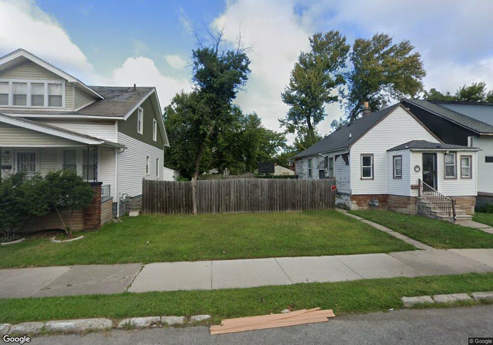
1926 S Electric St Detroit, MI 48217
Boynton NeighborhoodEstimated Value: $52,000 - $77,000
--
Bed
1
Bath
1,020
Sq Ft
$65/Sq Ft
Est. Value
About This Home
This home is located at 1926 S Electric St, Detroit, MI 48217 and is currently estimated at $66,003, approximately $64 per square foot. 1926 S Electric St is a home located in Wayne County with nearby schools including Mark Twain Elementary-Middle School, Charles L. Spain Elementary-Middle School, and Edward 'Duke' Ellington Conservatory of Music and Art.
Ownership History
Date
Name
Owned For
Owner Type
Purchase Details
Closed on
Jul 16, 2014
Sold by
The City Of Detroit
Bought by
The Detroit Land Bank Authority
Current Estimated Value
Purchase Details
Closed on
Jan 6, 2011
Sold by
Wojtowicz Raymond J
Bought by
Planning & Development Dept City Of Detr
Purchase Details
Closed on
May 29, 1997
Sold by
Turner Art and Turner Bob
Bought by
Taylor Art
Purchase Details
Closed on
Oct 19, 1994
Sold by
Shrf Clarence D Jones Pr
Bought by
Federal National Mortgage Association
Create a Home Valuation Report for This Property
The Home Valuation Report is an in-depth analysis detailing your home's value as well as a comparison with similar homes in the area
Home Values in the Area
Average Home Value in this Area
Purchase History
| Date | Buyer | Sale Price | Title Company |
|---|---|---|---|
| The Detroit Land Bank Authority | -- | None Available | |
| Planning & Development Dept City Of Detr | -- | None Available | |
| Taylor Art | $2,800 | -- | |
| Federal National Mortgage Association | $6,790 | -- |
Source: Public Records
Tax History Compared to Growth
Tax History
| Year | Tax Paid | Tax Assessment Tax Assessment Total Assessment is a certain percentage of the fair market value that is determined by local assessors to be the total taxable value of land and additions on the property. | Land | Improvement |
|---|---|---|---|---|
| 2025 | -- | $11,300 | $0 | $0 |
| 2024 | -- | $0 | $0 | $0 |
| 2023 | $0 | $0 | $0 | $0 |
| 2022 | $0 | $0 | $0 | $0 |
| 2021 | $0 | $0 | $0 | $0 |
| 2020 | $0 | $0 | $0 | $0 |
| 2019 | $1,060 | $0 | $0 | $0 |
| 2018 | $0 | $0 | $0 | $0 |
| 2017 | -- | $0 | $0 | $0 |
| 2016 | $240 | $0 | $0 | $0 |
| 2015 | -- | $0 | $0 | $0 |
| 2013 | $1,060 | $0 | $0 | $0 |
| 2010 | -- | $23,137 | $478 | $22,659 |
Source: Public Records
Map
Nearby Homes
- 2400 S Annabelle St
- 2601 S Fort St
- 1520 S Beatrice St
- 1501 S Annabelle St
- 2544 S Beatrice St
- 1483 S Annabelle St
- 12836 Conway St
- 1415 S Liddesdale St
- 2580 S Schaefer Hwy
- 412 Campbell St
- 2908 S Edsel St
- 465 Campbell St
- 2623 S Bassett St
- 518 Campbell St
- 522 Campbell St
- 491 Frazier St
- 2900 S Ethel St
- 2906 S Ethel St
- 315 Beechwood St
- 537 Campbell St
- 1920 S Electric St
- 1932 S Electric St
- 1916 S Electric St
- 1938 S Electric St
- 1944 S Electric St
- 1910 S Electric St
- 1921 S Edsel St
- 1950 S Electric St
- 1911 S Edsel St
- 1933 S Edsel St
- 1901 S Edsel St
- 1927 S Edsel St
- 1897 S Edsel St
- 1890 S Electric St
- 1891 S Edsel St
- 1884 S Electric St
- 1885 S Edsel St
- 1951 S Edsel St
- 1927 S Electric St
- 2100 S Electric St