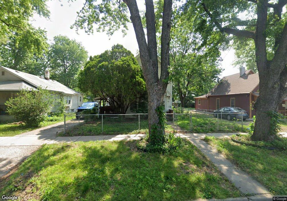
1926 SW Central Park Ave Topeka, KS 66604
Chesney Park NeighborhoodEstimated Value: $64,512 - $100,000
4
Beds
1
Bath
1,608
Sq Ft
$52/Sq Ft
Est. Value
About This Home
This home is located at 1926 SW Central Park Ave, Topeka, KS 66604 and is currently estimated at $84,378, approximately $52 per square foot. 1926 SW Central Park Ave is a home located in Shawnee County with nearby schools including Robinson Middle School, Topeka High School, and Mater Dei Catholic School.
Ownership History
Date
Name
Owned For
Owner Type
Purchase Details
Closed on
Oct 22, 2015
Sold by
Plamann Richard E and Plamann Penelope A
Bought by
Richard E & Penelope A Plamann Trust
Current Estimated Value
Purchase Details
Closed on
Apr 6, 2006
Sold by
Wilson Gordon and Gordon Lillian M
Bought by
Plamann Richard E and Plamann Penelope A
Home Financials for this Owner
Home Financials are based on the most recent Mortgage that was taken out on this home.
Original Mortgage
$39,960
Outstanding Balance
$22,778
Interest Rate
6.22%
Mortgage Type
New Conventional
Estimated Equity
$61,600
Create a Home Valuation Report for This Property
The Home Valuation Report is an in-depth analysis detailing your home's value as well as a comparison with similar homes in the area
Home Values in the Area
Average Home Value in this Area
Purchase History
| Date | Buyer | Sale Price | Title Company |
|---|---|---|---|
| Richard E & Penelope A Plamann Trust | -- | None Available | |
| Plamann Richard E | -- | Capital Title Insurance Comp |
Source: Public Records
Mortgage History
| Date | Status | Borrower | Loan Amount |
|---|---|---|---|
| Open | Plamann Richard E | $39,960 |
Source: Public Records
Tax History Compared to Growth
Tax History
| Year | Tax Paid | Tax Assessment Tax Assessment Total Assessment is a certain percentage of the fair market value that is determined by local assessors to be the total taxable value of land and additions on the property. | Land | Improvement |
|---|---|---|---|---|
| 2025 | $847 | $6,900 | -- | -- |
| 2023 | $847 | $6,200 | $0 | $0 |
| 2022 | $804 | $5,794 | $0 | $0 |
| 2021 | $797 | $5,267 | $0 | $0 |
| 2020 | $714 | $4,797 | $0 | $0 |
| 2019 | $703 | $4,703 | $0 | $0 |
| 2018 | $682 | $4,566 | $0 | $0 |
| 2017 | $684 | $4,566 | $0 | $0 |
| 2014 | $804 | $5,269 | $0 | $0 |
Source: Public Records
Map
Nearby Homes
- 1912 SW Buchanan St
- 1907 SW Buchanan St
- 2058 SW Buchanan St
- 918 SW 17th St
- 1700 SW Buchanan St
- 1822 SW Lane St
- 1637 SW Fillmore St
- 2129 SW Buchanan St
- 1630 SW Buchanan St
- 1620 SW Clay St
- 1610 SW Central Park Ave
- 1015 SW 16th St
- 1532 SW Western Ave
- 1415 SW Fillmore St
- 1501-1599 SW 17th St
- 0 SW Buchanan St
- 1504 SW Polk St
- 1647 SW 21st St
- 1531 SW 15th St
- 1527 SW Mulvane St
- 1924 SW Central Park Ave
- 1930 SW Central Park Ave
- 1932 SW Central Park Ave
- 1914 SW Central Park Ave
- 1927 SW Fillmore St
- 1923 SW Fillmore St
- 1931 SW Fillmore St
- 1919 SW Fillmore St
- 1908 SW Central Park Ave
- 1935 SW Fillmore St
- 1925 SW Central Park Ave
- 1927 SW Central Park Ave
- 1915 SW Fillmore St
- 1923 SW Central Park Ave
- 2000 SW Central Park Ave
- 1919 SW Central Park Ave
- 1935 SW Central Park Ave
- 1906 SW Central Park Ave
- 1915 SW Central Park Ave
- 2004 SW Central Park Ave