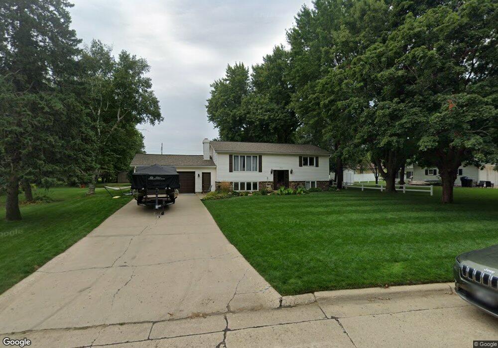
1926 W 10th St Spencer, IA 51301
Estimated Value: $262,000 - $325,000
4
Beds
2
Baths
1,120
Sq Ft
$253/Sq Ft
Est. Value
About This Home
This home is located at 1926 W 10th St, Spencer, IA 51301 and is currently estimated at $283,847, approximately $253 per square foot. 1926 W 10th St is a home located in Clay County with nearby schools including Johnson Elementary School, Fairview Park Elementary School, and Lincoln Elementary School.
Ownership History
Date
Name
Owned For
Owner Type
Purchase Details
Closed on
Jul 11, 2013
Sold by
Homan Michael S and Homan Janice M
Bought by
Nicolay Andrew J and Nicolay Emma J
Current Estimated Value
Home Financials for this Owner
Home Financials are based on the most recent Mortgage that was taken out on this home.
Original Mortgage
$171,000
Outstanding Balance
$124,290
Interest Rate
3.91%
Mortgage Type
New Conventional
Estimated Equity
$159,557
Create a Home Valuation Report for This Property
The Home Valuation Report is an in-depth analysis detailing your home's value as well as a comparison with similar homes in the area
Home Values in the Area
Average Home Value in this Area
Purchase History
| Date | Buyer | Sale Price | Title Company |
|---|---|---|---|
| Nicolay Andrew J | $180,000 | None Available |
Source: Public Records
Mortgage History
| Date | Status | Borrower | Loan Amount |
|---|---|---|---|
| Open | Nicolay Andrew J | $171,000 |
Source: Public Records
Tax History Compared to Growth
Tax History
| Year | Tax Paid | Tax Assessment Tax Assessment Total Assessment is a certain percentage of the fair market value that is determined by local assessors to be the total taxable value of land and additions on the property. | Land | Improvement |
|---|---|---|---|---|
| 2025 | $3,688 | $258,450 | $63,100 | $195,350 |
| 2024 | $3,688 | $240,550 | $56,090 | $184,460 |
| 2023 | $3,558 | $240,550 | $56,090 | $184,460 |
| 2022 | $3,442 | $217,960 | $56,090 | $161,870 |
| 2021 | $3,446 | $201,580 | $56,090 | $145,490 |
| 2020 | $3,446 | $191,570 | $49,080 | $142,490 |
| 2019 | $3,044 | $174,460 | $0 | $0 |
| 2018 | $2,994 | $174,460 | $0 | $0 |
| 2017 | $2,994 | $170,790 | $0 | $0 |
| 2016 | $3,040 | $170,790 | $0 | $0 |
| 2015 | $2,766 | $156,250 | $0 | $0 |
| 2014 | $2,682 | $156,250 | $0 | $0 |
Source: Public Records
Map
Nearby Homes
- 1305 18th Ave W
- 1322 Country Club Dr
- 1321 Country Club Dr
- 906 Country Club Ln
- 1523 18th Ave W
- 1512 17th Ave W
- 1804 22nd Ave W
- 1227 W 4th St
- 1130 W 7th St
- 1808 22nd Ave W
- 1809 22nd Ave W
- 1812 22nd Ave W
- 1813 22nd Ave W
- 1901 20th Ave W
- 1900 22nd Ave W
- 2002 20th Ave W
- 2008 W 20th St
- 2102 W 20th St
- 1905 20th Ave W
- 1906 22nd Ave W
- 1920 W 10th St
- 2010 W 10th St
- 1925 W 10th St Unit 1
- 2001 W 10th St Unit 4
- 916 Country Club Dr
- 1921 W 10th St Unit 3
- 2003 W 10th St Unit 3
- 1919 W 10th St Unit 4
- 2005 W 10th St Unit 2
- 2007 W 10th St Unit 1
- 1911 W 10th St
- 1908 W 10th St
- 1003 Country Club Dr
- 1007 Country Club Dr
- 904 Country Club Dr
- 1909 W 10th St
- 1907 W 10th St
- 1905 W 10th St
- 1900 W 10th St
- 2105 W 10th St