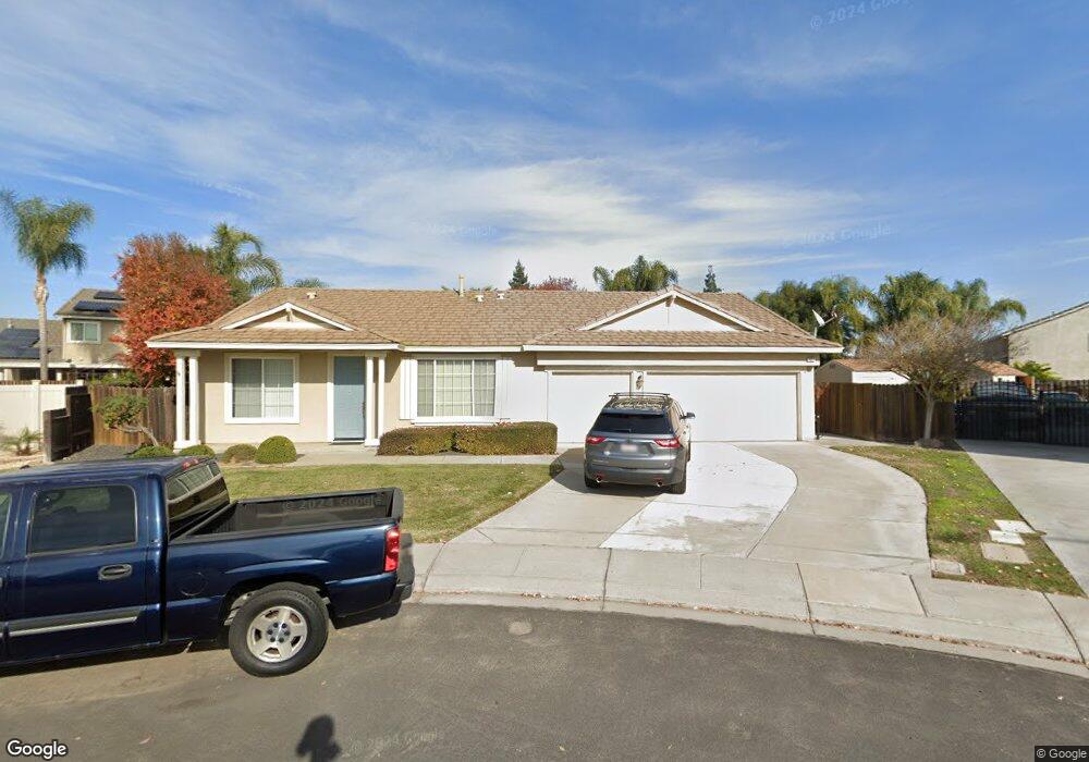
1927 Apollo Ct Manteca, CA 95336
Estimated Value: $503,000 - $659,467
4
Beds
2
Baths
2,221
Sq Ft
$267/Sq Ft
Est. Value
About This Home
This home is located at 1927 Apollo Ct, Manteca, CA 95336 and is currently estimated at $592,867, approximately $266 per square foot. 1927 Apollo Ct is a home located in San Joaquin County with nearby schools including Joshua Cowell Elementary School, Manteca High School, and St. Anthony's Catholic School.
Ownership History
Date
Name
Owned For
Owner Type
Purchase Details
Closed on
Jul 26, 2023
Sold by
Garner James and Garner Sandra
Bought by
Garner Family Trust and Garner
Current Estimated Value
Purchase Details
Closed on
Jul 19, 2001
Sold by
West Coast Home Builders Inc
Bought by
Garner James and Garner Sandra
Home Financials for this Owner
Home Financials are based on the most recent Mortgage that was taken out on this home.
Original Mortgage
$261,000
Interest Rate
7.15%
Create a Home Valuation Report for This Property
The Home Valuation Report is an in-depth analysis detailing your home's value as well as a comparison with similar homes in the area
Purchase History
| Date | Buyer | Sale Price | Title Company |
|---|---|---|---|
| Garner Family Trust | -- | None Listed On Document | |
| Garner James | $326,500 | Old Republic Title Company |
Source: Public Records
Mortgage History
| Date | Status | Borrower | Loan Amount |
|---|---|---|---|
| Previous Owner | Garner James | $261,000 | |
| Closed | Garner James | $33,000 |
Source: Public Records
Tax History
| Year | Tax Paid | Tax Assessment Tax Assessment Total Assessment is a certain percentage of the fair market value that is determined by local assessors to be the total taxable value of land and additions on the property. | Land | Improvement |
|---|---|---|---|---|
| 2025 | $6,408 | $512,716 | $143,288 | $369,428 |
| 2024 | $6,249 | $502,664 | $140,479 | $362,185 |
| 2023 | $6,181 | $492,809 | $137,725 | $355,084 |
| 2022 | $6,099 | $483,147 | $135,025 | $348,122 |
| 2021 | $6,040 | $473,675 | $132,378 | $341,297 |
| 2020 | $5,825 | $468,819 | $131,021 | $337,798 |
| 2019 | $5,758 | $459,627 | $128,452 | $331,175 |
| 2018 | $5,691 | $450,616 | $125,934 | $324,682 |
| 2017 | $5,188 | $403,000 | $113,000 | $290,000 |
| 2016 | $5,167 | $403,000 | $109,000 | $294,000 |
| 2014 | $4,257 | $333,000 | $93,000 | $240,000 |
Source: Public Records
Map
Nearby Homes
- 1815 Azure Ct
- 277 Garden Circle Dr E
- 150 Pestana Ave Unit 124
- 150 Pestana Ave Unit 99
- 2030 Hyannis Cir
- 17600 S Austin Rd
- 309 Lovell Way
- 461 Walcott St
- 715 Bobcat Ln
- 1830 E Yosemite Ave Unit 7
- 1830 E Yosemite Ave
- 1830 E Yosemite Ave Unit 4
- 1250 Slayton Dr
- 1560 Snapdragon Way
- 123 E Highway 120
- 1058 Spring Meadow Dr
- 311 Charles Ave
- 1253 E Louise Ave
- 1152 Laureto St
- 9115 Southland Rd
- 1935 E Apollo Ct
- 1948 Basil Dr
- 1935 Apollo Ct
- 1919 Apollo Ct
- 1960 Basil Dr
- 1940 Basil Dr
- 1949 Valenzuela Ct
- 1957 Valenzuela Ct
- 1926 Apollo Ct
- 1926 E Basil Dr
- 1926 Basil Dr
- 1972 Basil Dr
- 382 Pestana Ave
- 358 Pestana Ave
- 1956 Valenzuela Ct
- 390 Pestana Ave
- 1951 Basil Dr
- 1943 E Basil Dr
- 1943 Basil Dr
- 1980 Basil Dr
Your Personal Tour Guide
Ask me questions while you tour the home.