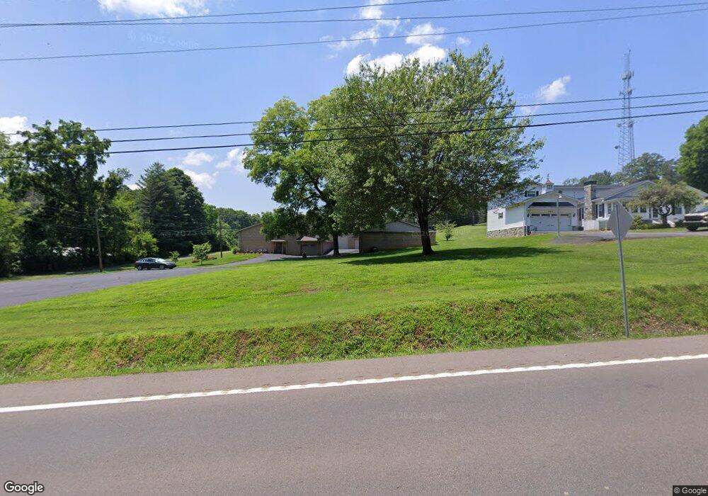
1927 Highway 92 N New Market, TN 37820
Estimated Value: $308,631 - $502,000
--
Bed
1
Bath
2,160
Sq Ft
$185/Sq Ft
Est. Value
About This Home
This home is located at 1927 Highway 92 N, New Market, TN 37820 and is currently estimated at $400,408, approximately $185 per square foot. 1927 Highway 92 N is a home located in Jefferson County with nearby schools including Jefferson Montessori School and Heritage Christian Academy.
Ownership History
Date
Name
Owned For
Owner Type
Purchase Details
Closed on
Mar 28, 2019
Sold by
Gowman Bethann G
Bought by
Hawk W J and Hawk Martha
Current Estimated Value
Purchase Details
Closed on
Jun 22, 2000
Sold by
Shooting Shop Inc The
Bought by
Hawk W J
Purchase Details
Closed on
Dec 27, 1986
Bought by
Shooting Shop Inc The
Purchase Details
Closed on
Dec 27, 1985
Purchase Details
Closed on
Dec 12, 1969
Create a Home Valuation Report for This Property
The Home Valuation Report is an in-depth analysis detailing your home's value as well as a comparison with similar homes in the area
Home Values in the Area
Average Home Value in this Area
Purchase History
| Date | Buyer | Sale Price | Title Company |
|---|---|---|---|
| Hawk W J | $15,000 | Jefferson Title Inc | |
| Hawk W J | -- | -- | |
| Shooting Shop Inc The | -- | -- | |
| -- | -- | -- | |
| -- | -- | -- |
Source: Public Records
Tax History Compared to Growth
Tax History
| Year | Tax Paid | Tax Assessment Tax Assessment Total Assessment is a certain percentage of the fair market value that is determined by local assessors to be the total taxable value of land and additions on the property. | Land | Improvement |
|---|---|---|---|---|
| 2025 | $1,119 | $76,400 | $8,175 | $68,225 |
| 2023 | $1,119 | $48,650 | $0 | $0 |
| 2022 | $1,065 | $48,650 | $7,525 | $41,125 |
| 2021 | $1,065 | $48,650 | $7,525 | $41,125 |
| 2020 | $1,065 | $48,650 | $7,525 | $41,125 |
| 2019 | $994 | $48,650 | $7,525 | $41,125 |
| 2018 | $997 | $42,425 | $4,250 | $38,175 |
| 2017 | $997 | $42,425 | $4,250 | $38,175 |
| 2016 | $997 | $42,425 | $4,250 | $38,175 |
| 2015 | $997 | $42,425 | $4,250 | $38,175 |
| 2014 | $997 | $42,425 | $4,250 | $38,175 |
Source: Public Records
Map
Nearby Homes
- 1806 Paul Dr
- 1835 Paul Dr
- 1330 Collins Rd
- 162 Lakeshore Bay
- 178 Lakeshore Bay Dr
- 182 Lakeshore Bay Dr
- 179 Lakeshore Bay Dr
- 174 Lakeshore Bay Dr
- 0 Eagle Ridge Ln
- 1825 Burnette Ave
- 903 Julianne Dr
- 1681 Mill Springs Rd
- 848 Navajo Dr
- 1916 N Sizer Ave
- 819 Navajo Dr
- 547 W Highway 11e
- 1403 Skyline Dr
- Tract 9 W Old Aj Hwy
- 812 Piney Hills Dr
- Lot 2 Stansberry Dr
- 1921 N Highway 92
- 1921 N Hwy 92
- 1921 N Highway 92
- 1935 N Highway 92
- 1915 N Highway 92
- 1218 Groseclose Rd
- 1220 Groseclose Rd
- 1216 Groseclose Rd
- 1219 Ashwood Dr
- 1210 Ashwood Dr
- 1906 Highway 92 N
- 1352 Woodpointe Dr
- 2104 Ridgewood Dr
- 1222 Groseclose Rd
- 1227 Ashwood Dr
- 2091 Ridgewood Dr
- 1361 Woodpointe Dr
- 2082 Ridgewood Dr
- 1354 Woodpointe Dr
- 1233 Groseclose Rd