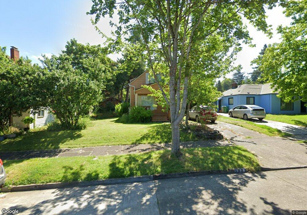
1927 Lawrence St Eugene, OR 97405
Friendly NeighborhoodEstimated Value: $443,565 - $591,000
3
Beds
2
Baths
1,320
Sq Ft
$373/Sq Ft
Est. Value
About This Home
This home is located at 1927 Lawrence St, Eugene, OR 97405 and is currently estimated at $492,891, approximately $373 per square foot. 1927 Lawrence St is a home located in Lane County with nearby schools including Adams Elementary School, Roosevelt Middle School, and South Eugene High School.
Ownership History
Date
Name
Owned For
Owner Type
Purchase Details
Closed on
Jul 26, 2005
Sold by
Locke Jere S
Bought by
Miller Michael P and Larsen Todd C
Current Estimated Value
Home Financials for this Owner
Home Financials are based on the most recent Mortgage that was taken out on this home.
Original Mortgage
$162,000
Outstanding Balance
$82,935
Interest Rate
5.46%
Mortgage Type
Fannie Mae Freddie Mac
Estimated Equity
$409,956
Create a Home Valuation Report for This Property
The Home Valuation Report is an in-depth analysis detailing your home's value as well as a comparison with similar homes in the area
Home Values in the Area
Average Home Value in this Area
Purchase History
| Date | Buyer | Sale Price | Title Company |
|---|---|---|---|
| Miller Michael P | $216,000 | Western Pioneer Title |
Source: Public Records
Mortgage History
| Date | Status | Borrower | Loan Amount |
|---|---|---|---|
| Open | Miller Michael P | $162,000 |
Source: Public Records
Tax History
| Year | Tax Paid | Tax Assessment Tax Assessment Total Assessment is a certain percentage of the fair market value that is determined by local assessors to be the total taxable value of land and additions on the property. | Land | Improvement |
|---|---|---|---|---|
| 2025 | $4,140 | $212,479 | -- | -- |
| 2024 | $4,088 | $206,291 | -- | -- |
| 2023 | $4,088 | $200,283 | $0 | $0 |
| 2022 | $3,830 | $194,450 | $0 | $0 |
| 2021 | $3,597 | $188,787 | $0 | $0 |
| 2020 | $3,610 | $183,289 | $0 | $0 |
| 2019 | $3,487 | $177,951 | $0 | $0 |
| 2018 | $3,282 | $167,736 | $0 | $0 |
| 2017 | $3,134 | $167,736 | $0 | $0 |
| 2016 | $3,007 | $162,850 | $0 | $0 |
| 2015 | $2,909 | $158,107 | $0 | $0 |
| 2014 | $2,871 | $153,502 | $0 | $0 |
Source: Public Records
Map
Nearby Homes
- 557 W 19th Ave
- 2096 Charnelton St
- 2031 Olive St
- 1673 Olive Aly
- 0 Monroe St Unit 343774498
- 171 E 20th Ave
- 177 E 20th Ave
- 1924 Friendly St
- 181 Civic Dr
- 193 E 20th Ave
- 537 W 14th Ave
- 1313 Lincoln St Unit 503
- 1313 Lincoln St Unit 308
- 1313 Lincoln St Unit 1005
- 1313 Lincoln St Unit 401
- 1857 Pearl St
- 1375 Olive St Unit 503
- 1600 Pearl St Unit 608
- 1492 Pearl St
- 1275 Jefferson St
- 1945 Lawrence St
- 1913 Lawrence St
- 390 W 19th Ave Unit 390 W. 19th unit 1
- 362 W 19th Ave
- 340 W 19th Ave
- 1957 Lawrence St
- 1944 Lincoln St
- 1975 Lawrence St
- 1895 Lawrence St
- 1928 Lincoln St
- 355 W 19th Ave
- 310 W 19th Ave
- 1960 Lincoln St
- 341 W 19th Ave
- 1877 Lawrence St
- 1991 Lawrence St
- 1980 Lincoln St
- 1892 Lawrence St
- 1874 Lincoln St
- 1990 Lincoln St
Your Personal Tour Guide
Ask me questions while you tour the home.