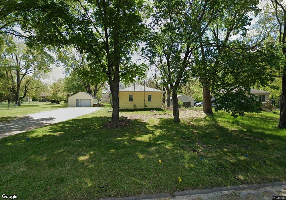
1927 Robin Rd Waterloo, IA 50701
Estimated Value: $138,000 - $158,000
2
Beds
1
Bath
838
Sq Ft
$174/Sq Ft
Est. Value
About This Home
This home is located at 1927 Robin Rd, Waterloo, IA 50701 and is currently estimated at $145,950, approximately $174 per square foot. 1927 Robin Rd is a home located in Black Hawk County with nearby schools including Becker Elementary School, Central Middle School, and West High School.
Ownership History
Date
Name
Owned For
Owner Type
Purchase Details
Closed on
Jan 3, 2013
Sold by
Curran Rebecca K and Curran James P
Bought by
Trustee Of The Rebecca K Curran Family and The Rebecca K Curran Family Trust
Current Estimated Value
Purchase Details
Closed on
Nov 29, 2012
Sold by
Hsbc Bank Usa Na
Bought by
Curran Rebecca K
Purchase Details
Closed on
Jun 20, 2012
Sold by
Suzanne Stahl and Young Brock H
Bought by
Hsbc Bank Usa Na
Create a Home Valuation Report for This Property
The Home Valuation Report is an in-depth analysis detailing your home's value as well as a comparison with similar homes in the area
Home Values in the Area
Average Home Value in this Area
Purchase History
| Date | Buyer | Sale Price | Title Company |
|---|---|---|---|
| Trustee Of The Rebecca K Curran Family | -- | None Available | |
| Curran Rebecca K | $50,000 | None Available | |
| Hsbc Bank Usa Na | $84,266 | None Available |
Source: Public Records
Tax History Compared to Growth
Tax History
| Year | Tax Paid | Tax Assessment Tax Assessment Total Assessment is a certain percentage of the fair market value that is determined by local assessors to be the total taxable value of land and additions on the property. | Land | Improvement |
|---|---|---|---|---|
| 2024 | $2,786 | $128,380 | $37,700 | $90,680 |
| 2023 | $2,374 | $128,380 | $37,700 | $90,680 |
| 2022 | $2,310 | $108,080 | $37,700 | $70,380 |
| 2021 | $2,284 | $108,080 | $37,700 | $70,380 |
| 2020 | $2,248 | $100,870 | $31,900 | $68,970 |
| 2019 | $2,248 | $100,870 | $31,900 | $68,970 |
| 2018 | $2,248 | $100,870 | $31,900 | $68,970 |
| 2017 | $2,238 | $100,870 | $31,900 | $68,970 |
| 2016 | $2,210 | $97,420 | $31,900 | $65,520 |
| 2015 | $2,210 | $97,420 | $31,900 | $65,520 |
| 2014 | $2,252 | $97,420 | $31,900 | $65,520 |
Source: Public Records
Map
Nearby Homes
- 1711 Huntington Rd
- 1290 Scott Ave
- 1269 Scott Ave
- 1325 Huntington Rd
- 1268 Saint Andrews Ave
- 1248 Scott Ave
- 1240 Eleanor Dr
- 1225 Downing Ave
- 1221 Downing Ave
- 1200 St Andrews Ave
- 3816 Monterey Dr
- 2033 Casper Ave
- 1137 Fleur Dr
- 410 Parkhaven Dr
- 104 Bergen Dr
- 102 Bergen Dr
- 4019 Matthew Dr
- Lot 3 Matthew Dr
- Lot 2 Matthew Dr
- 2320 University Ave