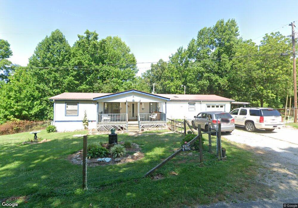
1927 Terry Rd Oneida, TN 37841
Estimated Value: $200,000 - $249,000
Studio
2
Baths
1,456
Sq Ft
$154/Sq Ft
Est. Value
About This Home
This home is located at 1927 Terry Rd, Oneida, TN 37841 and is currently estimated at $224,254, approximately $154 per square foot. 1927 Terry Rd is a home located in Scott County with nearby schools including Oneida Elementary School, Oneida Middle School, and Oneida High School.
Ownership History
Date
Name
Owned For
Owner Type
Purchase Details
Closed on
Jul 7, 2006
Sold by
Byrge Julie E
Bought by
Williamson Lynn A
Current Estimated Value
Purchase Details
Closed on
May 26, 2006
Sold by
Byrge Julie E
Bought by
Green Tree Servicing Llc
Purchase Details
Closed on
Feb 19, 2004
Bought by
Byrge Julie E
Purchase Details
Closed on
Feb 13, 1995
Bought by
Byrge Julie E
Purchase Details
Closed on
Jan 27, 1993
Bought by
Queener Alva G and Queener Maxine
Purchase Details
Closed on
Feb 7, 1986
Bought by
Martin Willard and Martin Janet
Purchase Details
Closed on
May 7, 1974
Bought by
Jones Arnold and Jones Thelma J
Create a Home Valuation Report for This Property
The Home Valuation Report is an in-depth analysis detailing your home's value as well as a comparison with similar homes in the area
Home Values in the Area
Average Home Value in this Area
Purchase History
| Date | Buyer | Sale Price | Title Company |
|---|---|---|---|
| Williamson Lynn A | $50,000 | -- | |
| Green Tree Servicing Llc | $26,000 | -- | |
| Byrge Julie E | -- | -- | |
| Byrge Julie E | $60,900 | -- | |
| Queener Alva G | $7,500 | -- | |
| Martin Willard | -- | -- | |
| Jones Arnold | -- | -- |
Source: Public Records
Tax History
| Year | Tax Paid | Tax Assessment Tax Assessment Total Assessment is a certain percentage of the fair market value that is determined by local assessors to be the total taxable value of land and additions on the property. | Land | Improvement |
|---|---|---|---|---|
| 2025 | $1,042 | $33,375 | $4,800 | $28,575 |
| 2024 | $1,042 | $33,375 | $4,800 | $28,575 |
| 2023 | $1,072 | $33,375 | $4,800 | $28,575 |
| 2022 | $909 | $20,425 | $4,150 | $16,275 |
| 2021 | $775 | $20,425 | $4,150 | $16,275 |
| 2020 | $579 | $20,425 | $4,150 | $16,275 |
| 2019 | $781 | $19,600 | $4,150 | $15,450 |
| 2018 | $781 | $19,600 | $4,150 | $15,450 |
| 2017 | $838 | $21,025 | $4,150 | $16,875 |
| 2016 | $819 | $21,025 | $4,150 | $16,875 |
| 2015 | $793 | $21,025 | $4,150 | $16,875 |
| 2014 | $793 | $21,025 | $4,150 | $16,875 |
Source: Public Records
Map
Nearby Homes
- 120 Wright St
- 103 Shelton Ln
- 420 Southern Ln
- 126 Pullman Ln
- 226 Keeton Ln
- 1600 Paint Rock Rd
- 35 Buffalo Rd
- 0 Marlow St Unit 1321095
- 121 Sexton Ln
- 108 W 1st Ave
- 5821 Buffalo Rd
- 605 S Lake Dr Unit A
- 605 S Lake Dr
- 18741 Alberta St
- 201 Grand Pappy Ln
- 342 Vine Ave
- 942 W 3rd Ave
- 125 Walnut Ln
- 216 Lafayette St
- 458 Slaven Ln
Your Personal Tour Guide
Ask me questions while you tour the home.