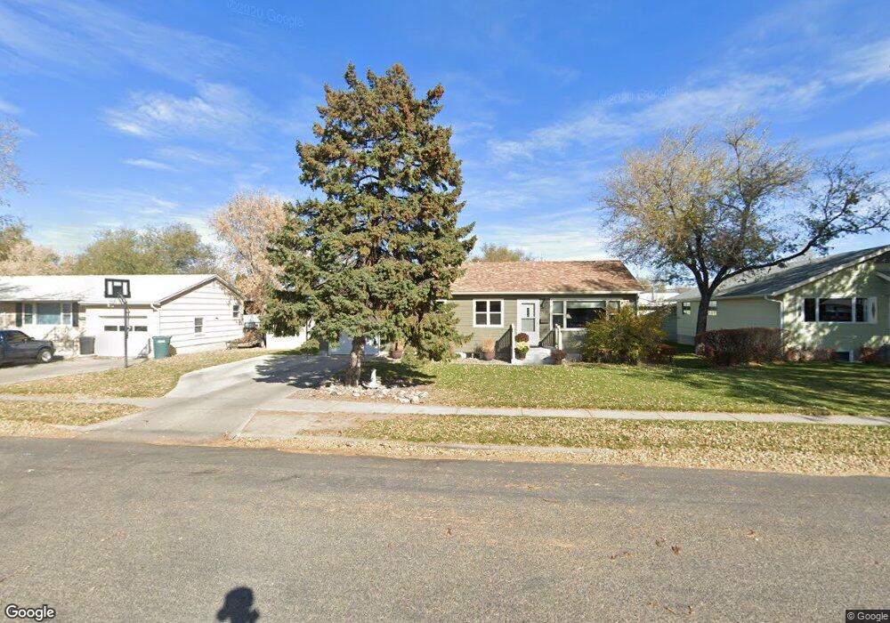
1929 Custer Ave Billings, MT 59102
West End NeighborhoodEstimated Value: $307,000 - $354,000
4
Beds
2
Baths
1,768
Sq Ft
$189/Sq Ft
Est. Value
About This Home
This home is located at 1929 Custer Ave, Billings, MT 59102 and is currently estimated at $334,948, approximately $189 per square foot. 1929 Custer Ave is a home located in Yellowstone County with nearby schools including Miles Avenue School, Will James Junior High School, and Billings West High School.
Ownership History
Date
Name
Owned For
Owner Type
Purchase Details
Closed on
May 4, 2022
Sold by
Friend Charles J
Bought by
Rumage Seth and Rumage Katrina
Current Estimated Value
Home Financials for this Owner
Home Financials are based on the most recent Mortgage that was taken out on this home.
Original Mortgage
$262,160
Outstanding Balance
$245,462
Interest Rate
4.42%
Mortgage Type
New Conventional
Estimated Equity
$89,486
Create a Home Valuation Report for This Property
The Home Valuation Report is an in-depth analysis detailing your home's value as well as a comparison with similar homes in the area
Home Values in the Area
Average Home Value in this Area
Purchase History
| Date | Buyer | Sale Price | Title Company |
|---|---|---|---|
| Rumage Seth | -- | Stewart Title Guaranty Company |
Source: Public Records
Mortgage History
| Date | Status | Borrower | Loan Amount |
|---|---|---|---|
| Open | Rumage Seth | $262,160 |
Source: Public Records
Tax History
| Year | Tax Paid | Tax Assessment Tax Assessment Total Assessment is a certain percentage of the fair market value that is determined by local assessors to be the total taxable value of land and additions on the property. | Land | Improvement |
|---|---|---|---|---|
| 2025 | $2,845 | $321,900 | $52,000 | $269,900 |
| 2024 | $2,845 | $294,000 | $48,687 | $245,313 |
| 2023 | $2,849 | $294,000 | $48,687 | $245,313 |
| 2022 | $2,379 | $213,700 | $0 | $0 |
| 2021 | $2,265 | $213,700 | $0 | $0 |
| 2020 | $2,312 | $209,700 | $0 | $0 |
| 2019 | $2,206 | $209,700 | $0 | $0 |
| 2018 | $1,977 | $182,900 | $0 | $0 |
| 2017 | $1,921 | $182,900 | $0 | $0 |
| 2016 | $1,726 | $165,400 | $0 | $0 |
| 2015 | $1,689 | $174,700 | $0 | $0 |
| 2014 | $1,466 | $75,631 | $0 | $0 |
Source: Public Records
Map
Nearby Homes
- 523 Hewitt Dr
- 2037 Custer Ave
- 1824 Yellowstone Ave
- 1736 Broadwater Ave
- 430 Nelson Dr
- 605 Nelson Dr
- 2020 Lewis Ave
- 1102 19th St W
- 2206 Hewitt Dr
- 2205 Yellowstone Ave
- 16 19th St W
- 1903 Belvedere Dr
- 15 S Crestwood Dr
- 0 Wyatt Cir Unit 356590
- 419 Mervin St
- 109 16th St W
- 117 Birchwood Dr
- 1837 Avenue B
- 1021 25th St W
- 2521 Custer Ave
- 1925 Custer Ave
- 1933 Custer Ave
- 1922 Broadwater Ave
- 1939 Custer Ave
- 1921 Custer Ave
- 1926 Broadwater Ave
- 1940 Custer Ave
- 1935 Hewitt Dr
- 1938 Broadwater Ave
- 1945 Custer Ave
- 1944 Custer Ave
- 2026 Broadwater Ave
- 515 Glee Place
- 1948 Custer Ave
- 1951 Custer Ave
- 1941 Hewitt Dr
- 1902 Custer Ave
- 2034 Broadwater Ave
- 1921 Broadwater Ave
- 1919 Broadwater Ave
Your Personal Tour Guide
Ask me questions while you tour the home.