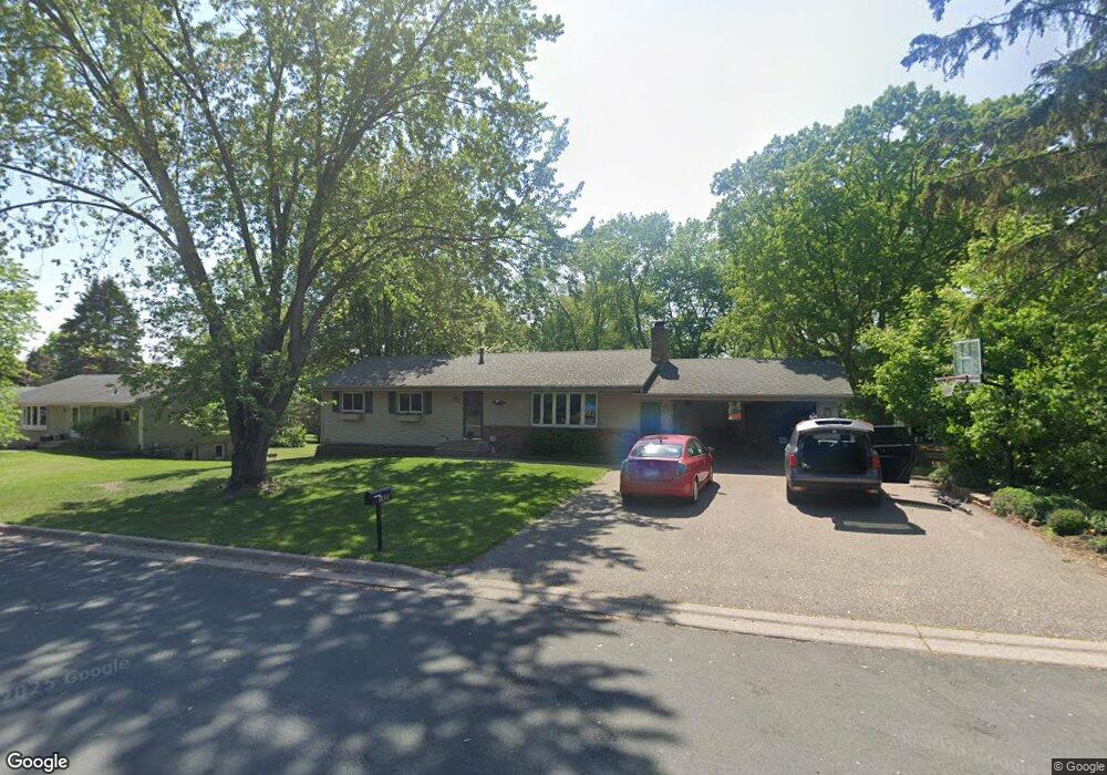
1929 Knob Rd Saint Paul, MN 55118
Estimated Value: $520,744 - $675,000
About This Home
This home is located at 1929 Knob Rd, Saint Paul, MN 55118 and is currently estimated at $575,436, approximately $391 per square foot. 1929 Knob Rd is a home located in Dakota County with nearby schools including Somerset Elementary School, Heritage E-STEM Magnet School, and Two Rivers High School.
Ownership History
We collect this data history from publicly available records. To have your information removed, we recommend requesting removal directly through your county’s website.
Purchase Details
Home Financials for this Owner
Home Financials are based on the most recent Mortgage that was taken out on this home.Home Values in the Area
Average Home Value in this Area
Purchase History
We collect this data history from publicly available records. To have your information removed, we recommend requesting removal directly through your county’s website.
| Date | Buyer | Sale Price | Title Company |
|---|---|---|---|
| $348,500 | Dca Title |
Mortgage History
We collect this data history from publicly available records. To have your information removed, we recommend requesting removal directly through your county’s website.
| Date | Status | Borrower | Loan Amount |
|---|---|---|---|
| Open | $331,075 |
Tax History
We collect this data history from publicly available records. To have your information removed, we recommend requesting removal directly through your county’s website.
| Year | Tax Paid | Tax Assessment Tax Assessment Total Assessment is a certain percentage of the fair market value that is determined by local assessors to be the total taxable value of land and additions on the property. | Land | Improvement |
|---|---|---|---|---|
| 2025 | $4,424 | $452,300 | $124,500 | $327,800 |
| 2024 | $4,078 | $452,700 | $119,900 | $332,800 |
| 2023 | $4,078 | $438,500 | $117,200 | $321,300 |
| 2022 | $3,748 | $456,800 | $117,000 | $339,800 |
| 2021 | $3,454 | $377,700 | $101,700 | $276,000 |
| 2020 | $3,538 | $346,000 | $96,900 | $249,100 |
| 2019 | $3,343 | $341,900 | $92,300 | $249,600 |
| 2018 | $3,153 | $309,700 | $86,200 | $223,500 |
| 2017 | $3,433 | $303,700 | $82,100 | $221,600 |
| 2016 | $3,070 | $294,600 | $78,200 | $216,400 |
| 2015 | $3,161 | $251,501 | $74,245 | $177,256 |
| 2014 | -- | $248,885 | $69,972 | $178,913 |
| 2013 | -- | $241,037 | $67,600 | $173,437 |
Map
- 1918 South Ln
- 585 High Ridge Cir
- 620 Callahan Place
- 719 Spring Creek Cir
- 614 Hidden Creek Trail
- 717 Marie Ave W
- 700 Hidden Creek Trail
- 685 Hidden Creek Trail
- 784 Hilltop Ct
- 1940 Wachtler Ave
- 1756 Delaware Ave
- 1933 Charlton St
- 2123 Fox Place
- 707 Evergreen Knolls
- 688 Wentworth Ave W
- 2194 Charlton Rd
- 2158 Charlton Rd
- 269 Edgewood Ln
- 782 Evergreen Knolls
- 1948 Crown Point Dr
- 1937 Knob Rd
- 1919 Knob Rd
- 1934 Knob Rd
- 1926 South Ln
- 1920 Knob Rd
- 1947 Knob Rd
- 1948 Knob Rd
- 1940 South Ln
- 1911 Knob Rd
- 1910 Knob Rd
- 600 High Ridge Cir
- 1912 South Ln
- 1954 Knob Rd
- 596 High Ridge Cir
- 1946 South Ln
- 604 High Ridge Cir
- 604 604 High Ridge Cir
- 1957 Knob Rd
- 19xx South Ln
- 701 Sibley Ct Unit 10
Ask me questions while you tour the home.