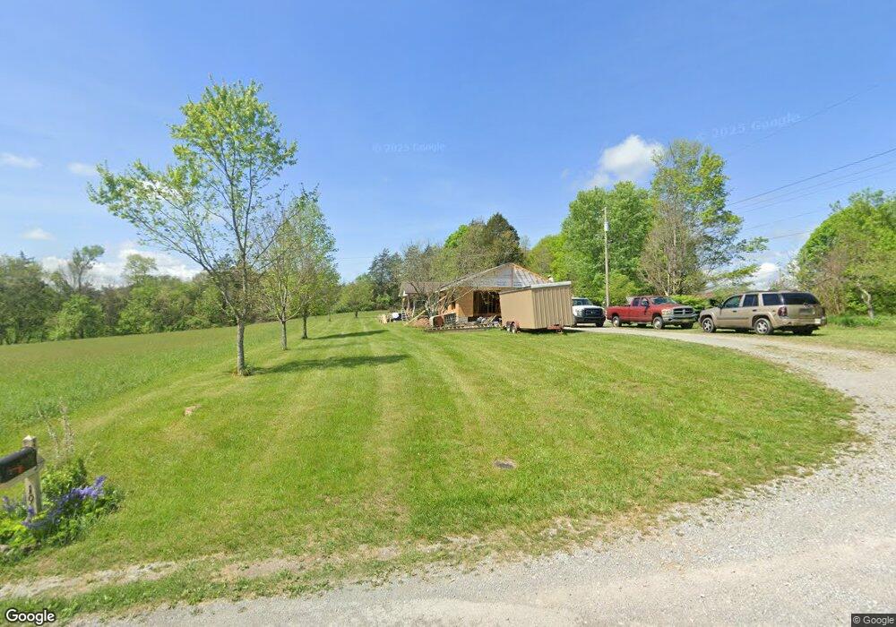
193 Ball Cir Tazewell, TN 37879
Estimated Value: $162,000 - $248,000
--
Bed
2
Baths
1,363
Sq Ft
$144/Sq Ft
Est. Value
About This Home
This home is located at 193 Ball Cir, Tazewell, TN 37879 and is currently estimated at $196,220, approximately $143 per square foot. 193 Ball Cir is a home located in Claiborne County.
Ownership History
Date
Name
Owned For
Owner Type
Purchase Details
Closed on
Dec 21, 2005
Sold by
Eddins Brenda Newby
Bought by
Eddins Steven A
Current Estimated Value
Purchase Details
Closed on
Nov 17, 2005
Sold by
Eddins Steven
Bought by
Eddins Steven A
Purchase Details
Closed on
Jan 30, 2003
Sold by
Mabe Charlie
Bought by
Eddins Steven
Home Financials for this Owner
Home Financials are based on the most recent Mortgage that was taken out on this home.
Original Mortgage
$46,246
Interest Rate
5.95%
Purchase Details
Closed on
Mar 25, 1997
Sold by
Earls David and Earls Melinda
Bought by
Mabe Charlie
Purchase Details
Closed on
Jul 14, 1995
Bought by
Earls David and Earls Melinda
Purchase Details
Closed on
Mar 24, 1995
Sold by
Earls David
Bought by
Earls David
Purchase Details
Closed on
Mar 21, 1979
Bought by
Earls David and Earls Melinda
Purchase Details
Closed on
Jan 1, 1977
Bought by
Earls David
Create a Home Valuation Report for This Property
The Home Valuation Report is an in-depth analysis detailing your home's value as well as a comparison with similar homes in the area
Home Values in the Area
Average Home Value in this Area
Purchase History
| Date | Buyer | Sale Price | Title Company |
|---|---|---|---|
| Eddins Steven A | -- | -- | |
| Eddins Steven A | $68,900 | -- | |
| Eddins Steven | $30,000 | -- | |
| Mabe Charlie | $60,000 | -- | |
| Earls David | $600 | -- | |
| Earls David | $600 | -- | |
| Earls David | -- | -- | |
| Earls David | -- | -- |
Source: Public Records
Mortgage History
| Date | Status | Borrower | Loan Amount |
|---|---|---|---|
| Previous Owner | Earls David | $46,246 |
Source: Public Records
Tax History Compared to Growth
Tax History
| Year | Tax Paid | Tax Assessment Tax Assessment Total Assessment is a certain percentage of the fair market value that is determined by local assessors to be the total taxable value of land and additions on the property. | Land | Improvement |
|---|---|---|---|---|
| 2024 | $823 | $35,150 | $2,100 | $33,050 |
| 2023 | $823 | $35,150 | $2,100 | $33,050 |
| 2022 | $703 | $35,150 | $2,100 | $33,050 |
| 2021 | $650 | $25,225 | $1,500 | $23,725 |
| 2020 | $650 | $25,225 | $1,500 | $23,725 |
| 2019 | $650 | $25,225 | $1,500 | $23,725 |
| 2018 | $650 | $25,225 | $1,500 | $23,725 |
| 2017 | $650 | $25,225 | $1,500 | $23,725 |
| 2016 | $678 | $26,275 | $1,500 | $24,775 |
| 2015 | $652 | $26,275 | $1,500 | $24,775 |
| 2014 | $652 | $26,275 | $0 | $0 |
Source: Public Records
Map
Nearby Homes
- 141 Mattie Ln
- 0 Bailey Cemetery Rd Unit 1311109
- 5.74 acres Bailey Cemetary Rd
- L-2 Cedar Fork Rd
- 5.74 acres Bailey Cemetery Rd
- 1562 Cave Springs Rd
- 370 Vannoy Rd
- 324 Vannoy Rd
- 323 Vannoy Rd
- 159 Emory Ln
- 227 Southern Ln
- 158 Dudley Cir
- 118AC Mill Hollow Rd
- 3023 Cave Springs Rd
- 0 Buchanan Ridge Rd
- 430 Mcvey Rd
- 328 Wilson Hurst St
- 404 Cedar Fork Rd
- 136 Dudley Ln
- 330 Wilson Hurst St