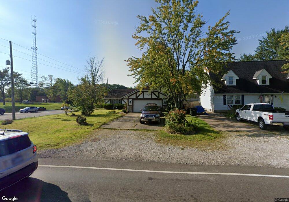
193 Burns Rd Elyria, OH 44035
Estimated Value: $258,278 - $303,000
4
Beds
2
Baths
1,992
Sq Ft
$143/Sq Ft
Est. Value
About This Home
This home is located at 193 Burns Rd, Elyria, OH 44035 and is currently estimated at $284,570, approximately $142 per square foot. 193 Burns Rd is a home located in Lorain County with nearby schools including Windsor Elementary School, Westwood Middle School, and Elyria High School.
Ownership History
Date
Name
Owned For
Owner Type
Purchase Details
Closed on
Nov 1, 2021
Sold by
Beard Mary Ann
Bought by
Walther James T
Current Estimated Value
Purchase Details
Closed on
Jul 13, 2019
Sold by
Estate Of Curtis C Beard
Bought by
Carmen Carol and Beard Family Trust
Create a Home Valuation Report for This Property
The Home Valuation Report is an in-depth analysis detailing your home's value as well as a comparison with similar homes in the area
Home Values in the Area
Average Home Value in this Area
Purchase History
| Date | Buyer | Sale Price | Title Company |
|---|---|---|---|
| Walther James T | -- | None Available | |
| Carmen Carol | -- | None Available |
Source: Public Records
Tax History
| Year | Tax Paid | Tax Assessment Tax Assessment Total Assessment is a certain percentage of the fair market value that is determined by local assessors to be the total taxable value of land and additions on the property. | Land | Improvement |
|---|---|---|---|---|
| 2024 | $3,756 | $76,808 | $14,847 | $61,961 |
| 2023 | $2,722 | $48,164 | $9,489 | $38,675 |
| 2022 | $2,680 | $48,164 | $9,489 | $38,675 |
| 2021 | $2,146 | $48,164 | $9,489 | $38,675 |
| 2020 | $2,131 | $42,660 | $8,400 | $34,260 |
| 2019 | $2,061 | $42,660 | $8,400 | $34,260 |
| 2018 | $2,203 | $42,660 | $8,400 | $34,260 |
| 2017 | $2,341 | $45,590 | $16,070 | $29,520 |
| 2016 | $2,311 | $45,590 | $16,070 | $29,520 |
| 2015 | $2,164 | $45,590 | $16,070 | $29,520 |
| 2014 | $2,179 | $46,290 | $16,320 | $29,970 |
| 2013 | $2,158 | $46,290 | $16,320 | $29,970 |
Source: Public Records
Map
Nearby Homes
- 223 Naples Dr
- 372 Briar Lake Dr
- 257 Windward Dr
- 117 Woodview Dr
- 236 Northfield Dr
- 110 Edgefield Dr
- 165 Meadow Dr
- 308 Loyola Dr
- 208 Alexander Dr
- 220 Alexander Dr
- 727 Fairwood Blvd
- 714 Hammer Ct
- 556 Eldemire Ln
- 114 Timberlane Dr
- 837 Jamestown Ave
- 145 Crestview Dr
- 897 Livermore Ln
- 5441 Fountain Cir
- 39292 Camelot Way
- 926 Sherwood Dr
- 189 Burns Rd
- 127 Woodcrest Ct
- 185 Burns Rd
- 198 Burns Rd Unit 12B
- 134 Woodcrest Ct
- 196 Burns Rd
- 176 Burns Rd
- 115 Woodcrest Ct
- 175 Burns Rd
- 178 Burns Rd Unit 2B
- 128 Woodcrest Ct
- 194 Burns Rd
- 192 Burns Rd Unit 9A
- 114 Hillcrest Ln
- 171 Burns Rd
- 120 Woodcrest Ct
- 174 Burns Rd
- 120 Hillcrest Ln
- 180 Burns Rd
- 190 Burns Rd
Your Personal Tour Guide
Ask me questions while you tour the home.