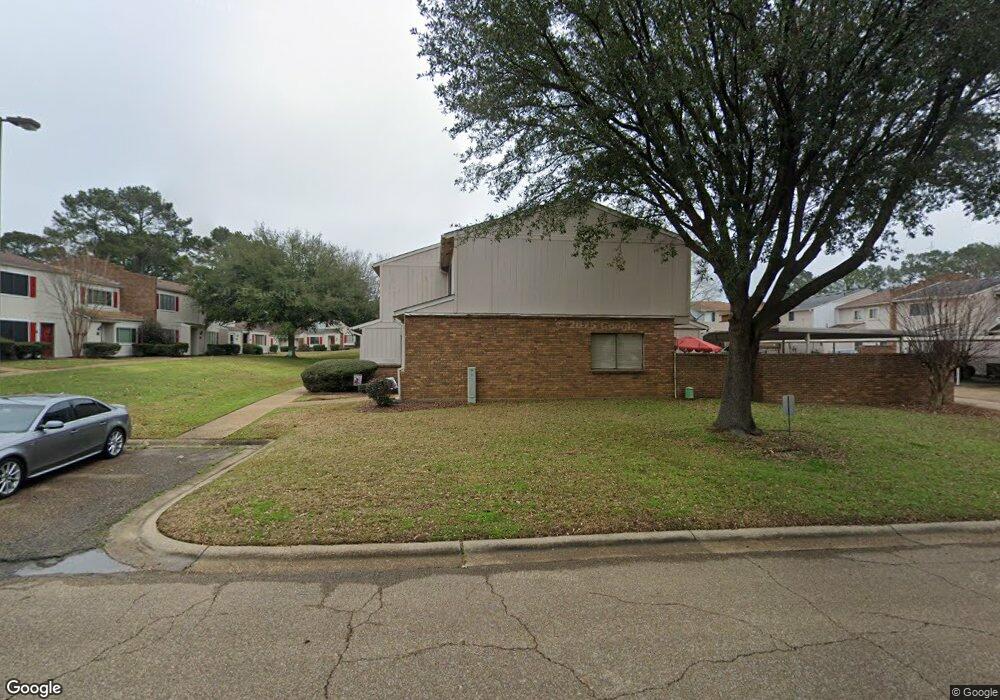
193 Lakebend Cir Brandon, MS 39042
Estimated Value: $170,000 - $198,000
3
Beds
3
Baths
1,446
Sq Ft
$126/Sq Ft
Est. Value
About This Home
This home is located at 193 Lakebend Cir, Brandon, MS 39042 and is currently estimated at $182,168, approximately $125 per square foot. 193 Lakebend Cir is a home located in Rankin County with nearby schools including Rouse Elementary School, Brandon Elementary School, and Stonebridge Elementary School.
Ownership History
Date
Name
Owned For
Owner Type
Purchase Details
Closed on
Jan 29, 2021
Sold by
Bailey Cynthia
Bought by
Hall Kenneth O Hall and Hall Ami Bumpus
Current Estimated Value
Home Financials for this Owner
Home Financials are based on the most recent Mortgage that was taken out on this home.
Original Mortgage
$86,250
Outstanding Balance
$77,101
Interest Rate
2.67%
Mortgage Type
New Conventional
Estimated Equity
$105,067
Purchase Details
Closed on
Jun 19, 2014
Sold by
William Steven William Steven
Bought by
Bailey Cynthia
Create a Home Valuation Report for This Property
The Home Valuation Report is an in-depth analysis detailing your home's value as well as a comparison with similar homes in the area
Home Values in the Area
Average Home Value in this Area
Purchase History
| Date | Buyer | Sale Price | Title Company |
|---|---|---|---|
| Hall Kenneth O Hall | -- | None Listed On Document | |
| Bailey Cynthia | -- | -- |
Source: Public Records
Mortgage History
| Date | Status | Borrower | Loan Amount |
|---|---|---|---|
| Open | Hall Kenneth O Hall | $86,250 | |
| Closed | Hall Kenneth O Hall | $86,250 |
Source: Public Records
Tax History Compared to Growth
Tax History
| Year | Tax Paid | Tax Assessment Tax Assessment Total Assessment is a certain percentage of the fair market value that is determined by local assessors to be the total taxable value of land and additions on the property. | Land | Improvement |
|---|---|---|---|---|
| 2024 | $1,787 | $13,688 | $0 | $0 |
| 2023 | $1,502 | $11,511 | $0 | $0 |
| 2022 | $1,485 | $11,511 | $0 | $0 |
| 2021 | $690 | $7,674 | $0 | $0 |
| 2020 | $690 | $7,674 | $0 | $0 |
| 2019 | $632 | $6,934 | $0 | $0 |
| 2018 | $618 | $6,934 | $0 | $0 |
| 2017 | $618 | $6,934 | $0 | $0 |
| 2016 | $566 | $7,024 | $0 | $0 |
| 2015 | $1,273 | $7,024 | $0 | $0 |
| 2014 | $1,250 | $10,536 | $0 | $0 |
| 2013 | -- | $10,536 | $0 | $0 |
Source: Public Records
Map
Nearby Homes
- 189 Lakebend Cir
- 192 Lakebend Cir
- 426 Lakebend Place
- 367 Lakebend Dr
- 26 Woodgate Dr
- 168 Pleasant Grove Dr
- 117 Springtree Dr
- 11 Terrapin Hill Rd S
- 22 Fox Glen Cove
- 69 Terrapin Dr
- 79 Terrapin Dr
- 70 Crossgates Dr
- 14 Eastgate Ct
- 000 Boyce Thompson Dr
- 60 Summit Ridge Dr
- 48 Sandlewood Dr
- 0 Cross Park Dr
- 107 Woodgate Dr
- 225 Burnham Rd
- 36 Pebble Hill Dr
- 191 Lakebend Cir
- 195 Lakebend Cir
- 199 Lakebend Cir
- 197 Lakebend Cir
- 207 Lakebend Cir
- 203 Lakebend Cir
- 209 Lakebend Cir
- 205 Lakebend Cir
- 201 Lakebend Cir
- 181 Lakebend Cir
- 187 Lakebend Cir
- 177 Lakebend Cir
- 185 Lakebend Cir
- 183 Lakebend Cir
- 179 Lakebend Cir
- 219 Lakebend Cir
- 217 Lakebend Cir
- 215 Lakebend Cir
- 165 Lakebend Cir
- 213 Lakebend Cir