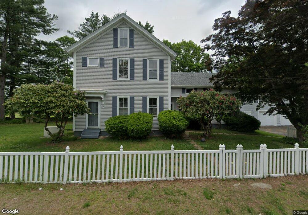
193 Route 165 Preston, CT 06365
Estimated Value: $371,117 - $473,000
4
Beds
2
Baths
2,220
Sq Ft
$191/Sq Ft
Est. Value
About This Home
This home is located at 193 Route 165, Preston, CT 06365 and is currently estimated at $423,529, approximately $190 per square foot. 193 Route 165 is a home located in New London County with nearby schools including Integrated Day Charter School, St. Joseph School, and St. Patrick Cathedral School.
Ownership History
Date
Name
Owned For
Owner Type
Purchase Details
Closed on
Mar 5, 1980
Bought by
Whitlock Robert and Whitlock Bonnie C
Current Estimated Value
Create a Home Valuation Report for This Property
The Home Valuation Report is an in-depth analysis detailing your home's value as well as a comparison with similar homes in the area
Home Values in the Area
Average Home Value in this Area
Purchase History
| Date | Buyer | Sale Price | Title Company |
|---|---|---|---|
| Whitlock Robert | $59,500 | -- |
Source: Public Records
Mortgage History
| Date | Status | Borrower | Loan Amount |
|---|---|---|---|
| Closed | Whitlock Robert | $0 | |
| Closed | Whitlock Robert | $20,000 | |
| Closed | Whitlock Robert | $65,000 |
Source: Public Records
Tax History
| Year | Tax Paid | Tax Assessment Tax Assessment Total Assessment is a certain percentage of the fair market value that is determined by local assessors to be the total taxable value of land and additions on the property. | Land | Improvement |
|---|---|---|---|---|
| 2025 | $4,760 | $189,560 | $48,020 | $141,540 |
| 2024 | $4,430 | $189,560 | $48,020 | $141,540 |
| 2023 | $4,350 | $189,560 | $48,020 | $141,540 |
| 2022 | $3,775 | $135,400 | $39,300 | $96,100 |
| 2021 | $3,648 | $135,400 | $39,300 | $96,100 |
| 2020 | $3,564 | $132,500 | $39,300 | $93,200 |
| 2019 | $3,502 | $132,500 | $39,300 | $93,200 |
| 2018 | $3,449 | $132,500 | $39,300 | $93,200 |
| 2017 | $3,473 | $144,700 | $40,500 | $104,200 |
| 2016 | $3,437 | $144,700 | $40,500 | $104,200 |
| 2015 | $3,328 | $144,700 | $40,500 | $104,200 |
| 2014 | $3,348 | $144,700 | $40,500 | $104,200 |
Source: Public Records
Map
Nearby Homes
- 19 Cedarcrest Dr
- 59 Long Society Rd
- 1 Long Society Rd
- 32 Krug Rd
- 7 Carver Ave
- 31 Branch Hill Rd
- 15 Tunnel Hill Ct Unit LOT 9
- 79 Roosevelt Ave
- 168 Corning Rd
- 296 Hamilton Ave Unit 30
- 296 Hamilton Ave Unit 25
- 625 N Main St Unit 627
- 381 Route 164
- 406 Central Ave Unit 408
- 303 Central Ave
- 294 Central Ave
- 29 Mckay St
- 47 8th St
- 556 Boswell Ave
- 57 NW Corner Rd
Your Personal Tour Guide
Ask me questions while you tour the home.