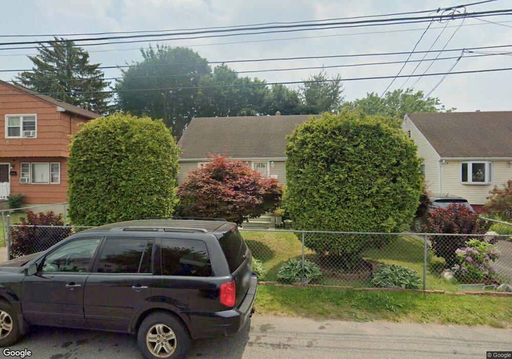
193 Shell St Bridgeport, CT 06605
Black Rock NeighborhoodEstimated Value: $391,733 - $414,000
3
Beds
2
Baths
1,152
Sq Ft
$348/Sq Ft
Est. Value
About This Home
This home is located at 193 Shell St, Bridgeport, CT 06605 and is currently estimated at $401,433, approximately $348 per square foot. 193 Shell St is a home located in Fairfield County with nearby schools including Bassick High School, Great Oaks Charter School Bridgeport, and Catholic Academy of Bridgeport-St. Ann Academy.
Ownership History
Date
Name
Owned For
Owner Type
Purchase Details
Closed on
Jul 1, 1996
Sold by
Berkeley Federal B & T
Bought by
Foster Jacqueline E
Current Estimated Value
Home Financials for this Owner
Home Financials are based on the most recent Mortgage that was taken out on this home.
Original Mortgage
$55,550
Interest Rate
8.05%
Mortgage Type
Unknown
Create a Home Valuation Report for This Property
The Home Valuation Report is an in-depth analysis detailing your home's value as well as a comparison with similar homes in the area
Home Values in the Area
Average Home Value in this Area
Purchase History
| Date | Buyer | Sale Price | Title Company |
|---|---|---|---|
| Foster Jacqueline E | $56,000 | -- | |
| Foster Jacqueline E | $56,000 | -- |
Source: Public Records
Mortgage History
| Date | Status | Borrower | Loan Amount |
|---|---|---|---|
| Open | Foster Jacqueline E | $50,000 | |
| Open | Foster Jacqueline E | $200,000 | |
| Closed | Foster Jacqueline E | $88,000 | |
| Closed | Foster Jacqueline E | $55,550 |
Source: Public Records
Tax History
| Year | Tax Paid | Tax Assessment Tax Assessment Total Assessment is a certain percentage of the fair market value that is determined by local assessors to be the total taxable value of land and additions on the property. | Land | Improvement |
|---|---|---|---|---|
| 2025 | $6,569 | $151,190 | $77,910 | $73,280 |
| 2024 | $6,569 | $151,190 | $77,910 | $73,280 |
| 2023 | $6,569 | $151,190 | $77,910 | $73,280 |
| 2022 | $6,569 | $151,190 | $77,910 | $73,280 |
| 2021 | $6,569 | $151,190 | $77,910 | $73,280 |
| 2020 | $5,447 | $100,880 | $39,340 | $61,540 |
| 2019 | $5,447 | $100,880 | $39,340 | $61,540 |
| 2018 | $5,485 | $100,880 | $39,340 | $61,540 |
| 2017 | $5,485 | $100,880 | $39,340 | $61,540 |
| 2016 | $5,485 | $100,880 | $39,340 | $61,540 |
| 2015 | $4,558 | $108,000 | $40,460 | $67,540 |
| 2014 | $4,558 | $108,000 | $40,460 | $67,540 |
Source: Public Records
Map
Nearby Homes
- 22 Monroe St Unit 24
- 188 Monroe St Unit 190
- 78 Rowsley St Unit 4
- 25 Whittier St
- 31 Whittier St
- 78 Haddon St Unit 1
- 27 Nash Ln Unit 5
- 115 King St Unit 117
- 554 Brewster St Unit 4
- 287 Hansen Ave
- 75 Hemlock St
- 855 Brewster St Unit 857
- 132 Bennett St Unit 302
- 318 Grovers Ave
- 8-10 Jetland Place
- 165 Bennett St
- 97 Fayerweather Terrace
- 377 Midland St
- 90 Clarkson St
- 95 Bedford Ave
- 183 Shell St
- 205 Shell St
- 175 Shell St
- 173 Shell St
- 168 Ocean Ave
- 168 Ocean Ave Unit 168
- 168 Ocean Ave Unit 1
- 156 Ocean Ave
- 176 Ocean Ave
- 248 Harbor Ave
- 230 Harbor Ave
- 165 Shell St
- 136 Ocean Ave Unit 138
- 136 Ocean Ave Unit 2ND
- 146 Ocean Ave
- 180 Shell St
- 228 Harbor Ave
- 163 Shell St
- 124 Ocean Ave Unit 126
- 116 Ocean Ave Unit 118
Your Personal Tour Guide
Ask me questions while you tour the home.