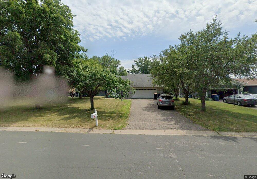
1930 13th Ave W Shakopee, MN 55379
Estimated Value: $361,000 - $388,000
3
Beds
2
Baths
1,102
Sq Ft
$342/Sq Ft
Est. Value
About This Home
This home is located at 1930 13th Ave W, Shakopee, MN 55379 and is currently estimated at $377,410, approximately $342 per square foot. 1930 13th Ave W is a home located in Scott County with nearby schools including Sweeney Elementary School, East Middle School, and Shakopee Senior High School.
Ownership History
Date
Name
Owned For
Owner Type
Purchase Details
Closed on
Aug 31, 2017
Sold by
Jimenez Guadalupe Alejandrina and Jimenez Ramirez Sabas
Bought by
Jimenez Guadalupe Alejandrina and Jimenez Ramirez Sabas
Current Estimated Value
Home Financials for this Owner
Home Financials are based on the most recent Mortgage that was taken out on this home.
Original Mortgage
$160,000
Outstanding Balance
$133,683
Interest Rate
3.92%
Mortgage Type
New Conventional
Estimated Equity
$243,727
Purchase Details
Closed on
Jan 14, 2000
Sold by
Pass Christopher J and Pass Linda K
Bought by
Rosas Nieves Huerta and Gonzalez Guadalupe A
Create a Home Valuation Report for This Property
The Home Valuation Report is an in-depth analysis detailing your home's value as well as a comparison with similar homes in the area
Home Values in the Area
Average Home Value in this Area
Purchase History
| Date | Buyer | Sale Price | Title Company |
|---|---|---|---|
| Jimenez Guadalupe Alejandrina | -- | Dca Title | |
| Rosas Nieves Huerta | $142,500 | -- |
Source: Public Records
Mortgage History
| Date | Status | Borrower | Loan Amount |
|---|---|---|---|
| Open | Jimenez Guadalupe Alejandrina | $160,000 |
Source: Public Records
Tax History Compared to Growth
Tax History
| Year | Tax Paid | Tax Assessment Tax Assessment Total Assessment is a certain percentage of the fair market value that is determined by local assessors to be the total taxable value of land and additions on the property. | Land | Improvement |
|---|---|---|---|---|
| 2025 | $3,244 | $330,800 | $175,600 | $155,200 |
| 2024 | $3,316 | $322,100 | $170,500 | $151,600 |
| 2023 | $3,474 | $316,700 | $167,200 | $149,500 |
| 2022 | $3,406 | $325,800 | $167,200 | $158,600 |
| 2021 | $2,826 | $277,800 | $136,000 | $141,800 |
| 2020 | $2,990 | $255,700 | $116,500 | $139,200 |
| 2019 | $2,872 | $239,900 | $102,000 | $137,900 |
| 2018 | $2,874 | $0 | $0 | $0 |
| 2016 | $2,628 | $0 | $0 | $0 |
| 2014 | -- | $0 | $0 | $0 |
Source: Public Records
Map
Nearby Homes
- 1853 Stone Meadow Blvd
- 2123 Agate Curve
- 1226 Polk St S
- 2224 Quarry Ln
- 1259 Taylor St Unit 3
- 1279 Taylor St Unit 5
- 1187 Jackson St S
- 2007 10th Ave W Unit 12
- 1813 6th Ave W
- 1690 Windigo Ln
- 816 Regent Dr
- 1861 Attenborough St
- The Ferguson Plan at Bluff View - Cottage Series
- The Edison Plan at Bluff View - Cottage Series
- The Tatum Plan at Bluff View - Cottage Series
- The Pattison Plan at Bluff View - Cottage Series
- The Harmony Plan at Bluff View - Freedom Series
- The Dover II Plan at Bluff View - Freedom Series
- The Clifton II Plan at Bluff View - Freedom Series
- The Cali Plan at Bluff View - Freedom Series
- 1960 13th Ave W
- 1900 13th Ave W
- 1301 Polk St S
- 1870 13th Ave W
- 1981 Boulder Point
- 1985 Boulder Point
- 1985 Boulder Pointe
- 1989 Boulder Point
- 1963 Boulder Point
- 1963 Boulder Pointe
- 1298 Tyler St S
- 1993 Boulder Point
- 1971 13th Ave W
- 1959 Boulder Point
- 1955 Boulder Point
- 1951 Boulder Point
- 1943 Boulder Point
- 2000 13th Ave W
- 1284 Tyler St S
- 1281 Polk St S