1930 Hallowing Point Rd Prince Frederick, MD 20678
Estimated Value: $420,000 - $481,000
--
Bed
2
Baths
1,274
Sq Ft
$355/Sq Ft
Est. Value
About This Home
This home is located at 1930 Hallowing Point Rd, Prince Frederick, MD 20678 and is currently estimated at $452,034, approximately $354 per square foot. 1930 Hallowing Point Rd is a home located in Calvert County with nearby schools including Barstow Elementary School, Calvert Middle School, and Calvert High School.
Ownership History
Date
Name
Owned For
Owner Type
Purchase Details
Closed on
Aug 31, 2007
Sold by
Harris Rick Walter
Bought by
Rogers Daniel L and Rogers Wanda M
Current Estimated Value
Home Financials for this Owner
Home Financials are based on the most recent Mortgage that was taken out on this home.
Original Mortgage
$25,000
Outstanding Balance
$15,788
Interest Rate
6.7%
Mortgage Type
Credit Line Revolving
Estimated Equity
$436,246
Purchase Details
Closed on
Aug 28, 2007
Sold by
Harris Rick Walter
Bought by
Rogers Daniel L and Rogers Wanda M
Home Financials for this Owner
Home Financials are based on the most recent Mortgage that was taken out on this home.
Original Mortgage
$25,000
Outstanding Balance
$15,788
Interest Rate
6.7%
Mortgage Type
Credit Line Revolving
Estimated Equity
$436,246
Create a Home Valuation Report for This Property
The Home Valuation Report is an in-depth analysis detailing your home's value as well as a comparison with similar homes in the area
Home Values in the Area
Average Home Value in this Area
Purchase History
| Date | Buyer | Sale Price | Title Company |
|---|---|---|---|
| Rogers Daniel L | $328,000 | -- | |
| Rogers Daniel L | $328,000 | -- |
Source: Public Records
Mortgage History
| Date | Status | Borrower | Loan Amount |
|---|---|---|---|
| Open | Rogers Daniel L | $25,000 | |
| Open | Rogers Daniel L | $155,000 | |
| Closed | Rogers Daniel L | $25,000 | |
| Closed | Rogers Daniel L | $155,000 |
Source: Public Records
Tax History Compared to Growth
Tax History
| Year | Tax Paid | Tax Assessment Tax Assessment Total Assessment is a certain percentage of the fair market value that is determined by local assessors to be the total taxable value of land and additions on the property. | Land | Improvement |
|---|---|---|---|---|
| 2025 | $4,324 | $399,100 | $0 | $0 |
| 2024 | $4,324 | $380,600 | $155,200 | $225,400 |
| 2023 | $3,994 | $363,833 | $0 | $0 |
| 2022 | $3,817 | $347,067 | $0 | $0 |
| 2021 | $3,580 | $330,300 | $155,200 | $175,100 |
| 2020 | $3,580 | $323,233 | $0 | $0 |
| 2019 | $3,519 | $316,167 | $0 | $0 |
| 2018 | $3,431 | $309,100 | $155,200 | $153,900 |
| 2017 | $3,441 | $305,933 | $0 | $0 |
| 2016 | -- | $302,767 | $0 | $0 |
| 2015 | $3,689 | $299,600 | $0 | $0 |
| 2014 | $3,689 | $299,600 | $0 | $0 |
Source: Public Records
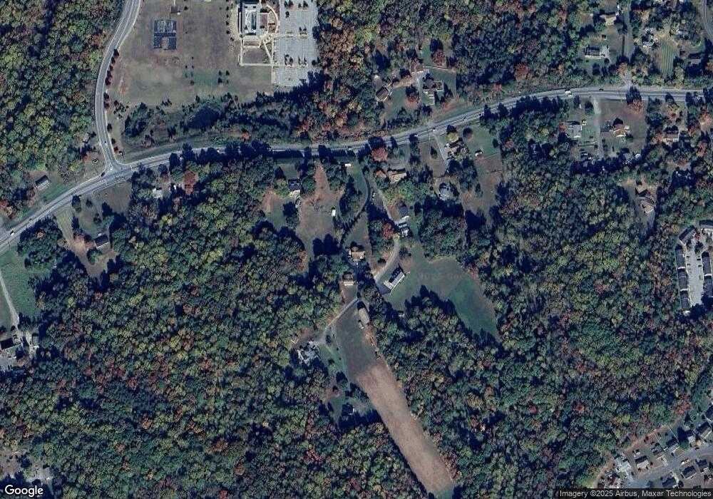
Map
Nearby Homes
- 145 Stafford Rd
- 85 Mason Rd
- 2590 Hallowing Point Rd
- 285 Stafford Rd Stafford Rd
- 240 Mason Rd
- 380 Mason Rd
- 49 Thoroughbred Dr
- 125 Polo Way
- 365 Equestrian Way
- 360 Whirlaway Dr
- 447 Dark Star Way
- The Benedict A Plan at Patuxent Commons
- The Benedict B2 Plan at Patuxent Commons
- The Benedict C Plan at Patuxent Commons
- 103 Westlake Blvd
- 185 Radio Dr
- 84 Potomac Ct
- 362 Cambridge Place
- 512 Falcon Place
- 379 Cambridge Place
- 200 Heather Rd
- 190 Heather Rd
- 1946 Hallowing Point Rd
- 1890 Hallowing Point Rd
- 1950 Hallowing Point Rd
- 1810 Hallowing Point Rd
- 195 Heather Rd
- 1800 Hallowing Point Rd
- 1835 Hallowing Point Rd
- 204 Heather Rd
- 1825 Hallowing Point Rd
- 2040 Hallowing Point Rd
- 50 Toye Ln
- 30 Toye Ln
- 2130 Hallowing Point Rd
- 40 Toye Ln
- 20 Toye Ln
- 1805 Hallowing Point Rd
- 2200 Hallowing Point Rd
- 2290 Hallowing Point Rd