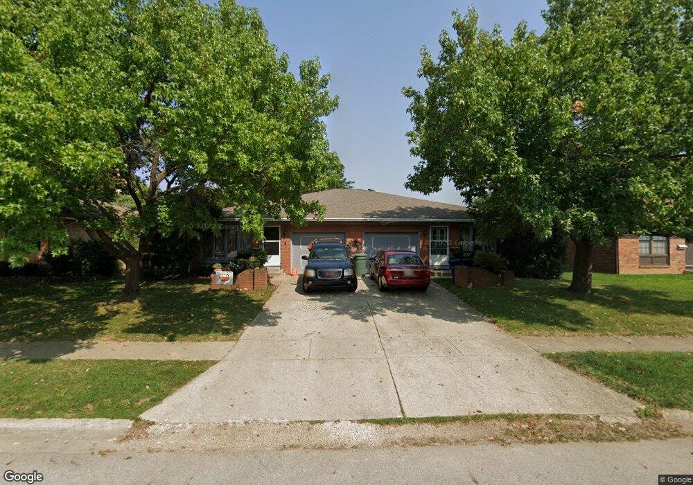
1930 Hampstead Dr Unit 932 Columbus, OH 43229
Northgate NeighborhoodEstimated Value: $336,000 - $391,000
4
Beds
3
Baths
2,320
Sq Ft
$155/Sq Ft
Est. Value
About This Home
This home is located at 1930 Hampstead Dr Unit 932, Columbus, OH 43229 and is currently estimated at $359,023, approximately $154 per square foot. 1930 Hampstead Dr Unit 932 is a home located in Franklin County with nearby schools including Alpine Elementary School, Northgate Intermediate, and Woodward Park Middle School.
Ownership History
Date
Name
Owned For
Owner Type
Purchase Details
Closed on
Sep 25, 2018
Sold by
Monaco Stanley C and Monaco Karen J
Bought by
Nimbs Iva M
Current Estimated Value
Purchase Details
Closed on
Oct 23, 2002
Sold by
Monaco Mary M
Bought by
Nimbs Iva M
Purchase Details
Closed on
Dec 20, 1999
Sold by
Estate Of Stanley C Monaco Sr
Bought by
Monaco Mary M and Monaco Stanley C
Purchase Details
Closed on
Mar 4, 1971
Bought by
Monaco Stanley C
Create a Home Valuation Report for This Property
The Home Valuation Report is an in-depth analysis detailing your home's value as well as a comparison with similar homes in the area
Home Values in the Area
Average Home Value in this Area
Purchase History
| Date | Buyer | Sale Price | Title Company |
|---|---|---|---|
| Nimbs Iva M | $69,700 | Hbi Title | |
| Nimbs Iva M | -- | -- | |
| Monaco Mary M | -- | -- | |
| Monaco Stanley C | -- | -- |
Source: Public Records
Tax History Compared to Growth
Tax History
| Year | Tax Paid | Tax Assessment Tax Assessment Total Assessment is a certain percentage of the fair market value that is determined by local assessors to be the total taxable value of land and additions on the property. | Land | Improvement |
|---|---|---|---|---|
| 2024 | $4,934 | $108,790 | $24,330 | $84,460 |
| 2023 | $4,872 | $108,790 | $24,330 | $84,460 |
| 2022 | $3,203 | $61,010 | $13,060 | $47,950 |
| 2021 | $3,209 | $61,010 | $13,060 | $47,950 |
| 2020 | $3,213 | $61,010 | $13,060 | $47,950 |
| 2019 | $3,147 | $48,790 | $10,430 | $38,360 |
| 2018 | $1,571 | $48,790 | $10,430 | $38,360 |
| 2017 | $2,659 | $48,790 | $10,430 | $38,360 |
| 2016 | $2,803 | $49,670 | $10,430 | $39,240 |
| 2015 | $1,277 | $49,670 | $10,430 | $39,240 |
| 2014 | $2,509 | $49,670 | $10,430 | $39,240 |
| 2013 | $1,454 | $55,195 | $11,585 | $43,610 |
Source: Public Records
Map
Nearby Homes
- 6019 Beechcroft Rd
- 6245 Sharon Woods Blvd
- 5732 Beechcroft Rd Unit B
- 2250 Webster Canyon Ct
- 5726 Beechcroft Rd Unit J
- 1752 Pine Tree St S Unit H
- 1743 Pine Tree St N Unit A
- 1881 Brimfield Rd
- 6035 Karl Rd
- 1549 Alpine Dr
- 6355 Johnanne St
- 6342 Bellmeadow Dr
- 2197 Bayfield Dr
- 6048 Pinemoor St
- 6407 Skywae Dr
- 2084 Brookfield Rd
- 2292 Laurelwood Dr Unit 2292L
- 1687 Brookfield Square S
- 1914 Walden Dr
- 6407 Faircrest Rd
- 1938 Hampstead Dr Unit 940
- 1938-1940 Hampstead Dr
- 1922-1924 Hampstead Dr
- 1922 Hampstead Dr Unit 924
- 1938 -1940 Hampstead Dr
- 1950 Hampstead Dr Unit 952
- 1929 Fairhaven Rd
- 1952 Hampstead Dr
- 1908 Hampstead Dr Unit 910
- 1921 Fairhaven Rd
- 1933 Hampstead Dr Unit 935
- 1933-1935 Hampstead Dr
- 1921 Hampstead Dr Unit 923
- 1921 Hampstead Dr Unit 1923
- 1921-1923 Hampstead Dr
- 1915 Fairhaven Rd
- 1937 Fairhaven Rd
- 1941 Hampstead Dr Unit 943
- 1941 Hampstead Dr Unit 2
- 6043 Clintonview St